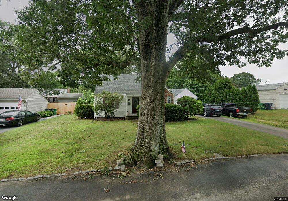
11 Bangor St Warwick, RI 02886
Greenwood NeighborhoodEstimated Value: $389,000 - $429,000
2
Beds
1
Bath
1,338
Sq Ft
$303/Sq Ft
Est. Value
About This Home
This home is located at 11 Bangor St, Warwick, RI 02886 and is currently estimated at $405,229, approximately $302 per square foot. 11 Bangor St is a home located in Kent County with nearby schools including Islamic School of Rhode Island, St Joseph School, and St Rose Of Lima School.
Ownership History
Date
Name
Owned For
Owner Type
Purchase Details
Closed on
Mar 29, 1995
Sold by
Crook Ruth A Est
Bought by
Cranham Jeremy P
Current Estimated Value
Create a Home Valuation Report for This Property
The Home Valuation Report is an in-depth analysis detailing your home's value as well as a comparison with similar homes in the area
Home Values in the Area
Average Home Value in this Area
Purchase History
| Date | Buyer | Sale Price | Title Company |
|---|---|---|---|
| Cranham Jeremy P | $89,500 | -- |
Source: Public Records
Mortgage History
| Date | Status | Borrower | Loan Amount |
|---|---|---|---|
| Open | Cranham Jeremy P | $75,000 | |
| Open | Cranham Jeremy P | $150,000 | |
| Closed | Cranham Jeremy P | $130,437 | |
| Closed | Cranham Jeremy P | $15,000 |
Source: Public Records
Tax History
| Year | Tax Paid | Tax Assessment Tax Assessment Total Assessment is a certain percentage of the fair market value that is determined by local assessors to be the total taxable value of land and additions on the property. | Land | Improvement |
|---|---|---|---|---|
| 2025 | $4,591 | $361,500 | $112,900 | $248,600 |
| 2024 | $4,382 | $302,800 | $98,100 | $204,700 |
| 2023 | $4,297 | $302,800 | $98,100 | $204,700 |
| 2022 | $4,124 | $220,200 | $65,200 | $155,000 |
| 2021 | $4,124 | $220,200 | $65,200 | $155,000 |
| 2020 | $4,124 | $220,200 | $65,200 | $155,000 |
| 2019 | $4,124 | $220,200 | $65,200 | $155,000 |
| 2018 | $4,054 | $194,900 | $71,800 | $123,100 |
| 2017 | $3,945 | $194,900 | $71,800 | $123,100 |
| 2016 | $3,945 | $194,900 | $71,800 | $123,100 |
| 2015 | $3,254 | $156,800 | $58,000 | $98,800 |
| 2014 | $3,145 | $156,800 | $58,000 | $98,800 |
| 2013 | $3,103 | $156,800 | $58,000 | $98,800 |
Source: Public Records
Map
Nearby Homes
- 7 Rutherford Ct Unit 12
- 139 Lancaster Ave
- 63 Pond View Dr
- 36 Great Oak Dr
- 134 Blue Hill Dr
- 190 Chapmans Ave
- 69 Haverhill Ave
- 2907 Post Rd Unit 2
- 2907 Post Rd Unit 3
- 6 Lillian Ct
- 2789 Post Rd
- 892 Halifax Dr
- 84 Spruce St
- 219 Brian Dr
- 123 Edman St
- 45 Diamond Hill Rd
- 52 Benefit St
- 403 Commonwealth Ave
- 5 Barre Ct
- 237 Commonwealth Ave