11 Barnett Rd Canterbury, NH 03224
Estimated Value: $637,000 - $729,000
3
Beds
3
Baths
3,279
Sq Ft
$209/Sq Ft
Est. Value
About This Home
This home is located at 11 Barnett Rd, Canterbury, NH 03224 and is currently estimated at $685,576, approximately $209 per square foot. 11 Barnett Rd is a home with nearby schools including Canterbury Elementary School, Belmont Middle School, and Belmont High School.
Ownership History
Date
Name
Owned For
Owner Type
Purchase Details
Closed on
Dec 19, 2024
Sold by
Todd Calvin and Todd Alice
Bought by
Todd Ft and Todd
Current Estimated Value
Purchase Details
Closed on
Feb 25, 2014
Sold by
Stone Pamela L
Bought by
Todd Calvin and Todd Alice
Create a Home Valuation Report for This Property
The Home Valuation Report is an in-depth analysis detailing your home's value as well as a comparison with similar homes in the area
Home Values in the Area
Average Home Value in this Area
Purchase History
| Date | Buyer | Sale Price | Title Company |
|---|---|---|---|
| Todd Ft | -- | None Available | |
| Todd Ft | -- | None Available | |
| Todd Ft | -- | None Available | |
| Todd Ft | -- | None Available | |
| Todd Ft | -- | None Available | |
| Todd Calvin | $65,000 | -- | |
| Todd Calvin | $65,000 | -- |
Source: Public Records
Mortgage History
| Date | Status | Borrower | Loan Amount |
|---|---|---|---|
| Previous Owner | Todd Calvin | $200,000 |
Source: Public Records
Tax History Compared to Growth
Tax History
| Year | Tax Paid | Tax Assessment Tax Assessment Total Assessment is a certain percentage of the fair market value that is determined by local assessors to be the total taxable value of land and additions on the property. | Land | Improvement |
|---|---|---|---|---|
| 2024 | $9,503 | $418,997 | $106,197 | $312,800 |
| 2023 | $8,801 | $419,075 | $106,275 | $312,800 |
| 2022 | $8,723 | $419,386 | $106,586 | $312,800 |
| 2021 | $8,574 | $418,039 | $106,639 | $311,400 |
| 2020 | $8,357 | $302,900 | $79,300 | $223,600 |
| 2019 | $8,085 | $290,100 | $79,300 | $210,800 |
| 2018 | $7,708 | $290,100 | $79,300 | $210,800 |
| 2017 | $7,537 | $290,100 | $79,300 | $210,800 |
| 2016 | $7,131 | $285,800 | $79,300 | $206,500 |
| 2015 | $7,354 | $276,900 | $68,300 | $208,600 |
| 2014 | $7,368 | $272,400 | $68,300 | $204,100 |
| 2013 | $1,490 | $57,000 | $57,000 | $0 |
Source: Public Records
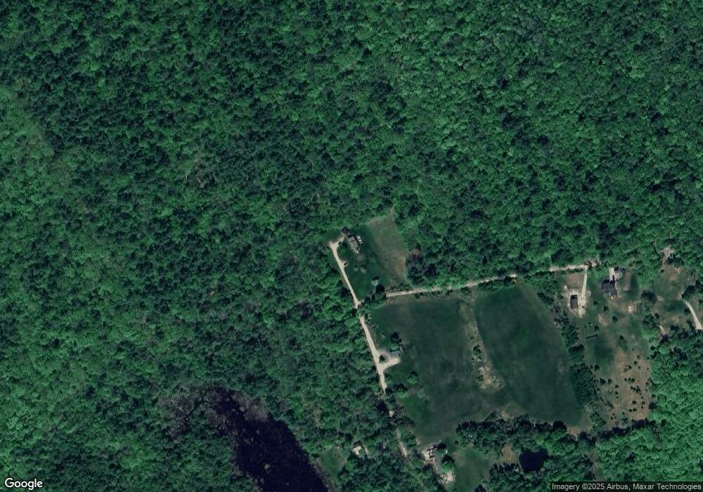
Map
Nearby Homes
- 000 Baptist Rd
- 41 Hackleboro Rd
- 22 Abberton Rd
- 445 Shaker Rd
- 55 Whitehouse Rd
- 590 Shaker Rd
- 0 Polly Ham Rd
- 287 Clough Pond Rd
- 241 Clough Pond Rd
- 18 Robin Shore Dr
- 19 Sherwood Forest Dr
- 309 Southwest Rd
- 445 Payson Rd
- 52 E Side Rd
- 44 Sandogardy Pond Rd
- 5 Brook Cir
- 0 Knowles Pond Rd Unit 5062744
- 18 Shady Ln
- 427 Shaker Rd
- 23 Canterbury Crossing
- 286 Hackleboro Rd
- 000 Barnett Rd
- 17 Sunset Hill Dr
- 28 Sunset Hill Dr
- 28 Sunset Hill Dr
- 24 Sunset Hill Dr
- 39 Sunset Hill Dr
- 290 Hackleboro Rd
- 257 Hackleboro Rd
- 271 Hackleboro Rd
- 42 Briar Bush Rd
- 136 Foster Rd
- 302 Hackleboro Rd
- 26 Briar Bush Rd
- 139 Foster Rd
- 120 Foster Rd
- 122 Foster Rd
- 19 Briar Bush Rd
- 324 Hackleboro Rd
- 321 Hackleboro Rd