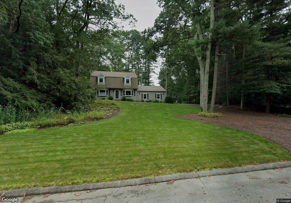
11 Beaverbrook Rd Norfolk, MA 02056
Estimated Value: $687,000 - $759,000
3
Beds
3
Baths
1,854
Sq Ft
$389/Sq Ft
Est. Value
About This Home
This home is located at 11 Beaverbrook Rd, Norfolk, MA 02056 and is currently estimated at $721,191, approximately $388 per square foot. 11 Beaverbrook Rd is a home located in Norfolk County with nearby schools including H. Olive Day School, Freeman-Kennedy School, and Clifford Academy.
Ownership History
Date
Name
Owned For
Owner Type
Purchase Details
Closed on
Oct 4, 2017
Sold by
Feczko Robert W and Feczko Carolyn J
Bought by
Feczko Ret
Current Estimated Value
Purchase Details
Closed on
Nov 20, 1981
Bought by
Feczko Robert W and Feczko Carolyn
Create a Home Valuation Report for This Property
The Home Valuation Report is an in-depth analysis detailing your home's value as well as a comparison with similar homes in the area
Home Values in the Area
Average Home Value in this Area
Purchase History
| Date | Buyer | Sale Price | Title Company |
|---|---|---|---|
| Feczko Ret | -- | -- | |
| Feczko Robert W | $104,000 | -- |
Source: Public Records
Mortgage History
| Date | Status | Borrower | Loan Amount |
|---|---|---|---|
| Previous Owner | Feczko Robert W | $100,000 | |
| Previous Owner | Feczko Robert W | $65,000 |
Source: Public Records
Tax History
| Year | Tax Paid | Tax Assessment Tax Assessment Total Assessment is a certain percentage of the fair market value that is determined by local assessors to be the total taxable value of land and additions on the property. | Land | Improvement |
|---|---|---|---|---|
| 2025 | $9,740 | $609,900 | $213,600 | $396,300 |
| 2024 | $9,199 | $590,800 | $213,600 | $377,200 |
| 2023 | $8,720 | $531,400 | $213,600 | $317,800 |
| 2022 | $8,265 | $454,100 | $199,800 | $254,300 |
| 2021 | $8,043 | $447,100 | $194,100 | $253,000 |
| 2020 | $7,823 | $419,700 | $176,400 | $243,300 |
| 2019 | $7,545 | $412,500 | $176,400 | $236,100 |
| 2018 | $7,275 | $390,700 | $176,400 | $214,300 |
| 2017 | $7,170 | $393,500 | $176,400 | $217,100 |
| 2016 | $7,039 | $389,300 | $176,400 | $212,900 |
| 2015 | $6,778 | $383,800 | $168,000 | $215,800 |
| 2014 | $6,458 | $370,500 | $168,000 | $202,500 |
Source: Public Records
Map
Nearby Homes
- 8 Ridgefield Rd
- 246 Forest Grove Ave
- 0 W Birch Rd
- 45 Joshua Rd
- 23 Fredrickson Rd
- 11 Weber Farm Rd Unit 11
- 8 Weber Farm Rd Unit 8
- 30 Weber Farm Rd Unit 30
- 50 Reed Fulton Ave Unit Lot 61
- 1 Weber Farm Rd Unit 1
- 11 Sharon Ave
- 9 Sharon Ave
- 576 Dedham St
- 7 Keeney Pond Rd
- 19 Waites Crossing
- 13 Waites Crossing
- 500 Franklin St
- 0 Toils End Rd
- 16 Keeney Pond Rd
- 9 Elliot Mills Unit 5
- 9 Beaverbrook Rd
- 15 Beaverbrook Rd
- 14 Beaverbrook Rd
- 17 Beaverbrook Rd
- 16 Beaverbrook Rd
- 17 Longmeadow Rd
- 19 Longmeadow Rd
- 18 Beaverbrook Rd
- 15 Longmeadow Rd
- 21 Longmeadow Rd
- 7 Blueberry Ln
- 19 Beaverbrook Rd
- 11 Longmeadow Rd
- 23 Longmeadow Rd
- 3 Blueberry Ln
- 18 Longmeadow Rd
- 9 Longmeadow Rd
- 16 Longmeadow Rd
- 1 Blueberry Ln
- 14 Longmeadow Rd
Your Personal Tour Guide
Ask me questions while you tour the home.