11 Breakdown Ln Moultonborough, NH 03254
Estimated Value: $574,000 - $808,000
4
Beds
2
Baths
3,252
Sq Ft
$203/Sq Ft
Est. Value
About This Home
This home is located at 11 Breakdown Ln, Moultonborough, NH 03254 and is currently estimated at $661,771, approximately $203 per square foot. 11 Breakdown Ln is a home located in Carroll County with nearby schools including Moultonborough Central School, Moultonborough Academy High School, and Immaculate Conception Apostolic School.
Ownership History
Date
Name
Owned For
Owner Type
Purchase Details
Closed on
Jul 27, 2001
Sold by
Glover Edward H and Glover Judith S
Bought by
Finnegan Mark T and Finnegan Stephanie K
Current Estimated Value
Home Financials for this Owner
Home Financials are based on the most recent Mortgage that was taken out on this home.
Original Mortgage
$126,000
Outstanding Balance
$49,257
Interest Rate
7.18%
Mortgage Type
Purchase Money Mortgage
Estimated Equity
$612,514
Create a Home Valuation Report for This Property
The Home Valuation Report is an in-depth analysis detailing your home's value as well as a comparison with similar homes in the area
Home Values in the Area
Average Home Value in this Area
Purchase History
| Date | Buyer | Sale Price | Title Company |
|---|---|---|---|
| Finnegan Mark T | $141,000 | -- |
Source: Public Records
Mortgage History
| Date | Status | Borrower | Loan Amount |
|---|---|---|---|
| Open | Finnegan Mark T | $126,000 |
Source: Public Records
Tax History Compared to Growth
Tax History
| Year | Tax Paid | Tax Assessment Tax Assessment Total Assessment is a certain percentage of the fair market value that is determined by local assessors to be the total taxable value of land and additions on the property. | Land | Improvement |
|---|---|---|---|---|
| 2024 | $2,838 | $502,300 | $109,300 | $393,000 |
| 2023 | $2,666 | $467,700 | $83,500 | $384,200 |
| 2022 | $1,937 | $405,200 | $71,400 | $333,800 |
| 2021 | $2,396 | $343,300 | $58,500 | $284,800 |
| 2020 | $2,300 | $322,600 | $58,500 | $264,100 |
| 2019 | $1,966 | $274,900 | $58,500 | $216,400 |
| 2018 | $2,057 | $266,400 | $54,200 | $212,200 |
| 2017 | $2,097 | $255,100 | $54,200 | $200,900 |
| 2016 | $2,161 | $247,300 | $54,200 | $193,100 |
| 2015 | $2,051 | $227,600 | $54,200 | $173,400 |
| 2014 | $1,861 | $210,100 | $54,200 | $155,900 |
| 2013 | $1,826 | $210,100 | $54,200 | $155,900 |
Source: Public Records
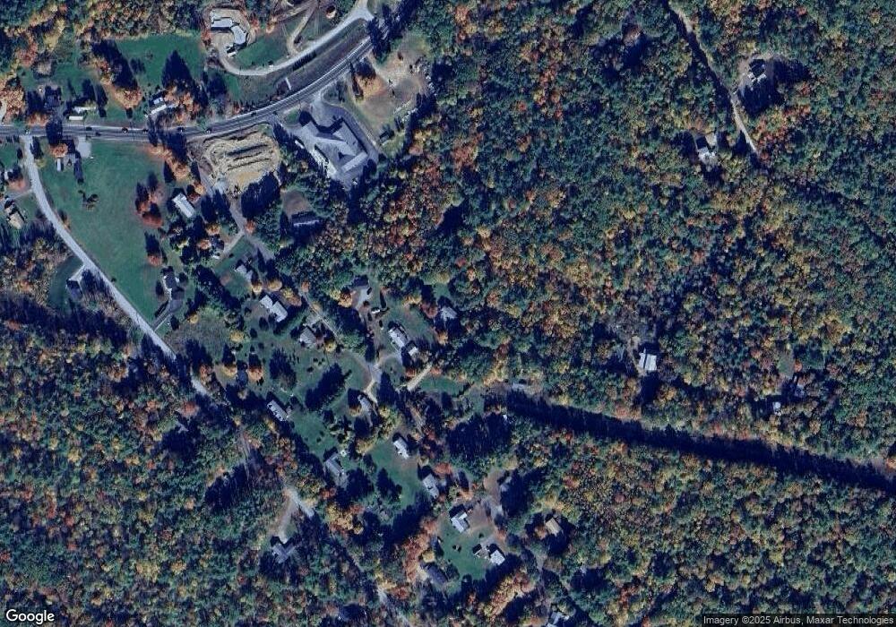
Map
Nearby Homes
- 11 Jennifer's Path
- 21 Burton Rd
- 33 Blackadar Ln
- 145 Hanson Dr
- 25 Whittier Hwy
- 4 Schneider Rd
- 38 Lake Shore Dr Unit 12
- 38 Lake Shore Dr Unit 10
- 320 Redding Ln
- 525 Whittier Hwy
- 203 Krainewood Dr
- 00 Whittier Hwy Unit 8
- 100 Marvin Rd
- 24 Dew Point Ln
- 20 Coe Hill Rd
- 52 Chase Cir
- 122 Toltec Point Rd
- 647 Whittier Hwy
- 2 Little Badger Island
- 122 Coe Hill Rd
- 45 Redding Ln
- 35 Redding Ln
- 31 Redding Ln
- 61 Redding Ln
- 32 Redding Ln
- 46 Redding Ln
- 25 Redding Ln
- 11 Redding Ln Unit B-9, B-10
- 11 Redding Ln Unit B-9
- 11 Redding Ln Unit A-4
- 11 Redding Ln Unit B-12
- 11 Redding Ln Unit B-7
- 11 Redding Ln Unit A-6
- 11 Redding Ln Unit B-13
- 54 Redding Ln
- 278 Whittier Hwy
- 28 Redding Ln
- 81 Redding Ln
- 64 Redding Ln
- 51 Birch Ln