11 Burning Tree Rd Newport Beach, CA 92660
Big Canyon NeighborhoodEstimated Value: $6,984,000 - $10,352,124
3
Beds
5
Baths
6,677
Sq Ft
$1,247/Sq Ft
Est. Value
About This Home
This home is located at 11 Burning Tree Rd, Newport Beach, CA 92660 and is currently estimated at $8,324,531, approximately $1,246 per square foot. 11 Burning Tree Rd is a home located in Orange County with nearby schools including Abraham Lincoln Elementary School, Corona del Mar Middle and High School, and Our Lady Queen Of Angels.
Ownership History
Date
Name
Owned For
Owner Type
Purchase Details
Closed on
Oct 29, 1993
Sold by
Tucker Larry
Bought by
Tucker Larry
Current Estimated Value
Home Financials for this Owner
Home Financials are based on the most recent Mortgage that was taken out on this home.
Original Mortgage
$480,000
Interest Rate
6.81%
Purchase Details
Closed on
Sep 8, 1993
Sold by
Johnson Jill E
Bought by
Tucker Larry
Home Financials for this Owner
Home Financials are based on the most recent Mortgage that was taken out on this home.
Original Mortgage
$480,000
Interest Rate
6.81%
Create a Home Valuation Report for This Property
The Home Valuation Report is an in-depth analysis detailing your home's value as well as a comparison with similar homes in the area
Home Values in the Area
Average Home Value in this Area
Purchase History
| Date | Buyer | Sale Price | Title Company |
|---|---|---|---|
| Tucker Larry | -- | -- | |
| Tucker Larry | -- | First American Title Insuran |
Source: Public Records
Mortgage History
| Date | Status | Borrower | Loan Amount |
|---|---|---|---|
| Previous Owner | Tucker Larry | $480,000 |
Source: Public Records
Tax History Compared to Growth
Tax History
| Year | Tax Paid | Tax Assessment Tax Assessment Total Assessment is a certain percentage of the fair market value that is determined by local assessors to be the total taxable value of land and additions on the property. | Land | Improvement |
|---|---|---|---|---|
| 2025 | $40,455 | $3,890,643 | $1,438,920 | $2,451,723 |
| 2024 | $40,455 | $3,814,356 | $1,410,706 | $2,403,650 |
| 2023 | $39,509 | $3,739,565 | $1,383,045 | $2,356,520 |
| 2022 | $38,855 | $3,666,241 | $1,355,927 | $2,310,314 |
| 2021 | $38,108 | $3,594,354 | $1,329,340 | $2,265,014 |
| 2020 | $37,742 | $3,557,499 | $1,315,709 | $2,241,790 |
| 2019 | $36,954 | $3,487,745 | $1,289,911 | $2,197,834 |
| 2018 | $36,214 | $3,419,358 | $1,264,618 | $2,154,740 |
| 2017 | $29,521 | $2,777,631 | $1,239,821 | $1,537,810 |
| 2016 | $25,603 | $2,413,358 | $1,215,511 | $1,197,847 |
| 2015 | $18,553 | $1,732,073 | $1,197,253 | $534,820 |
| 2014 | $16,633 | $1,557,316 | $1,173,801 | $383,515 |
Source: Public Records
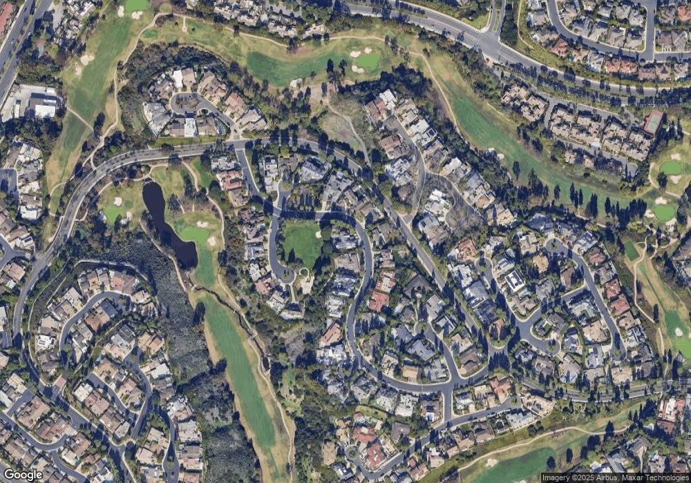
Map
Nearby Homes
- 67 Sea Island Dr
- 51 Sea Pine Ln Unit 59
- 14 Rue Chantilly
- 49 Canyon Island Dr
- 6 Rue Cannes
- 10 Rue Grand Ducal
- 38 Sea Island Dr
- 4 Rue Grand Ducal
- 35 Northampton Ct Unit 118
- 115 Old Course Dr
- 2 Royal Saint George Rd
- 5 Rue Marseille
- 56 Royal Saint George Rd
- 38 Royal Saint George Rd
- 515 Bay Hill Dr
- 23 Lochmoor Ln
- 8 Gleneagles Dr
- 2215 Arbutus St
- 1 Cypress Point Ln
- 29 Augusta Ln
- 17 Burning Tree Rd
- 14 Burning Tree Rd
- 12 Burning Tree Rd
- 16 Burning Tree Rd
- 19 Burning Tree Rd
- 10 Burning Tree Rd
- 14 Deerwood Ln
- 18 Burning Tree Rd
- 20 Burning Tree Rd
- 21 Burning Tree Rd
- 16 Deerwood Ln
- 22 Burning Tree Rd
- 1 Rue Biarritz
- 1 Deerwood Ln
- 3 Rue Biarritz
- 5 Rue Deauville
- 11 Deerwood Ln
- 3 Deerwood Ln
- 9 Deerwood Ln
- 24 Burning Tree Rd