11 Camp Rd Orleans, MA 02653
Estimated Value: $1,811,000 - $2,576,242
3
Beds
3
Baths
3,201
Sq Ft
$702/Sq Ft
Est. Value
About This Home
This home is located at 11 Camp Rd, Orleans, MA 02653 and is currently estimated at $2,247,811, approximately $702 per square foot. 11 Camp Rd is a home located in Barnstable County with nearby schools including Orleans Elementary School, Nauset Regional Middle School, and Nauset Regional High School.
Ownership History
Date
Name
Owned For
Owner Type
Purchase Details
Closed on
Oct 20, 2006
Sold by
Eskin Barbara and Eskin Stanley G
Bought by
Shactman David I and Minear Elizabeth C
Current Estimated Value
Purchase Details
Closed on
Nov 13, 2003
Sold by
Mccrossan Thomas J and Mccrossan Susan M
Bought by
Eskin Stanley G and Eskin Barbara
Home Financials for this Owner
Home Financials are based on the most recent Mortgage that was taken out on this home.
Original Mortgage
$600,000
Interest Rate
5.81%
Mortgage Type
Purchase Money Mortgage
Purchase Details
Closed on
Jul 11, 2003
Sold by
Huntington Trumbull and Huntington Caroline W
Bought by
Mccrossan Thomas J and Mccrossan Susan M
Purchase Details
Closed on
Apr 28, 1993
Sold by
Guiliano Francis J and Guiliano Mary Beth
Bought by
Huntington Trumbull and Huntington Caroline
Purchase Details
Closed on
May 20, 1988
Sold by
Hagenbuckle Jos G
Bought by
Guiliano Francis J
Create a Home Valuation Report for This Property
The Home Valuation Report is an in-depth analysis detailing your home's value as well as a comparison with similar homes in the area
Home Values in the Area
Average Home Value in this Area
Purchase History
| Date | Buyer | Sale Price | Title Company |
|---|---|---|---|
| Shactman David I | -- | -- | |
| Eskin Stanley G | $1,300,000 | -- | |
| Mccrossan Thomas J | $1,000,000 | -- | |
| Huntington Trumbull | $175,000 | -- | |
| Guiliano Francis J | $215,000 | -- |
Source: Public Records
Mortgage History
| Date | Status | Borrower | Loan Amount |
|---|---|---|---|
| Previous Owner | Eskin Stanley G | $600,000 |
Source: Public Records
Tax History Compared to Growth
Tax History
| Year | Tax Paid | Tax Assessment Tax Assessment Total Assessment is a certain percentage of the fair market value that is determined by local assessors to be the total taxable value of land and additions on the property. | Land | Improvement |
|---|---|---|---|---|
| 2025 | $13,688 | $2,193,600 | $905,300 | $1,288,300 |
| 2024 | $12,701 | $1,981,400 | $887,500 | $1,093,900 |
| 2023 | $11,426 | $1,834,000 | $821,800 | $1,012,200 |
| 2022 | $10,855 | $1,507,600 | $747,100 | $760,500 |
| 2021 | $10,860 | $1,385,200 | $750,800 | $634,400 |
| 2020 | $10,287 | $1,360,700 | $750,800 | $609,900 |
| 2019 | $9,826 | $1,327,900 | $730,000 | $597,900 |
| 2018 | $8,612 | $1,298,900 | $716,000 | $582,900 |
| 2017 | $7,799 | $1,232,000 | $716,000 | $516,000 |
| 2016 | $7,896 | $1,222,300 | $710,100 | $512,200 |
| 2015 | $7,744 | $1,206,300 | $696,100 | $510,200 |
Source: Public Records
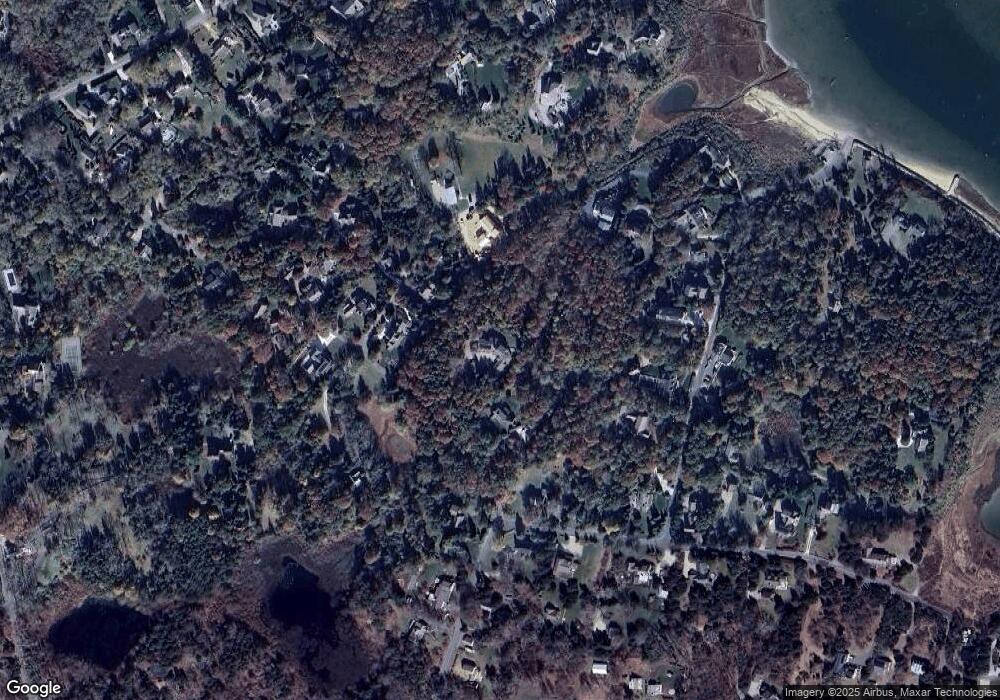
Map
Nearby Homes
- 3 Bramblewood Ln
- 2 Seaview Rd
- 6 Snow Way
- 46 Freeman Ln
- 6 Hathorne Ln
- 25 Twin Rocks Dr
- 20 Kittiwake Ln
- 30 Cove Rd
- 60 Smith Heights Way
- 993 Intonti Way
- 995 Intonti Way
- 53 Great Oak Rd
- 1061 State Hwy Unit 4
- 110 Beach Rd
- 785 State Hwy Unit 9
- 18 Cole Place
- 320 State Hwy
- 330 Hay Rd
- 216 Main St
- 150 Old State Hwy Unit Compound
- 15 Camp Rd
- 4 Grassy Knoll Way
- 6 Grassy Knoll Way
- 19 Camp Rd
- 7 Twitchknot Farm Way
- 3 Twitchknot Farm Way
- 11 Twitchknot Farm Way
- 10 Grassy Knoll Way
- 7 Twitchnot Farm
- 6 Twitchknot Farm Way
- 5 Grassy Knoll Way
- 21 Camp Rd
- 40 Champlain Rd
- 8 Snow Shore Rd
- 36 Champlain Rd
- 20 Camp Rd
- 10 Snow Shore Rd
- 46 Champlain Rd
- 9 Seal Ln
- 18 Snow Shore Rd