11 Cattail Dr Westerly, RI 02891
Estimated Value: $1,514,000 - $2,281,000
4
Beds
3
Baths
4,106
Sq Ft
$445/Sq Ft
Est. Value
About This Home
This home is located at 11 Cattail Dr, Westerly, RI 02891 and is currently estimated at $1,829,129, approximately $445 per square foot. 11 Cattail Dr is a home with nearby schools including Westerly High School.
Ownership History
Date
Name
Owned For
Owner Type
Purchase Details
Closed on
Jul 22, 2021
Sold by
Joubert Daniel P and Joubert Danielle N
Bought by
Daniel & D Joubert Lt
Current Estimated Value
Purchase Details
Closed on
May 24, 2017
Sold by
Matarese Hldg Llc
Bought by
Hollis Robert J and Hollis Ellen R
Create a Home Valuation Report for This Property
The Home Valuation Report is an in-depth analysis detailing your home's value as well as a comparison with similar homes in the area
Home Values in the Area
Average Home Value in this Area
Purchase History
| Date | Buyer | Sale Price | Title Company |
|---|---|---|---|
| Daniel & D Joubert Lt | -- | None Available | |
| Hollis Robert J | -- | -- |
Source: Public Records
Tax History Compared to Growth
Tax History
| Year | Tax Paid | Tax Assessment Tax Assessment Total Assessment is a certain percentage of the fair market value that is determined by local assessors to be the total taxable value of land and additions on the property. | Land | Improvement |
|---|---|---|---|---|
| 2025 | $8,801 | $1,237,800 | $385,800 | $852,000 |
| 2024 | $9,638 | $982,500 | $302,000 | $680,500 |
| 2023 | $9,452 | $982,500 | $302,000 | $680,500 |
| 2022 | $9,393 | $982,500 | $302,000 | $680,500 |
| 2021 | $5,755 | $499,600 | $215,400 | $284,200 |
| 2020 | $4,726 | $417,900 | $215,400 | $202,500 |
| 2019 | $2,083 | $186,000 | $186,000 | $0 |
| 2018 | $1,985 | $167,100 | $167,100 | $0 |
| 2017 | $1,937 | $167,100 | $167,100 | $0 |
| 2016 | $870 | $74,500 | $74,500 | $0 |
| 2015 | $806 | $74,500 | $74,500 | $0 |
| 2014 | $793 | $74,500 | $74,500 | $0 |
Source: Public Records
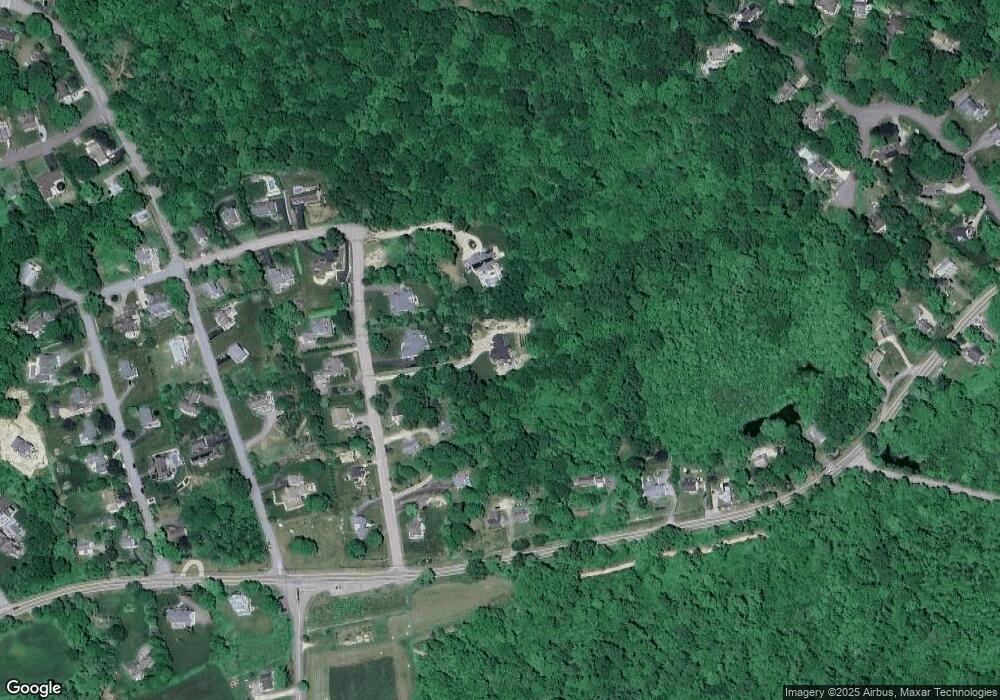
Map
Nearby Homes
- 43 Noyes Neck Rd
- 5 Robin Hollow Ln
- 342 Post Rd
- 35 Robin Hollow Ln
- 346 Post Rd
- 30 Clifford Dr
- 15 Breach Dr
- 22 Breach Dr
- 33 Stuart St
- 7 Fenway Rd
- 6 Verdi Rd
- 112 Noyes Neck Rd
- 597 Atlantic Ave
- 137 Cove Point Rd E
- 12 Fallon Trail
- 470 Atlantic Ave
- 446 Atlantic Ave
- 5259 Old Post Rd
- 118 Dunns Corner Rd
- 54 Sherwood Dr