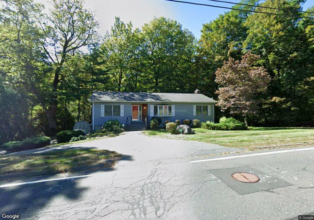
11 Cayenne St West Springfield, MA 01089
Estimated Value: $462,000 - $534,000
3
Beds
2
Baths
2,140
Sq Ft
$229/Sq Ft
Est. Value
About This Home
This home is located at 11 Cayenne St, West Springfield, MA 01089 and is currently estimated at $489,932, approximately $228 per square foot. 11 Cayenne St is a home located in Hampden County with nearby schools including West Springfield High School, Hampden Charter School of Science West, and St Thomas The Apostle School.
Ownership History
Date
Name
Owned For
Owner Type
Purchase Details
Closed on
Jun 30, 2009
Sold by
Ogrady Edward W
Bought by
Doty Arthur R and Doty Joyce M
Current Estimated Value
Home Financials for this Owner
Home Financials are based on the most recent Mortgage that was taken out on this home.
Original Mortgage
$201,600
Interest Rate
4.92%
Mortgage Type
Purchase Money Mortgage
Purchase Details
Closed on
Jul 20, 2001
Sold by
Bartolucci John
Bought by
Ogrady Edward W and Ogrady Deborah G
Home Financials for this Owner
Home Financials are based on the most recent Mortgage that was taken out on this home.
Original Mortgage
$195,550
Interest Rate
7.2%
Mortgage Type
Purchase Money Mortgage
Create a Home Valuation Report for This Property
The Home Valuation Report is an in-depth analysis detailing your home's value as well as a comparison with similar homes in the area
Home Values in the Area
Average Home Value in this Area
Purchase History
We collect this data history from publicly available records. To have your information removed, we recommend requesting removal directly through your county’s website.
| Date | Buyer | Sale Price | Title Company |
|---|---|---|---|
| Doty Arthur R | $252,000 | -- | |
| Ogrady Edward W | $189,900 | -- |
Source: Public Records
Mortgage History
We collect this data history from publicly available records. To have your information removed, we recommend requesting removal directly through your county’s website.
| Date | Status | Borrower | Loan Amount |
|---|---|---|---|
| Open | Ogrady Edward W | $162,000 | |
| Closed | Doty Arthur R | $201,600 | |
| Previous Owner | Ogrady Edward W | $201,690 | |
| Previous Owner | Ogrady Edward W | $195,550 | |
| Previous Owner | Ogrady Edward W | $140,000 |
Source: Public Records
Tax History
| Year | Tax Paid | Tax Assessment Tax Assessment Total Assessment is a certain percentage of the fair market value that is determined by local assessors to be the total taxable value of land and additions on the property. | Land | Improvement |
|---|---|---|---|---|
| 2025 | $5,276 | $354,800 | $123,600 | $231,200 |
| 2024 | $5,010 | $338,300 | $123,100 | $215,200 |
| 2023 | $4,814 | $309,800 | $123,100 | $186,700 |
| 2022 | $4,353 | $276,200 | $112,000 | $164,200 |
| 2021 | $4,340 | $256,800 | $106,600 | $150,200 |
| 2020 | $4,332 | $255,000 | $106,600 | $148,400 |
| 2019 | $4,325 | $255,000 | $106,600 | $148,400 |
| 2018 | $4,348 | $255,000 | $106,600 | $148,400 |
| 2017 | $4,348 | $255,000 | $106,600 | $148,400 |
| 2016 | $4,295 | $252,800 | $102,700 | $150,100 |
| 2015 | $4,212 | $247,900 | $100,600 | $147,300 |
| 2014 | $1,014 | $247,900 | $100,600 | $147,300 |
Source: Public Records
Map
Nearby Homes
- 25 Piper Cross Rd
- 36 Shady Brook
- 38 Shady Brook
- 2 Windpath E
- 43 Gibson Way Unit 43
- 0 Ahiska Rd Unit 73477754
- 9 Jennifer Dr
- 1211 Piper Rd
- 80 Brush Hill Ave Unit 65
- 80 Brush Hill Ave Unit 51
- 80 Brush Hill Ave Unit 40
- 1318 Piper Rd
- 71 Jennifer Dr
- 82 Kings Hwy
- 177 Marion St
- 0 School St
- 131 Queen Ave
- 98 Clarence St
- 21 Elmwood Ave
- 156 South St
Your Personal Tour Guide
Ask me questions while you tour the home.