11 Central Ave N Kensington, MN 56343
Estimated Value: $71,000 - $295,000
2
Beds
1
Bath
897
Sq Ft
$161/Sq Ft
Est. Value
About This Home
This home is located at 11 Central Ave N, Kensington, MN 56343 and is currently estimated at $144,012, approximately $160 per square foot. 11 Central Ave N is a home located in Douglas County with nearby schools including West Central Area Secondary School.
Ownership History
Date
Name
Owned For
Owner Type
Purchase Details
Closed on
Aug 22, 2009
Sold by
Pooch Sonia W and Pooch Vernon
Bought by
Randt Brina L and Randt Pamela S
Current Estimated Value
Home Financials for this Owner
Home Financials are based on the most recent Mortgage that was taken out on this home.
Original Mortgage
$37,000
Outstanding Balance
$25,089
Interest Rate
5.29%
Mortgage Type
Future Advance Clause Open End Mortgage
Estimated Equity
$124,200
Purchase Details
Closed on
Apr 7, 2008
Sold by
Pooch Sonia M and Strand David M
Bought by
Pooch Sonia M and Strand David M
Purchase Details
Closed on
Jul 6, 2005
Sold by
Strand Alice R
Bought by
Strand David M and Pooch Sonia M
Create a Home Valuation Report for This Property
The Home Valuation Report is an in-depth analysis detailing your home's value as well as a comparison with similar homes in the area
Home Values in the Area
Average Home Value in this Area
Purchase History
Date | Buyer | Sale Price | Title Company |
---|---|---|---|
Randt Brina L | $15,000 | None Available | |
Strand David M | -- | None Available |
Source: Public Records
Mortgage History
Date | Status | Borrower | Loan Amount |
---|---|---|---|
Open | Randt Brina L | $37,000 |
Source: Public Records
Tax History Compared to Growth
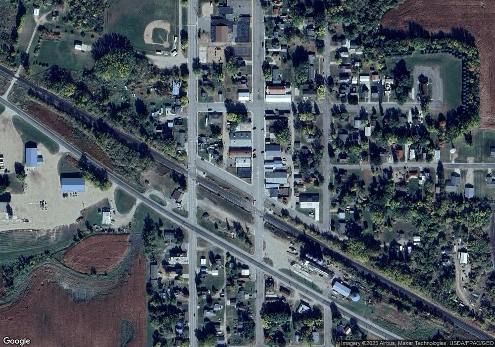
Tax History
Year | Tax Paid | Tax Assessment Tax Assessment Total Assessment is a certain percentage of the fair market value that is determined by local assessors to be the total taxable value of land and additions on the property. | Land | Improvement |
---|---|---|---|---|
2024 | $328 | $10,800 | $4,600 | $6,200 |
2023 | $328 | $12,900 | $4,600 | $8,300 |
2022 | $302 | $12,700 | $4,600 | $8,100 |
2021 | $298 | $11,500 | $4,600 | $6,900 |
2020 | $294 | $10,500 | $4,600 | $5,900 |
2019 | $182 | $9,800 | $4,100 | $5,700 |
2018 | $238 | $8,900 | $4,100 | $4,800 |
2017 | $248 | $9,600 | $4,100 | $5,500 |
2016 | $268 | $9,021 | $3,977 | $5,044 |
2015 | $278 | $0 | $0 | $0 |
2014 | -- | $10,700 | $4,100 | $6,600 |
Source: Public Records
Map
Nearby Homes
- 16 Tower St
- 7460 Unity Dr SW
- 6580 Tower Rd SW
- 114 8th St S
- 306 4th St S
- 303 4th St S
- 406 1st St S
- 404 1st St S
- XXX County Road 7 SW
- XXXX Westridge Ln SW
- 6388 Hollyhock Ln SW
- 108 4th St N
- 104 3rd St N
- 201 Alaska Ave
- 302 Dakota Ave
- 118 Alaska Ave
- XXX Loon Point Dr
- TBD 1st St N
- 12926 Daisy Ln SW
- 411 1st St N
- 11 Pacific St W Unit SW
- 18 Central Ave N
- 13 Pacific St W Unit SW
- 13 13 Pacific St W
- 13 Pacific St W
- 21 Central Ave N Unit SW
- 19 Pacific St W
- 24 Central Ave N Unit SW
- 12 State St W
- 10 State St W
- 13 Grand Ave N
- 11 Grand Ave N
- 11 11 Grand Ave N
- 28 Central Ave N Unit SW
- 11 11 N Kensington Ave
- 11 Kensington Ave N
- 11 Kensington Ave N Unit SW
- 15 Grand Ave N
- 11 Grand Ave
- 11 Pacific St E