Estimated Value: $749,000 - $887,466
3
Beds
3
Baths
2,482
Sq Ft
$327/Sq Ft
Est. Value
About This Home
This home is located at 11 Colonial Way, Wells, ME 04090 and is currently estimated at $811,822, approximately $327 per square foot. 11 Colonial Way is a home located in York County with nearby schools including Wells Elementary School, Wells Junior High School, and Wells High School.
Ownership History
Date
Name
Owned For
Owner Type
Purchase Details
Closed on
Dec 1, 2015
Sold by
Shangraw Kevin A
Bought by
Shangraw Keith L and Shangraw Kelly J
Current Estimated Value
Home Financials for this Owner
Home Financials are based on the most recent Mortgage that was taken out on this home.
Original Mortgage
$220,000
Interest Rate
3.87%
Mortgage Type
Unknown
Purchase Details
Closed on
Jun 29, 2011
Sold by
Shangraw Kevin A and Shangraw Heidi M
Bought by
Shangraw Kevin A
Home Financials for this Owner
Home Financials are based on the most recent Mortgage that was taken out on this home.
Original Mortgage
$314,417
Interest Rate
4.62%
Mortgage Type
Purchase Money Mortgage
Purchase Details
Closed on
Dec 27, 2006
Sold by
Mahoney Heidi B and Shangraw Kevin A
Bought by
Shangraw Kevin A and Mahoney Heidi B
Home Financials for this Owner
Home Financials are based on the most recent Mortgage that was taken out on this home.
Original Mortgage
$207,000
Interest Rate
6.29%
Mortgage Type
Purchase Money Mortgage
Create a Home Valuation Report for This Property
The Home Valuation Report is an in-depth analysis detailing your home's value as well as a comparison with similar homes in the area
Home Values in the Area
Average Home Value in this Area
Purchase History
| Date | Buyer | Sale Price | Title Company |
|---|---|---|---|
| Shangraw Keith L | -- | -- | |
| Shangraw Kevin A | -- | -- | |
| Shangraw Kevin A | -- | -- |
Source: Public Records
Mortgage History
| Date | Status | Borrower | Loan Amount |
|---|---|---|---|
| Closed | Shangraw Keith L | $220,000 | |
| Closed | Shangraw Kevin A | $314,417 | |
| Closed | Shangraw Kevin A | $207,000 |
Source: Public Records
Tax History Compared to Growth
Tax History
| Year | Tax Paid | Tax Assessment Tax Assessment Total Assessment is a certain percentage of the fair market value that is determined by local assessors to be the total taxable value of land and additions on the property. | Land | Improvement |
|---|---|---|---|---|
| 2024 | $5,544 | $911,830 | $201,290 | $710,540 |
| 2023 | $5,435 | $911,830 | $201,290 | $710,540 |
| 2022 | $5,286 | $505,400 | $73,180 | $432,220 |
| 2021 | $5,317 | $505,400 | $73,180 | $432,220 |
| 2020 | $5,251 | $501,010 | $91,610 | $409,400 |
| 2019 | $5,218 | $500,790 | $91,610 | $409,180 |
| 2018 | $5,168 | $500,790 | $91,610 | $409,180 |
| 2017 | $3,375 | $332,230 | $91,610 | $240,620 |
| 2016 | $3,342 | $332,230 | $91,610 | $240,620 |
| 2015 | $3,306 | $332,230 | $91,610 | $240,620 |
| 2013 | $3,040 | $333,310 | $91,610 | $241,700 |
Source: Public Records
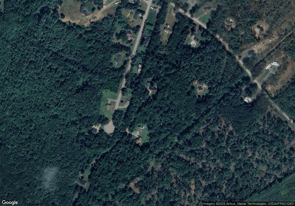
Map
Nearby Homes
- Lot 13 Laney Ln
- 94 Perry Oliver Rd
- Lot 11 Laney Ln
- 1229 Bragdon Rd
- 761 Quarry Rd
- 86 Moose Bog Ln
- 43 Michaels Rd
- lot 6 Bragdon Rd
- 233 Wells St
- 45 Grace Ln
- 469 High St
- 202 High St
- 22 Church Ave
- 38 High St
- 17 Market St
- 23 Meader St
- Lot 4 Tbd Lentago Ln Unit Lot 4
- 22 Lentago Ln
- Lot 3 Lentago Ln
- Lot #5 Adams Bridge Rd
- 0 Colonial Estates Unit 3
- 1 Colonial Way Unit 1
- 90 Thompson St
- 89 Thompson St
- 115 Thompson St
- 12 Colonial Way
- 66 Thompson St
- 5 Colonial Way
- 280 Perry Oliver Rd
- 0 Thompson St
- 57 Thompson St
- 38 Thompson St
- 342 Perry Oliver Rd
- 322 Perry Oliver Rd
- 23 Thompson St
- 250 Perry Oliver Rd
- 6 Perry Oliver Rd
- 8 Thompson St
- 273 Perry Oliver Rd
- 380 Perry Oliver Rd