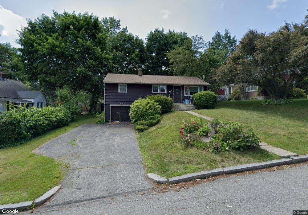
11 Conger Rd Worcester, MA 01602
West Tatnuck NeighborhoodEstimated Value: $331,000 - $383,000
3
Beds
1
Bath
1,050
Sq Ft
$344/Sq Ft
Est. Value
About This Home
This home is located at 11 Conger Rd, Worcester, MA 01602 and is currently estimated at $361,041, approximately $343 per square foot. 11 Conger Rd is a home located in Worcester County with nearby schools including West Tatnuck School, Chandler Magnet, and Jacob Hiatt Magnet School.
Create a Home Valuation Report for This Property
The Home Valuation Report is an in-depth analysis detailing your home's value as well as a comparison with similar homes in the area
Home Values in the Area
Average Home Value in this Area
Tax History
| Year | Tax Paid | Tax Assessment Tax Assessment Total Assessment is a certain percentage of the fair market value that is determined by local assessors to be the total taxable value of land and additions on the property. | Land | Improvement |
|---|---|---|---|---|
| 2025 | $4,304 | $326,300 | $117,700 | $208,600 |
| 2024 | $4,228 | $307,500 | $117,700 | $189,800 |
| 2023 | $4,068 | $283,700 | $102,300 | $181,400 |
| 2022 | $3,734 | $245,500 | $81,900 | $163,600 |
| 2021 | $3,570 | $219,300 | $65,500 | $153,800 |
| 2020 | $3,368 | $198,100 | $65,500 | $132,600 |
| 2019 | $3,163 | $175,700 | $58,900 | $116,800 |
| 2018 | $3,077 | $162,700 | $58,900 | $103,800 |
| 2017 | $3,098 | $161,200 | $58,900 | $102,300 |
| 2016 | $2,976 | $144,400 | $42,800 | $101,600 |
| 2015 | $2,898 | $144,400 | $42,800 | $101,600 |
| 2014 | $2,822 | $144,400 | $42,800 | $101,600 |
Source: Public Records
Map
Nearby Homes
- 19 Assabet Ln
- 29 Scenic Dr
- 121 Bailey St Unit D31
- 10 Edwidge St
- 58 Wedgewood Rd
- 21 Baxter St
- 9 Newburn Rd
- 17 Walbridge Rd
- 148A Tory Fort Ln
- 23 Tiverton Pkwy
- 70 Moreland Green Dr
- 122 Copperfield Rd
- 118 Beaconsfield Rd
- 47R Yarnie Unit 3A
- 47R Yarnie Unit 1B
- 47R Yarnie Unit 2B
- 47R Yarnie Unit 4B
- 47R Yarnie Unit 8B
- 47R Yarnie Unit 5A
- 47R Yarnie Unit 6B
Your Personal Tour Guide
Ask me questions while you tour the home.