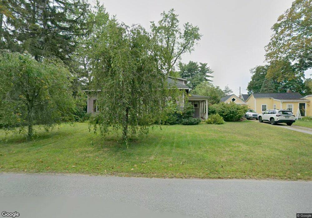
11 Courthouse Rd Amherst, NH 03031
Estimated Value: $608,000 - $813,000
3
Beds
3
Baths
2,721
Sq Ft
$264/Sq Ft
Est. Value
About This Home
This home is located at 11 Courthouse Rd, Amherst, NH 03031 and is currently estimated at $717,960, approximately $263 per square foot. 11 Courthouse Rd is a home with nearby schools including Wilkins Elementary School, Amherst Middle School, and Souhegan Cooperative High School.
Ownership History
Date
Name
Owned For
Owner Type
Purchase Details
Closed on
Aug 29, 1997
Sold by
Debelis Michael F
Bought by
Parker Timothy and Parker Pamela M
Current Estimated Value
Home Financials for this Owner
Home Financials are based on the most recent Mortgage that was taken out on this home.
Original Mortgage
$122,560
Interest Rate
7.41%
Create a Home Valuation Report for This Property
The Home Valuation Report is an in-depth analysis detailing your home's value as well as a comparison with similar homes in the area
Home Values in the Area
Average Home Value in this Area
Purchase History
| Date | Buyer | Sale Price | Title Company |
|---|---|---|---|
| Parker Timothy | $153,200 | -- |
Source: Public Records
Mortgage History
| Date | Status | Borrower | Loan Amount |
|---|---|---|---|
| Open | Parker Timothy | $85,910 | |
| Closed | Parker Timothy | $127,100 | |
| Closed | Parker Timothy | $122,560 |
Source: Public Records
Tax History
| Year | Tax Paid | Tax Assessment Tax Assessment Total Assessment is a certain percentage of the fair market value that is determined by local assessors to be the total taxable value of land and additions on the property. | Land | Improvement |
|---|---|---|---|---|
| 2024 | $11,554 | $503,900 | $178,200 | $325,700 |
| 2023 | $11,025 | $503,900 | $178,200 | $325,700 |
| 2022 | $10,647 | $503,900 | $178,200 | $325,700 |
| 2021 | $10,738 | $503,900 | $178,200 | $325,700 |
| 2020 | $10,746 | $377,300 | $138,200 | $239,100 |
| 2019 | $10,172 | $377,300 | $138,200 | $239,100 |
| 2018 | $10,274 | $377,300 | $138,200 | $239,100 |
| 2017 | $4,236 | $377,300 | $138,200 | $239,100 |
| 2016 | $4,099 | $377,300 | $138,200 | $239,100 |
| 2015 | $10,825 | $408,800 | $162,000 | $246,800 |
| 2014 | $10,899 | $408,800 | $162,000 | $246,800 |
| 2013 | $10,813 | $408,800 | $162,000 | $246,800 |
Source: Public Records
Map
Nearby Homes
- 27 Nathan Lord Rd
- 9 Northfield Rd
- 1A Debbie Ln
- 2A Renee Dr
- 3 Renee Dr
- 36 Buckridge Dr
- 0 Claude Rd
- 57 Patch Hill Ln
- 18 Souhegan St
- 30 Pond Parish Rd
- 7-101 MacK Hill Rd
- 229 Mont Vernon Rd
- 94 MacK Hill Rd
- 30 Perkins St Unit 4
- 322 Nashua St Unit 14
- 322 Nashua St Unit 21
- 38 Old Manchester Rd
- 3 Abby Ln Unit 1
- 377 Nashua St
- 486 Nashua St Unit 104