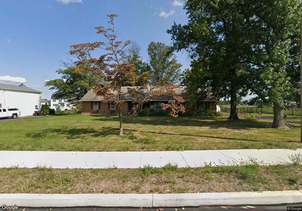
11 Cowpath Rd Unit LOT 35 Souderton, PA 18964
Estimated Value: $416,000 - $666,000
3
Beds
3
Baths
1,630
Sq Ft
$321/Sq Ft
Est. Value
About This Home
This home is located at 11 Cowpath Rd Unit LOT 35, Souderton, PA 18964 and is currently estimated at $523,168, approximately $320 per square foot. 11 Cowpath Rd Unit LOT 35 is a home located in Montgomery County with nearby schools including West Broad Street Elementary School, Indian Crest Middle School, and Souderton Area Senior High School.
Ownership History
Date
Name
Owned For
Owner Type
Purchase Details
Closed on
Nov 21, 2012
Sold by
Cressman Sany B and Cressman Sandra B
Bought by
Cressman Timothy A and Cressman Cheryl Bonavita
Current Estimated Value
Home Financials for this Owner
Home Financials are based on the most recent Mortgage that was taken out on this home.
Original Mortgage
$204,081
Outstanding Balance
$141,224
Interest Rate
3.42%
Mortgage Type
New Conventional
Estimated Equity
$381,944
Purchase Details
Closed on
May 28, 2004
Sold by
Leidy Frances B
Bought by
Cressman Sandy M
Home Financials for this Owner
Home Financials are based on the most recent Mortgage that was taken out on this home.
Original Mortgage
$120,000
Interest Rate
5.99%
Create a Home Valuation Report for This Property
The Home Valuation Report is an in-depth analysis detailing your home's value as well as a comparison with similar homes in the area
Home Values in the Area
Average Home Value in this Area
Purchase History
| Date | Buyer | Sale Price | Title Company |
|---|---|---|---|
| Cressman Timothy A | $200,000 | None Available | |
| Cressman Sandy M | $310,000 | -- |
Source: Public Records
Mortgage History
| Date | Status | Borrower | Loan Amount |
|---|---|---|---|
| Open | Cressman Timothy A | $204,081 | |
| Closed | Cressman Sandy M | $120,000 |
Source: Public Records
Tax History Compared to Growth
Tax History
| Year | Tax Paid | Tax Assessment Tax Assessment Total Assessment is a certain percentage of the fair market value that is determined by local assessors to be the total taxable value of land and additions on the property. | Land | Improvement |
|---|---|---|---|---|
| 2025 | $6,890 | $171,570 | $77,500 | $94,070 |
| 2024 | $6,890 | $171,570 | $77,500 | $94,070 |
| 2023 | $6,575 | $171,570 | $77,500 | $94,070 |
| 2022 | $6,374 | $171,570 | $77,500 | $94,070 |
| 2021 | $6,240 | $171,570 | $77,500 | $94,070 |
| 2020 | $6,156 | $171,570 | $77,500 | $94,070 |
| 2019 | $5,619 | $171,570 | $77,500 | $94,070 |
| 2018 | $6,082 | $171,570 | $77,500 | $94,070 |
| 2017 | $5,929 | $171,570 | $77,500 | $94,070 |
| 2016 | $5,861 | $171,570 | $77,500 | $94,070 |
| 2015 | $5,703 | $171,570 | $77,500 | $94,070 |
| 2014 | $5,703 | $171,570 | $77,500 | $94,070 |
Source: Public Records
Map
Nearby Homes
- 708 Finlay Dr
- 723 Finlay Dr
- 2921 Cowpath Rd
- 510 Berkshire Dr
- 2031 Oak Ave
- 552 Creekside Dr
- Arcadia Plan at Glenwood Chase
- Sebastian Plan at Glenwood Chase
- Arcadia Plan at Retreat at Boyertown Farms
- Caldwell Plan at Glenwood Chase
- Magnolia Plan at Glenwood Chase
- Harrison Plan at Glenwood Chase
- Savannah Plan at Retreat at Boyertown Farms
- Nottingham Plan at Penshyre Place
- Covington Plan at Glenwood Chase
- Woodford Plan at Penshyre Place
- Devonshire Plan at Retreat at Boyertown Farms
- Woodford Plan at Retreat at Boyertown Farms
- Kipling Plan at Retreat at Boyertown Farms
- Andrews Plan at Glenwood Chase
- 11 Cowpath Rd
- 3 Cowpath Rd Unit A1
- 3 Cowpath Rd
- 15 Cowpath Rd
- 12 Cowpath Rd
- 1 Cowpath Rd
- 00 Cowpath Rd
- 204 Hillstone Cir
- 19 Cowpath Rd
- 202 Hillstone Cir
- 206 Hillstone Cir
- 6 Cowpath Rd
- 10 Cowpath Rd
- 3232 Carina St
- 14 Cowpath Rd
- 200 Hillstone Cir
- 3145 Murphys Way
- 3151 Murphys Way
- 3118 Murphys Way
- 3238 Carina St