11 Cunningham Rd Freeport, ME 04032
Estimated Value: $1,365,000 - $2,228,000
4
Beds
4
Baths
4,463
Sq Ft
$411/Sq Ft
Est. Value
About This Home
This home is located at 11 Cunningham Rd, Freeport, ME 04032 and is currently estimated at $1,834,689, approximately $411 per square foot. 11 Cunningham Rd is a home located in Cumberland County with nearby schools including Morse Street School, Mast Landing School, and Freeport Middle School.
Ownership History
Date
Name
Owned For
Owner Type
Purchase Details
Closed on
Sep 9, 2009
Sold by
Moll Bradley S and Moll Melanie L
Bought by
Trieu Huy T and Nguyen Jackie K
Current Estimated Value
Home Financials for this Owner
Home Financials are based on the most recent Mortgage that was taken out on this home.
Original Mortgage
$975,000
Outstanding Balance
$483,778
Interest Rate
5.36%
Mortgage Type
Unknown
Estimated Equity
$1,350,911
Create a Home Valuation Report for This Property
The Home Valuation Report is an in-depth analysis detailing your home's value as well as a comparison with similar homes in the area
Home Values in the Area
Average Home Value in this Area
Purchase History
| Date | Buyer | Sale Price | Title Company |
|---|---|---|---|
| Trieu Huy T | -- | -- |
Source: Public Records
Mortgage History
| Date | Status | Borrower | Loan Amount |
|---|---|---|---|
| Open | Trieu Huy T | $975,000 | |
| Previous Owner | Trieu Huy T | $610,000 | |
| Previous Owner | Trieu Huy T | $256,000 |
Source: Public Records
Tax History
| Year | Tax Paid | Tax Assessment Tax Assessment Total Assessment is a certain percentage of the fair market value that is determined by local assessors to be the total taxable value of land and additions on the property. | Land | Improvement |
|---|---|---|---|---|
| 2025 | $19,981 | $1,442,700 | $679,400 | $763,300 |
| 2024 | $18,828 | $1,410,300 | $647,000 | $763,300 |
| 2023 | $17,271 | $1,256,100 | $587,500 | $668,600 |
| 2022 | $16,379 | $1,199,900 | $525,300 | $674,600 |
| 2021 | $16,019 | $1,199,900 | $525,300 | $674,600 |
| 2020 | $15,504 | $1,107,400 | $486,500 | $620,900 |
| 2019 | $14,921 | $1,043,400 | $458,900 | $584,500 |
| 2018 | $14,540 | $966,100 | $419,500 | $546,600 |
| 2017 | $13,591 | $909,100 | $387,700 | $521,400 |
| 2016 | $13,112 | $829,900 | $352,200 | $477,700 |
| 2015 | $13,112 | $780,500 | $326,200 | $454,300 |
| 2014 | $12,332 | $780,500 | $326,200 | $454,300 |
| 2013 | $11,758 | $741,800 | $301,700 | $440,100 |
Source: Public Records
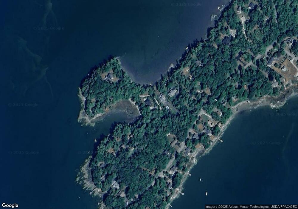
Map
Nearby Homes
- 58 Maquoit Dr
- 83 Central Ave
- 34 Newfield Rd
- 46 Blackstone Club Rd
- 26 Harvest Ridge Rd Unit 24
- 20 Harvest Ridge Rd Unit 23
- 15 Linwood Rd Unit 15
- 5 Holbrook St
- 11 Orchard Hill Rd
- 7 Shearwater Way
- 67 Farmview Ln
- 39 Hunter Rd
- 212 Main St
- Map 80 Lot 18-0 White Island
- 15 Tinkers Way
- 10 Durham Rd
- 31 Goose Ledge Rd
- 1450 Harpswell Neck Rd
- 1 Mallard Pond Rd
- 42 Durham Rd
- 8 Cunningham Rd
- 28 Cunningham Rd
- 362 Lower Flying Point Rd
- 23 Cunningham Rd
- 32 Cunningham Rd
- 360 Lower Flying Point Rd
- 24 Cunningham Rd
- 374 Lower Flying Point Rd
- 34 Cunningham Rd
- 369 L Flying Pnt Rd
- 352 Lower Flying Point Rd
- 25 Cunningham Rd
- 365 Lower Flying Point Rd
- 369 Lower Flying Point Rd
- 348 Lower Flying Point Rd
- 363 Lower Flying Point Rd
- 40 Cunningham Rd
- 359 Lower Flying Point Rd
- 361 Lower Flying Point Rd
- 373 Lower Flying Point Rd
Your Personal Tour Guide
Ask me questions while you tour the home.