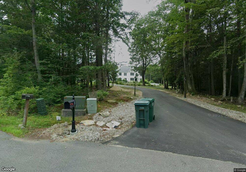
11 Daland Cir Mont Vernon, NH 03057
Estimated Value: $921,258 - $1,160,000
4
Beds
4
Baths
3,541
Sq Ft
$285/Sq Ft
Est. Value
About This Home
This home is located at 11 Daland Cir, Mont Vernon, NH 03057 and is currently estimated at $1,010,815, approximately $285 per square foot. 11 Daland Cir is a home with nearby schools including Mont Vernon Village School and Souhegan Cooperative High School.
Ownership History
Date
Name
Owned For
Owner Type
Purchase Details
Closed on
Aug 27, 2001
Sold by
Douglas Hill Companies
Bought by
Zumbo Frank M and Zumbo Kimberly A
Current Estimated Value
Create a Home Valuation Report for This Property
The Home Valuation Report is an in-depth analysis detailing your home's value as well as a comparison with similar homes in the area
Home Values in the Area
Average Home Value in this Area
Purchase History
| Date | Buyer | Sale Price | Title Company |
|---|---|---|---|
| Zumbo Frank M | $110,000 | -- |
Source: Public Records
Mortgage History
| Date | Status | Borrower | Loan Amount |
|---|---|---|---|
| Open | Zumbo Frank M | $25,000 | |
| Open | Zumbo Frank M | $430,000 | |
| Closed | Zumbo Frank M | $408,537 |
Source: Public Records
Tax History Compared to Growth
Tax History
| Year | Tax Paid | Tax Assessment Tax Assessment Total Assessment is a certain percentage of the fair market value that is determined by local assessors to be the total taxable value of land and additions on the property. | Land | Improvement |
|---|---|---|---|---|
| 2024 | $18,985 | $960,780 | $158,800 | $801,980 |
| 2023 | $16,447 | $566,360 | $100,300 | $466,060 |
| 2022 | $15,875 | $566,360 | $100,300 | $466,060 |
| 2021 | $16,107 | $566,360 | $100,300 | $466,060 |
| 2020 | $15,054 | $566,360 | $100,300 | $466,060 |
| 2019 | $14,623 | $566,360 | $100,300 | $466,060 |
| 2018 | $16,234 | $533,650 | $95,300 | $438,350 |
| 2016 | $15,716 | $533,650 | $95,300 | $438,350 |
| 2015 | $15,716 | $533,650 | $95,300 | $438,350 |
| 2014 | $14,112 | $570,170 | $105,260 | $464,910 |
| 2013 | $15,651 | $570,170 | $105,260 | $464,910 |
Source: Public Records
Map
Nearby Homes
- 79 Salisbury Rd
- 2 Wallace Ln
- 80 Salisbury Rd
- 31 Cross Rd
- 171 S Hill Rd
- 8 Francestown Turnpike
- 26 N Main St Unit 9
- 26 N Main St Unit 7
- 69 Purgatory Rd
- 990 Center Rd
- 157 Brook Rd
- 2-47 Old Amherst Rd
- 57 Richardson Rd
- 17 Kittredge Rd
- 4 Trow Rd
- 7 Southview Dr
- 263 Cochran Hill Rd
- 29 Kendall Hill Rd
- 38 Mason Rd
- 9 Burnham Dr