Estimated Value: $596,504 - $692,000
3
Beds
3
Baths
1,318
Sq Ft
$491/Sq Ft
Est. Value
About This Home
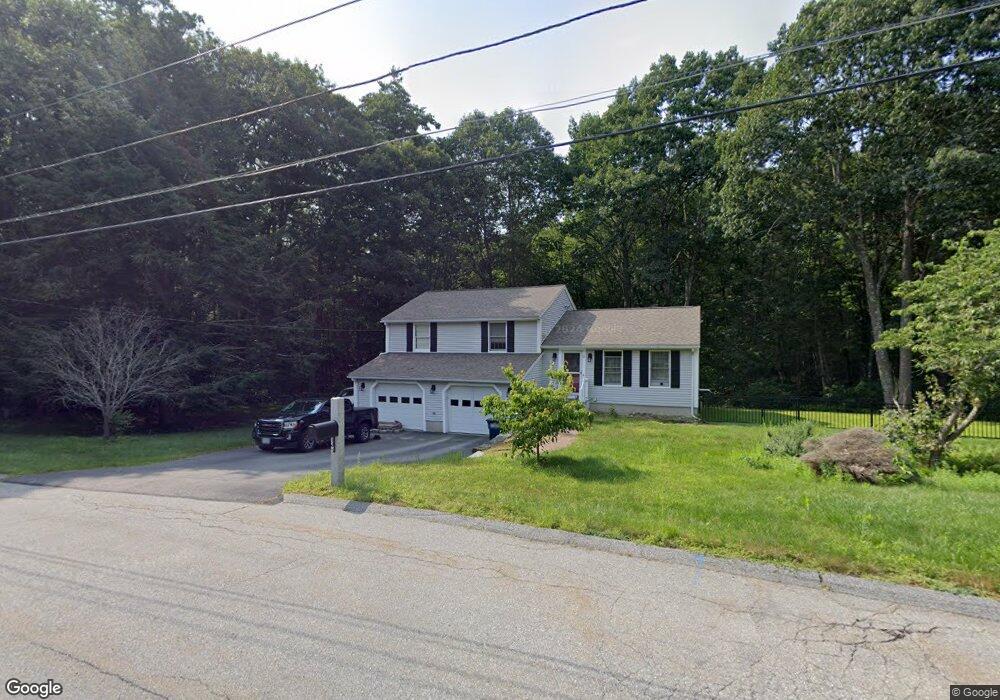
This home is located at 11 Delaney Way, Salem, NH 03079 and is currently estimated at $647,626, approximately $491 per square foot. 11 Delaney Way is a home located in Rockingham County with nearby schools including William E. Lancaster School, Woodbury School, and Salem High School.
Ownership History
Date
Name
Owned For
Owner Type
Purchase Details
Closed on
Jan 27, 2020
Sold by
Ronald Sorense Ret
Bought by
Foster Emily E and Lyons Connor J
Current Estimated Value
Home Financials for this Owner
Home Financials are based on the most recent Mortgage that was taken out on this home.
Original Mortgage
$362,000
Outstanding Balance
$321,314
Interest Rate
3.73%
Mortgage Type
New Conventional
Estimated Equity
$326,312
Purchase Details
Closed on
Jan 19, 1994
Bought by
Sorensen Ronald and Sorensen Patricia M
Create a Home Valuation Report for This Property
The Home Valuation Report is an in-depth analysis detailing your home's value as well as a comparison with similar homes in the area
Home Values in the Area
Average Home Value in this Area
Purchase History
| Date | Buyer | Sale Price | Title Company |
|---|---|---|---|
| Foster Emily E | $394,000 | None Available | |
| Sorensen Ronald | -- | -- |
Source: Public Records
Mortgage History
| Date | Status | Borrower | Loan Amount |
|---|---|---|---|
| Open | Foster Emily E | $362,000 | |
| Previous Owner | Sorensen Ronald | $138,000 | |
| Previous Owner | Sorensen Ronald | $74,000 | |
| Previous Owner | Sorensen Ronald | $103,500 |
Source: Public Records
Tax History Compared to Growth
Tax History
| Year | Tax Paid | Tax Assessment Tax Assessment Total Assessment is a certain percentage of the fair market value that is determined by local assessors to be the total taxable value of land and additions on the property. | Land | Improvement |
|---|---|---|---|---|
| 2024 | $8,390 | $476,700 | $181,600 | $295,100 |
| 2023 | $8,085 | $476,700 | $181,600 | $295,100 |
| 2022 | $7,651 | $476,700 | $181,600 | $295,100 |
| 2021 | $7,618 | $476,700 | $181,600 | $295,100 |
| 2020 | $7,051 | $320,200 | $129,800 | $190,400 |
| 2019 | $7,038 | $320,200 | $129,800 | $190,400 |
| 2018 | $6,954 | $321,800 | $129,800 | $192,000 |
| 2017 | $6,706 | $321,800 | $129,800 | $192,000 |
| 2016 | $6,574 | $321,800 | $129,800 | $192,000 |
| 2015 | $6,374 | $298,000 | $129,000 | $169,000 |
| 2014 | $6,195 | $298,000 | $129,000 | $169,000 |
| 2013 | $6,097 | $298,000 | $129,000 | $169,000 |
Source: Public Records
Map
Nearby Homes
- 51 Bluff St
- 8 Arcadia Ln
- 2 Millville Terrace
- 3 Roux Ave
- 81 N Main St
- 312 Shore Dr
- 27 Townsend Ave
- 55A Millville Cir
- 18 Hawkins Pond Ln
- 27 General Pulaski Dr
- 10 Brook Hollow Dr
- 4 Anderson Ave
- 22 Nolet Ave
- 1 Cottonwood Ln
- 18 Field Ave
- 187 N Main St
- 24 Marys Ln
- 8 Stoneybrook Ln
- 4 Therriault Ave
- 136 Shore Dr