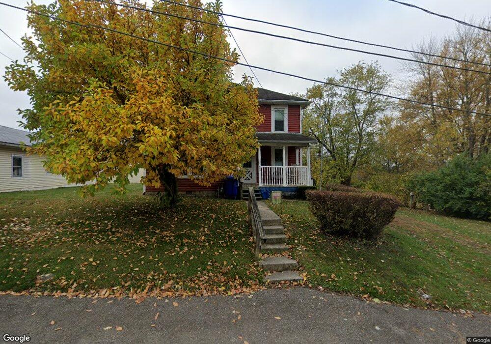
11 Delta St Delaware, OH 43015
Estimated Value: $193,956 - $221,000
3
Beds
1
Bath
1,244
Sq Ft
$167/Sq Ft
Est. Value
About This Home
This home is located at 11 Delta St, Delaware, OH 43015 and is currently estimated at $207,739, approximately $166 per square foot. 11 Delta St is a home located in Delaware County with nearby schools including James Conger Elementary School, John C. Dempsey Middle School, and Rutherford B. Hayes High School.
Ownership History
Date
Name
Owned For
Owner Type
Purchase Details
Closed on
Jun 7, 2024
Sold by
Mcmanus John
Bought by
Mcmanus John
Current Estimated Value
Purchase Details
Closed on
Mar 25, 2021
Sold by
Matlack Paul Clinton J and Estate Of Beverly J Matlack
Bought by
Mccmanus John M
Home Financials for this Owner
Home Financials are based on the most recent Mortgage that was taken out on this home.
Original Mortgage
$109,600
Interest Rate
2.9%
Mortgage Type
New Conventional
Purchase Details
Closed on
May 5, 2005
Sold by
Estate Of Karroll W Matlack
Bought by
Matlack Beverly Joan
Create a Home Valuation Report for This Property
The Home Valuation Report is an in-depth analysis detailing your home's value as well as a comparison with similar homes in the area
Home Values in the Area
Average Home Value in this Area
Purchase History
| Date | Buyer | Sale Price | Title Company |
|---|---|---|---|
| Mcmanus John | -- | None Listed On Document | |
| Mccmanus John M | $137,000 | Great American Title Agenncy | |
| Matlack Beverly Joan | -- | -- |
Source: Public Records
Mortgage History
| Date | Status | Borrower | Loan Amount |
|---|---|---|---|
| Previous Owner | Mccmanus John M | $109,600 |
Source: Public Records
Tax History
| Year | Tax Paid | Tax Assessment Tax Assessment Total Assessment is a certain percentage of the fair market value that is determined by local assessors to be the total taxable value of land and additions on the property. | Land | Improvement |
|---|---|---|---|---|
| 2024 | $2,066 | $43,720 | $5,360 | $38,360 |
| 2023 | $2,070 | $43,720 | $5,360 | $38,360 |
| 2022 | $1,768 | $32,410 | $3,430 | $28,980 |
| 2021 | $1,320 | $32,410 | $3,430 | $28,980 |
| 2020 | $1,335 | $32,410 | $3,430 | $28,980 |
| 2019 | $1,029 | $25,280 | $2,980 | $22,300 |
| 2018 | $1,044 | $25,280 | $2,980 | $22,300 |
| 2017 | $930 | $23,000 | $2,870 | $20,130 |
| 2016 | $821 | $23,000 | $2,870 | $20,130 |
| 2015 | $826 | $23,000 | $2,870 | $20,130 |
| 2014 | $839 | $23,000 | $2,870 | $20,130 |
| 2013 | $844 | $23,000 | $2,870 | $20,130 |
Source: Public Records
Map
Nearby Homes
- 34 Prospect St
- 35 Chamberlain St
- 69 Webb St
- 60 Oak St
- 323 Via Condotti Viaduct
- 0 Dildine Rd Unit 225015764
- 3035 Brian Way
- 3173 Brian Way
- 3058 Brian Way
- 66 Joy Ave
- 126 Wilder St
- 63 Allenhurst Way
- 71 Allenhurst Way
- 73 Allenhurst Way
- 54 Allenhurst Way
- 21 Baywood Dr
- 263 N Franklin St
- 297 N Franklin St
- 102 W Lincoln Ave
- 0 N Liberty St
Your Personal Tour Guide
Ask me questions while you tour the home.