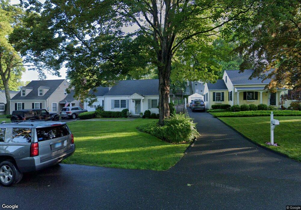
11 Devon Rd Darien, CT 06820
Estimated Value: $1,343,000 - $1,764,000
4
Beds
2
Baths
1,717
Sq Ft
$929/Sq Ft
Est. Value
About This Home
This home is located at 11 Devon Rd, Darien, CT 06820 and is currently estimated at $1,595,890, approximately $929 per square foot. 11 Devon Rd is a home located in Fairfield County with nearby schools including Holmes Elementary School, Middlesex Middle School, and Darien High School.
Ownership History
Date
Name
Owned For
Owner Type
Purchase Details
Closed on
Aug 15, 2023
Sold by
Mayhew Beatriz C
Bought by
Mayhew Cristina A and Veeder Gerrit M
Current Estimated Value
Purchase Details
Closed on
Jun 28, 2005
Sold by
Dineen David P and Dineen Ashley M
Bought by
Maykew Beatriz C and Mayhew Cristina A
Purchase Details
Closed on
Sep 29, 2000
Sold by
Rosati Rosemary
Bought by
Dineen David and Dineen Ashley
Create a Home Valuation Report for This Property
The Home Valuation Report is an in-depth analysis detailing your home's value as well as a comparison with similar homes in the area
Home Values in the Area
Average Home Value in this Area
Purchase History
| Date | Buyer | Sale Price | Title Company |
|---|---|---|---|
| Mayhew Cristina A | -- | None Available | |
| Maykew Beatriz C | $887,250 | -- | |
| Dineen David | $415,000 | -- |
Source: Public Records
Mortgage History
| Date | Status | Borrower | Loan Amount |
|---|---|---|---|
| Previous Owner | Dineen David | $725,000 | |
| Previous Owner | Dineen David | $716,000 |
Source: Public Records
Tax History
| Year | Tax Paid | Tax Assessment Tax Assessment Total Assessment is a certain percentage of the fair market value that is determined by local assessors to be the total taxable value of land and additions on the property. | Land | Improvement |
|---|---|---|---|---|
| 2025 | $13,788 | $890,680 | $749,070 | $141,610 |
| 2024 | $13,084 | $890,680 | $749,070 | $141,610 |
| 2023 | $11,365 | $645,400 | $499,380 | $146,020 |
| 2022 | $11,120 | $645,400 | $499,380 | $146,020 |
| 2021 | $21,343 | $645,400 | $499,380 | $146,020 |
| 2020 | $8,451 | $645,400 | $499,380 | $146,020 |
| 2019 | $10,630 | $645,400 | $499,380 | $146,020 |
| 2018 | $20,615 | $651,770 | $502,320 | $149,450 |
| 2017 | $10,533 | $651,770 | $502,320 | $149,450 |
| 2016 | $9,931 | $629,720 | $502,320 | $127,400 |
| 2015 | $9,666 | $629,720 | $502,320 | $127,400 |
| 2014 | $9,452 | $629,720 | $502,320 | $127,400 |
Source: Public Records
Map
Nearby Homes
- 17 Sunnyside Ave
- 3 Hickory Ln
- 22 Radio Place Unit 10
- 43 Phillips Ln
- 35 Maple Tree Ave Unit 1
- 15 Charles St
- 15 Waterbury Ln
- 167 Hollow Tree Ridge Rd
- 34 Crescent St Unit 2D
- 166 Hollow Tree Ridge Rd
- 455 Hope St Unit 4B
- 680 Hope St Unit 12
- 7 Barnstable Ln
- 8 Barnstable Ln
- 3 Revere Rd
- 223 Middlesex Rd
- 98 Scofield Ave
- 24 King St
- 12 Walmsley Rd
- 77 Maple St
Your Personal Tour Guide
Ask me questions while you tour the home.