11 Dodge Rd Plymouth, NH 03264
Estimated Value: $443,000 - $530,670
4
Beds
4
Baths
2,100
Sq Ft
$224/Sq Ft
Est. Value
About This Home
This home is located at 11 Dodge Rd, Plymouth, NH 03264 and is currently estimated at $470,418, approximately $224 per square foot. 11 Dodge Rd is a home located in Grafton County with nearby schools including Plymouth Elementary School, Plymouth Regional High School, and Mountain Village Charter School.
Ownership History
Date
Name
Owned For
Owner Type
Purchase Details
Closed on
Nov 28, 2019
Sold by
Behr Daniel and Behr Donna
Bought by
Behr Rt
Current Estimated Value
Purchase Details
Closed on
Aug 25, 2015
Sold by
Sullivan Deborah A
Bought by
Behr Daniel and Behr Donna
Home Financials for this Owner
Home Financials are based on the most recent Mortgage that was taken out on this home.
Original Mortgage
$132,000
Interest Rate
4.07%
Mortgage Type
New Conventional
Purchase Details
Closed on
Sep 21, 2010
Sold by
Fnma
Bought by
Sullivan Patrick G and Sullivan Deborah A
Home Financials for this Owner
Home Financials are based on the most recent Mortgage that was taken out on this home.
Original Mortgage
$75,600
Interest Rate
4.51%
Mortgage Type
Purchase Money Mortgage
Purchase Details
Closed on
Jan 28, 2010
Sold by
Oneill Karen A and Gmac Mortgage Llc
Bought by
Federal National Mortgage Association
Create a Home Valuation Report for This Property
The Home Valuation Report is an in-depth analysis detailing your home's value as well as a comparison with similar homes in the area
Home Values in the Area
Average Home Value in this Area
Purchase History
| Date | Buyer | Sale Price | Title Company |
|---|---|---|---|
| Behr Rt | -- | -- | |
| Behr Daniel | $176,000 | -- | |
| Sullivan Patrick G | $100,800 | -- | |
| Federal National Mortgage Association | $125,400 | -- |
Source: Public Records
Mortgage History
| Date | Status | Borrower | Loan Amount |
|---|---|---|---|
| Previous Owner | Federal National Mortgage Association | $132,000 | |
| Previous Owner | Federal National Mortgage Association | $75,600 |
Source: Public Records
Tax History Compared to Growth
Tax History
| Year | Tax Paid | Tax Assessment Tax Assessment Total Assessment is a certain percentage of the fair market value that is determined by local assessors to be the total taxable value of land and additions on the property. | Land | Improvement |
|---|---|---|---|---|
| 2024 | $10,171 | $404,900 | $0 | $404,900 |
| 2023 | $9,871 | $404,900 | $0 | $404,900 |
| 2022 | $6,310 | $200,700 | $0 | $200,700 |
| 2021 | $6,119 | $200,700 | $0 | $200,700 |
| 2020 | $5,718 | $200,700 | $0 | $200,700 |
| 2019 | $5,658 | $200,700 | $0 | $200,700 |
| 2018 | $5,078 | $200,700 | $0 | $200,700 |
| 2017 | $5,386 | $182,200 | $0 | $182,200 |
| 2016 | $4,586 | $182,200 | $0 | $182,200 |
| 2015 | $4,453 | $182,200 | $0 | $182,200 |
| 2014 | $4,360 | $182,200 | $0 | $182,200 |
| 2013 | $4,378 | $182,200 | $0 | $182,200 |
Source: Public Records
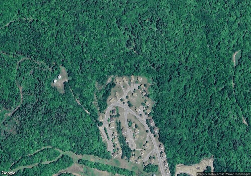
Map
Nearby Homes
- 76 Davis Rd Unit 3
- 154 Bell Rd
- 023 Yeaton Rd
- 171 Bell Rd
- 33 Winterberry Ln
- 27 New Hampshire 25
- 613 Mayhew Turnpike Unit 227-024 & 227-023
- 208 New Hebron Rd
- 11 Clay Brook Dr
- 193 New Hebron Rd
- 29 Reservoir Heights Rd
- 431 George Rd
- 12 Smith Bridge Rd
- 263 Highland St
- 9 Blueberry Hill Rd Unit 8
- 0 Binks Hill Rd
- 265 Loon Lake Rd
- 75 Pleasant St
- 12 Broadway St
- 10 Hawthorne St
- 61 Eagles Nest Rd Unit 61
- 28 Eagles Nest Rd
- 13 Rockys Point Rd
- 7 Slope Side Rd
- 42 Eagles Nest Rd
- 42 Eagles Nest Rd
- 44 Eagles Nest Rd
- 2 Ledgeview Way
- 5 Ledgeview Way
- 84 Eagles Nest Rd
- 71 Eagles Nest Rd
- 67 Eagles Nest Rd
- 7 Dodge Rd
- 77 Eagles Nest Rd Unit 16
- 11 Dodge Rd Unit 33
- 13 Dodge Rd
- 9 Dodge Rd Unit 9
- 14 Dodge Rd
- 42 Eagles Nest Rd Unit 41
- 5 Dodge Rd