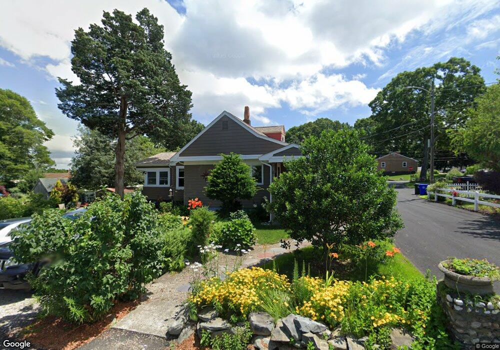
11 Dyer St Bristol, RI 02809
The Narrows NeighborhoodEstimated Value: $467,969 - $516,000
2
Beds
1
Bath
1,369
Sq Ft
$358/Sq Ft
Est. Value
About This Home
This home is located at 11 Dyer St, Bristol, RI 02809 and is currently estimated at $490,242, approximately $358 per square foot. 11 Dyer St is a home located in Bristol County with nearby schools including Mt. Hope High School, Highlander Charter Middle and High School, and Our Lady of Mt. Carmel School.
Ownership History
Date
Name
Owned For
Owner Type
Purchase Details
Closed on
Jun 5, 2018
Sold by
Bisbano 3Rd Joseph J
Bought by
Bisbano 3Rd Joseph J and Amato Jillian
Current Estimated Value
Purchase Details
Closed on
Mar 6, 2017
Sold by
Bisbano Theresa I and Bisbano Joseph J
Bought by
Bisbano 3Rd Joseph J
Home Financials for this Owner
Home Financials are based on the most recent Mortgage that was taken out on this home.
Original Mortgage
$160,500
Interest Rate
4.09%
Mortgage Type
Purchase Money Mortgage
Create a Home Valuation Report for This Property
The Home Valuation Report is an in-depth analysis detailing your home's value as well as a comparison with similar homes in the area
Home Values in the Area
Average Home Value in this Area
Purchase History
| Date | Buyer | Sale Price | Title Company |
|---|---|---|---|
| Bisbano 3Rd Joseph J | -- | -- | |
| Bisbano 3Rd Joseph J | $218,000 | -- |
Source: Public Records
Mortgage History
| Date | Status | Borrower | Loan Amount |
|---|---|---|---|
| Previous Owner | Bisbano 3Rd Joseph J | $160,500 |
Source: Public Records
Tax History Compared to Growth
Tax History
| Year | Tax Paid | Tax Assessment Tax Assessment Total Assessment is a certain percentage of the fair market value that is determined by local assessors to be the total taxable value of land and additions on the property. | Land | Improvement |
|---|---|---|---|---|
| 2025 | $4,646 | $336,200 | $144,900 | $191,300 |
| 2024 | $4,646 | $336,200 | $144,900 | $191,300 |
| 2023 | $4,492 | $336,200 | $144,900 | $191,300 |
| 2022 | $4,371 | $336,200 | $144,900 | $191,300 |
| 2021 | $4,126 | $286,900 | $133,400 | $153,500 |
| 2020 | $4,037 | $286,900 | $133,400 | $153,500 |
| 2019 | $3,936 | $286,900 | $133,400 | $153,500 |
| 2018 | $4,163 | $270,700 | $127,400 | $143,300 |
| 2017 | $3,396 | $227,600 | $110,400 | $117,200 |
| 2016 | $3,362 | $227,600 | $110,400 | $117,200 |
| 2015 | $3,193 | $227,600 | $110,400 | $117,200 |
| 2014 | $2,922 | $223,760 | $125,000 | $98,760 |
Source: Public Records
Map
Nearby Homes
- 70 Coggeshall Ave
- 65 Coggeshall Ave
- 147 Sunrise Dr
- 72 Coggeshall Ave
- 5 Dyer St
- 66 Coggeshall Ave
- 146 Sunrise Dr
- 3 Walnut St
- 2 Dyer St
- 145 Sunrise Dr
- 17 Platt St
- 151 Sunrise Dr
- 60 Lafayette Dr
- 60 Coggeshall Ave
- 11 Platt St
- 69 King Philip Ave
- 137 Sunrise Dr
- 142 Sunrise Dr
- 60 Cedar Dr
- 67 King Philip Ave