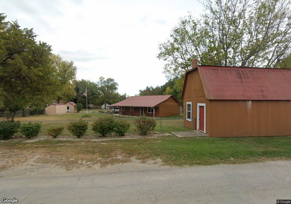
11 E 1st St Adrian, MO 64720
Estimated Value: $185,417 - $246,000
Studio
--
Bath
1,200
Sq Ft
$170/Sq Ft
Est. Value
About This Home
This home is located at 11 E 1st St, Adrian, MO 64720 and is currently estimated at $204,104, approximately $170 per square foot. 11 E 1st St is a home with nearby schools including Adrian R-III Elementary School and Adrian R-III Middle/High School.
Ownership History
Date
Name
Owned For
Owner Type
Purchase Details
Closed on
Aug 1, 2014
Sold by
Lowe Carolyn M and Lowe Todd J
Bought by
Lowe Carolyn M
Current Estimated Value
Home Financials for this Owner
Home Financials are based on the most recent Mortgage that was taken out on this home.
Original Mortgage
$76,000
Outstanding Balance
$23,375
Interest Rate
3.93%
Mortgage Type
New Conventional
Estimated Equity
$180,729
Purchase Details
Closed on
Apr 20, 2007
Sold by
Bell Bruce Anthony
Bought by
Coulson Carolyn M
Home Financials for this Owner
Home Financials are based on the most recent Mortgage that was taken out on this home.
Original Mortgage
$82,035
Interest Rate
6.13%
Mortgage Type
New Conventional
Create a Home Valuation Report for This Property
The Home Valuation Report is an in-depth analysis detailing your home's value as well as a comparison with similar homes in the area
Purchase History
| Date | Buyer | Sale Price | Title Company |
|---|---|---|---|
| Lowe Carolyn M | -- | None Available | |
| Coulson Carolyn M | -- | None Available |
Source: Public Records
Mortgage History
| Date | Status | Borrower | Loan Amount |
|---|---|---|---|
| Open | Lowe Carolyn M | $76,000 | |
| Closed | Coulson Carolyn M | $82,035 |
Source: Public Records
Tax History
| Year | Tax Paid | Tax Assessment Tax Assessment Total Assessment is a certain percentage of the fair market value that is determined by local assessors to be the total taxable value of land and additions on the property. | Land | Improvement |
|---|---|---|---|---|
| 2025 | $922 | $15,350 | $0 | $0 |
| 2024 | $922 | $13,570 | $0 | $0 |
| 2023 | $922 | $13,570 | $0 | $0 |
| 2022 | $877 | $12,830 | $0 | $0 |
| 2020 | $849 | $12,830 | $0 | $0 |
| 2019 | $847 | $12,830 | $0 | $0 |
| 2018 | $847 | $12,830 | $0 | $0 |
| 2017 | $834 | $12,830 | $0 | $0 |
| 2016 | $707 | $12,810 | $0 | $0 |
| 2015 | -- | $12,810 | $0 | $0 |
| 2013 | -- | $67,400 | $0 | $0 |
Source: Public Records
Map
Nearby Homes
- 13263A NE County Road 23 N A
- 35 W 3rd St
- 317 S Kentucky St
- 120 W 3rd St
- 304 N Mulberry St
- 542 N West Lexington St
- 124 W 5th St
- 233 W 5th St
- 13 Skyline Dr
- 19 Skyline Dr
- 604 N Kentucky St
- 30 E 7th St
- 32 E 7th St
- 321 E 7th St
- 104 E 8th St
- 0 NW County Road 1001
- 914 Edith Ave
- 1005 N Old Highway 71 N A
- 1011 N Old Highway 71 N A
- 422 NE Lakota Dr
- Rt 1 Rt 1 E
- 15 E 1st St
- Rt 1 E Hwy
- 116 S Virginia St
- 10 E 1st St
- 31 E 1st St
- 106 S Virginia St
- 106 S Virginia Ave
- 109 E Lexington St
- 108 N Virginia St
- 111 E 1st St
- 15 E 2nd St
- 110 E Richmond St
- 725-27 E Lexington Ave
- 12 W 1st St
- 110 E 1st St
- 109 E Richmond St
- 19 E 2nd St
- 120 E Richmond St
- 120 E Richmond St
Your Personal Tour Guide
Ask me questions while you tour the home.