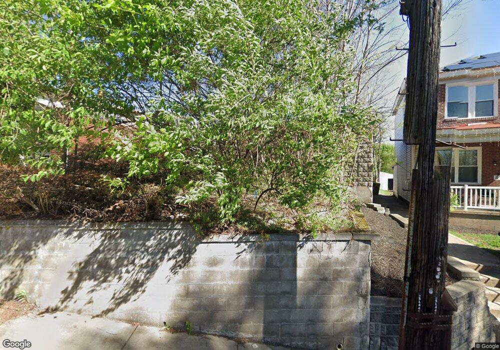
11 E Woodford Ave Pittsburgh, PA 15210
Carrick NeighborhoodEstimated Value: $138,000 - $152,000
3
Beds
1
Bath
1,232
Sq Ft
$119/Sq Ft
Est. Value
About This Home
This home is located at 11 E Woodford Ave, Pittsburgh, PA 15210 and is currently estimated at $146,238, approximately $118 per square foot. 11 E Woodford Ave is a home located in Allegheny County with nearby schools including Pittsburgh Concord K-5, Pittsburgh South Brook, and Pittsburgh Carrick High School.
Ownership History
Date
Name
Owned For
Owner Type
Purchase Details
Closed on
Feb 22, 2022
Sold by
Bakos Jane R and Bakos Robert J
Bought by
Englert Pamela and Solomon Logen
Current Estimated Value
Purchase Details
Closed on
Feb 18, 2022
Sold by
Bakos Jane R and Bakos Robert J
Bought by
Solomon Logen
Purchase Details
Closed on
Mar 18, 2021
Sold by
Abbott Samuel R and Abbott Rita
Bought by
Bakos Jane R and Bakos Robert J
Purchase Details
Closed on
Mar 10, 1961
Bought by
Abbott Samuel R and Abbott Rita
Create a Home Valuation Report for This Property
The Home Valuation Report is an in-depth analysis detailing your home's value as well as a comparison with similar homes in the area
Home Values in the Area
Average Home Value in this Area
Purchase History
| Date | Buyer | Sale Price | Title Company |
|---|---|---|---|
| Englert Pamela | $20,000 | -- | |
| Solomon Logen | $20,000 | -- | |
| Bakos Jane R | -- | -- | |
| Bakos Jane R | -- | None Available | |
| Abbott Samuel R | $11,500 | -- |
Source: Public Records
Tax History Compared to Growth
Tax History
| Year | Tax Paid | Tax Assessment Tax Assessment Total Assessment is a certain percentage of the fair market value that is determined by local assessors to be the total taxable value of land and additions on the property. | Land | Improvement |
|---|---|---|---|---|
| 2025 | $1,327 | $57,600 | $14,400 | $43,200 |
| 2024 | $1,327 | $57,600 | $14,400 | $43,200 |
| 2023 | $1,327 | $57,600 | $14,400 | $43,200 |
| 2022 | $1,310 | $57,600 | $14,400 | $43,200 |
| 2021 | $901 | $39,600 | $14,400 | $25,200 |
| 2020 | $896 | $39,600 | $14,400 | $25,200 |
| 2019 | $896 | $39,600 | $14,400 | $25,200 |
| 2018 | $435 | $39,600 | $14,400 | $25,200 |
| 2017 | $896 | $39,600 | $14,400 | $25,200 |
| 2016 | $187 | $39,600 | $14,400 | $25,200 |
| 2015 | $187 | $39,600 | $14,400 | $25,200 |
| 2014 | $876 | $39,600 | $14,400 | $25,200 |
Source: Public Records
Map
Nearby Homes
- 2020 Brownsville Rd
- 2000 Brownsville Rd
- 145 E Woodford Ave
- 309 Parkfield St
- 331 Redwood St
- 2404 Diehl Ave
- 206 Alries St
- 26 Carrick Ave
- 1641 Mount Joseph St
- 228 Alries St
- 12 E Meyers St
- 254 Alries St
- 2211 Lucina Ave
- 400 Ariston Ave
- 1611 Westmont Ave
- 373 Copperfield Ave
- 0 Brownsville Rd Unit 1689715
- 2082 Walton Ave
- 404 Ariston Ave
- 244-246 E Meyers St
- 23 E Woodford Ave
- 25 E Woodford Ave
- 2045 Brownsville Rd
- 2053 Brownsville Rd
- 2043 Brownsville Rd
- 2004 Hazeldell St
- 2055 Brownsville Rd
- 20 E Woodford Ave
- 14 E Woodford Ave
- 2037 Brownsville Rd
- 20 E Woodford Ave
- 2000 Hazeldell St
- 2055 Hazeldell St
- 10 E Woodford Ave
- 12 E Woodford Ave
- 102 Madeline St
- 2103 Brownsville Rd
- 105 E Woodford Ave
- 104 Madeline St
- 107 E Woodford Ave
