11 Eastridge Rd Newbury, NH 03255
Estimated Value: $1,143,000 - $1,219,000
4
Beds
3
Baths
4,822
Sq Ft
$246/Sq Ft
Est. Value
About This Home
This home is located at 11 Eastridge Rd, Newbury, NH 03255 and is currently estimated at $1,185,048, approximately $245 per square foot. 11 Eastridge Rd is a home located in Merrimack County with nearby schools including Kearsarge Regional Elementary School at Bradford, Kearsarge Regional Middle School, and Kearsarge Regional High School.
Ownership History
Date
Name
Owned For
Owner Type
Purchase Details
Closed on
Nov 5, 2008
Sold by
Jhj Rt
Bought by
Macvittie Ft
Current Estimated Value
Home Financials for this Owner
Home Financials are based on the most recent Mortgage that was taken out on this home.
Original Mortgage
$82,000
Interest Rate
6.08%
Mortgage Type
Purchase Money Mortgage
Create a Home Valuation Report for This Property
The Home Valuation Report is an in-depth analysis detailing your home's value as well as a comparison with similar homes in the area
Home Values in the Area
Average Home Value in this Area
Purchase History
| Date | Buyer | Sale Price | Title Company |
|---|---|---|---|
| Macvittie Ft | $132,000 | -- | |
| Macvittie Ft | $132,000 | -- |
Source: Public Records
Mortgage History
| Date | Status | Borrower | Loan Amount |
|---|---|---|---|
| Open | Macvittie Ft | $125,000 | |
| Closed | Macvittie Ft | $30,091 | |
| Closed | Macvittie Ft | $82,000 |
Source: Public Records
Tax History Compared to Growth
Tax History
| Year | Tax Paid | Tax Assessment Tax Assessment Total Assessment is a certain percentage of the fair market value that is determined by local assessors to be the total taxable value of land and additions on the property. | Land | Improvement |
|---|---|---|---|---|
| 2024 | $11,202 | $858,360 | $159,160 | $699,200 |
| 2023 | $11,202 | $858,360 | $159,160 | $699,200 |
| 2022 | $9,772 | $858,725 | $159,525 | $699,200 |
| 2021 | $9,772 | $858,688 | $159,488 | $699,200 |
| 2020 | $9,178 | $555,560 | $137,160 | $418,400 |
| 2019 | $8,824 | $555,640 | $137,240 | $418,400 |
| 2018 | $8,614 | $555,762 | $137,362 | $418,400 |
| 2017 | $8,732 | $555,812 | $137,412 | $418,400 |
| 2016 | $8,919 | $555,693 | $137,293 | $418,400 |
| 2015 | $8,593 | $527,795 | $115,195 | $412,600 |
| 2014 | $8,176 | $527,795 | $115,195 | $412,600 |
| 2013 | $7,881 | $527,874 | $115,274 | $412,600 |
Source: Public Records
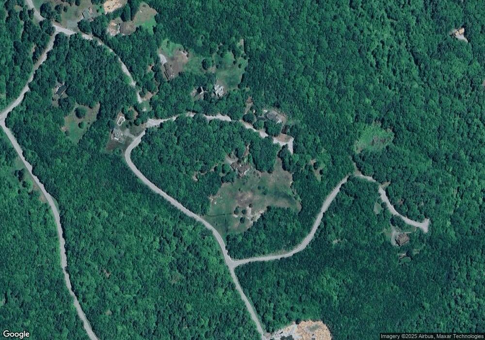
Map
Nearby Homes
- 0 Crest Dr Unit 4996159
- 318 Old Post Rd
- 263 Old Post Rd
- 6 Chapin Way Unit 6
- 12 Chapin Way Unit Lot 12
- 420 Sutton Rd
- 61 Brookside Rd
- 00 Brookside Rd Unit 530-317&525-332
- 108 Circle View Dr
- 36 Shore Dr
- 81 Gerald Dr
- 344 Chalk Pond Rd
- 25 Hilltop Dr
- Lower Crest Rd
- 200 South Rd
- 306 Mountain Rd
- 0 Lakewood Manor Rd Unit 467
- 0 Roby Unit 5036005
- 214 Winding Brook Rd
- 81 Lakewood Manor Rd
- Lot 40 Meadow Rd
- Lot 29 Eastridge Rd
- Lot 28 Eastridge Rd
- 28 Eastridge Rd
- Lots 28,29 Eastridge Rd
- 58 Woodbine Rd
- 54 Woodbine Rd
- 50 Woodbine Rd
- 40 Woodbine Rd Unit 33
- 40 Woodbine Rd
- 0 Woodbine Rd
- 10 Eastridge Rd
- 0 Woodbine Lot 34 Unit 4090460
- 0 Woodbine Lot 34 Unit 2772247
- Lot 46 Meadow
- Lot 44 Meadow
- 57 Meadow Rd
- 40 Meadow Rd
- Lot 49 Meadow Rd
- 41 Meadow Rd