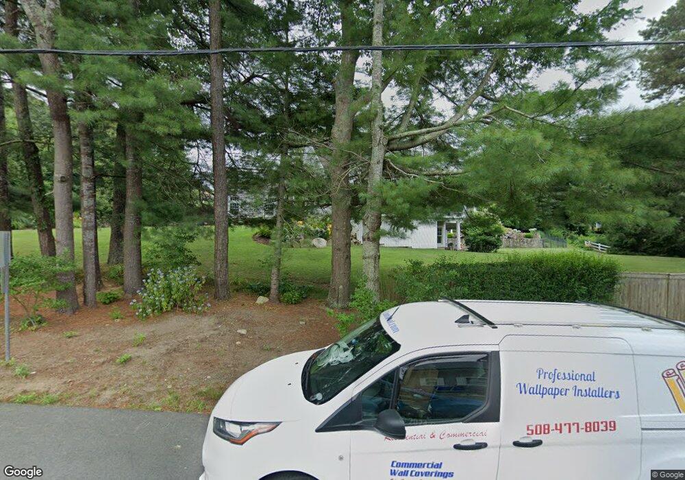
11 Elgin Rd Pocasset, MA 02559
Pocasset NeighborhoodEstimated Value: $1,909,000 - $2,507,756
4
Beds
6
Baths
4,471
Sq Ft
$489/Sq Ft
Est. Value
About This Home
This home is located at 11 Elgin Rd, Pocasset, MA 02559 and is currently estimated at $2,184,439, approximately $488 per square foot. 11 Elgin Rd is a home located in Barnstable County with nearby schools including Bourne High School, Cadence Academy Preschool - Bourne, and Heritage Christian Academy.
Ownership History
Date
Name
Owned For
Owner Type
Purchase Details
Closed on
Aug 10, 2021
Sold by
Roberts Alan H and Roberts Nancy D
Bought by
D Roberts 2007 T N
Current Estimated Value
Purchase Details
Closed on
Aug 23, 2004
Sold by
Good Builders Inc
Bought by
Roberts Alan H and Roberts Nancy D
Home Financials for this Owner
Home Financials are based on the most recent Mortgage that was taken out on this home.
Original Mortgage
$1,100,000
Interest Rate
6.03%
Mortgage Type
Purchase Money Mortgage
Create a Home Valuation Report for This Property
The Home Valuation Report is an in-depth analysis detailing your home's value as well as a comparison with similar homes in the area
Home Values in the Area
Average Home Value in this Area
Purchase History
| Date | Buyer | Sale Price | Title Company |
|---|---|---|---|
| D Roberts 2007 T N | -- | None Available | |
| D Roberts 2007 T N | -- | None Available | |
| Roberts Alan H | $1,590,000 | -- | |
| Good Bldrs Inc | $300,000 | -- | |
| Roberts Alan H | $1,590,000 | -- |
Source: Public Records
Mortgage History
| Date | Status | Borrower | Loan Amount |
|---|---|---|---|
| Previous Owner | Roberts Alan H | $700,000 | |
| Previous Owner | Roberts Alan H | $980,000 | |
| Previous Owner | Good Bldrs Inc | $1,100,000 | |
| Previous Owner | Roberts Alan H | $0 |
Source: Public Records
Tax History Compared to Growth
Tax History
| Year | Tax Paid | Tax Assessment Tax Assessment Total Assessment is a certain percentage of the fair market value that is determined by local assessors to be the total taxable value of land and additions on the property. | Land | Improvement |
|---|---|---|---|---|
| 2025 | $17,261 | $2,210,100 | $915,500 | $1,294,600 |
| 2024 | $16,879 | $2,104,600 | $871,900 | $1,232,700 |
| 2023 | $14,499 | $1,645,800 | $540,200 | $1,105,600 |
| 2022 | $14,779 | $1,464,700 | $478,000 | $986,700 |
| 2021 | $14,493 | $1,345,700 | $435,000 | $910,700 |
| 2020 | $14,018 | $1,305,200 | $430,900 | $874,300 |
| 2019 | $13,398 | $1,274,800 | $500,100 | $774,700 |
| 2018 | $12,893 | $1,223,200 | $476,400 | $746,800 |
| 2017 | $13,079 | $1,269,800 | $522,700 | $747,100 |
| 2016 | $11,915 | $1,172,700 | $522,700 | $650,000 |
| 2015 | $11,809 | $1,172,700 | $522,700 | $650,000 |
Source: Public Records
Map
Nearby Homes
- 22 Nairn Rd
- 48 Red Brook Harbor Rd
- 3 Red Brook Pond Dr
- 1094 County Rd
- 171 Bellavista Dr
- 940 County Rd
- 10 Squeteague Harbor Rd
- 75 Winsor Rd
- 1234 Route 28a
- 1234 Route 28a
- 34 Kenwood Rd
- 254 Barlows Landing Rd
- 45 Kenwood Rd
- 70 Wings Neck Rd
- 940 County Rd
- 250 Scraggy Neck Rd
- 709 County Rd
- 89 Harbor Dr
- 7 4th Ave
- 24 Richmond Rd