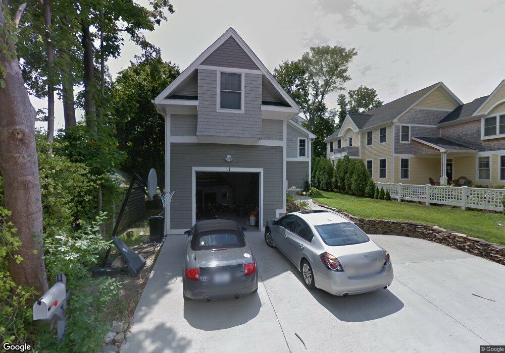
11 Elm St Jamestown, RI 02835
Jamestown Village NeighborhoodEstimated Value: $1,455,000 - $2,094,000
3
Beds
3
Baths
2,888
Sq Ft
$613/Sq Ft
Est. Value
About This Home
This home is located at 11 Elm St, Jamestown, RI 02835 and is currently estimated at $1,770,794, approximately $613 per square foot. 11 Elm St is a home located in Newport County with nearby schools including Melrose Avenue School and Lawn Avenue School.
Ownership History
Date
Name
Owned For
Owner Type
Purchase Details
Closed on
Aug 14, 2009
Sold by
Fernwood Building Co
Bought by
Delessio Michael and Delessio Alison
Current Estimated Value
Home Financials for this Owner
Home Financials are based on the most recent Mortgage that was taken out on this home.
Original Mortgage
$417,000
Interest Rate
5.36%
Mortgage Type
Purchase Money Mortgage
Create a Home Valuation Report for This Property
The Home Valuation Report is an in-depth analysis detailing your home's value as well as a comparison with similar homes in the area
Home Values in the Area
Average Home Value in this Area
Purchase History
| Date | Buyer | Sale Price | Title Company |
|---|---|---|---|
| Delessio Michael | $576,500 | -- |
Source: Public Records
Mortgage History
| Date | Status | Borrower | Loan Amount |
|---|---|---|---|
| Open | Delessio Michael | $408,000 | |
| Closed | Delessio Michael | $417,000 | |
| Closed | Delessio Michael | $417,000 |
Source: Public Records
Tax History Compared to Growth
Tax History
| Year | Tax Paid | Tax Assessment Tax Assessment Total Assessment is a certain percentage of the fair market value that is determined by local assessors to be the total taxable value of land and additions on the property. | Land | Improvement |
|---|---|---|---|---|
| 2025 | $7,415 | $1,314,700 | $433,400 | $881,300 |
| 2024 | $6,611 | $922,100 | $329,200 | $592,900 |
| 2023 | $6,538 | $936,700 | $329,200 | $607,500 |
| 2022 | $6,360 | $936,700 | $329,200 | $607,500 |
| 2021 | $6,260 | $756,000 | $261,600 | $494,400 |
| 2020 | $6,101 | $756,000 | $261,600 | $494,400 |
| 2019 | $6,086 | $756,000 | $261,600 | $494,400 |
| 2018 | $5,503 | $621,800 | $223,100 | $398,700 |
| 2017 | $5,385 | $621,800 | $223,100 | $398,700 |
| 2016 | $5,335 | $621,800 | $223,100 | $398,700 |
| 2015 | $4,625 | $526,800 | $192,700 | $334,100 |
| 2014 | $4,610 | $526,800 | $192,700 | $334,100 |
Source: Public Records
Map
Nearby Homes
- 46 North Rd
- 22 Cole St
- 20 Lincoln St
- 73 Conanicus Ave Unit 4
- 63 Longfellow Rd
- 0 Walcott Ave
- 104 Howland Ave
- 39 Walcott Ave
- 41 Walcott Ave
- 48 Ocean Ave
- 76 Battery Ln
- 10 Coulter St
- 27 Marcello Dr
- 21 Helm St
- 30 Bonnet View Dr
- 21 Bonnet View Dr
- 625 N Main Rd
- 121 Seaside Dr
- 94 Spindrift St
- 65 Ridge Rd Unit P37