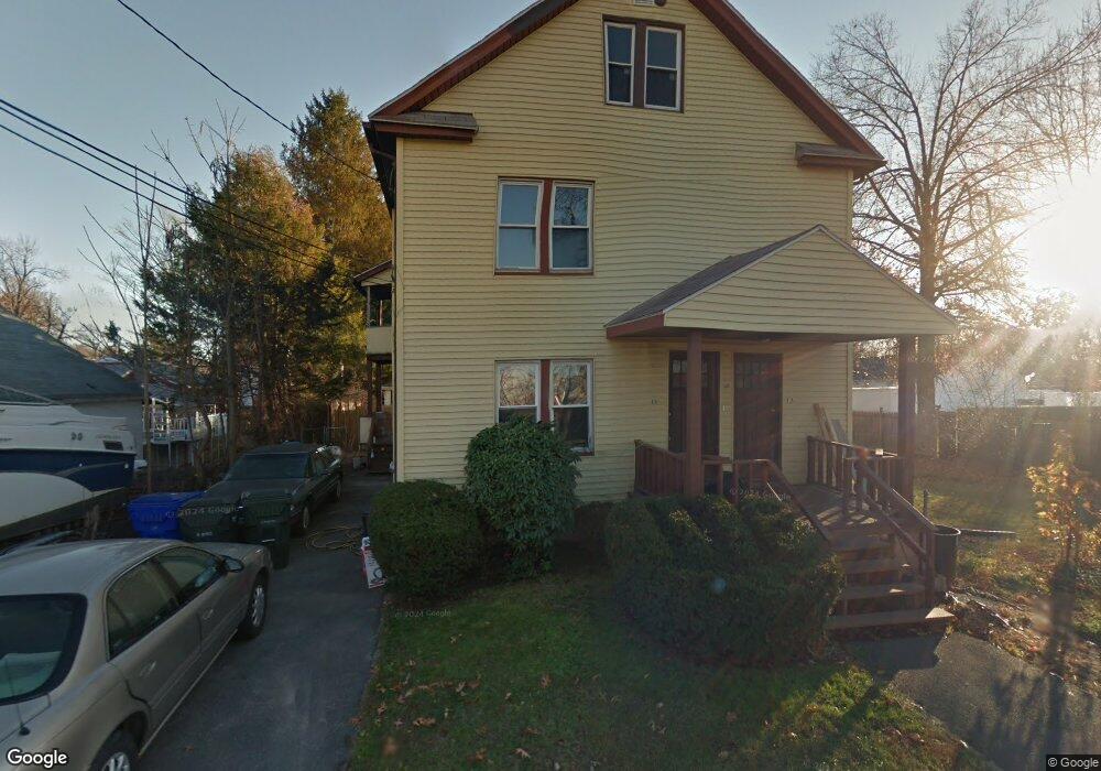
11 Etna Ct Unit 13 Springfield, MA 01119
Pine Point NeighborhoodEstimated Value: $285,435 - $378,000
5
Beds
3
Baths
2,044
Sq Ft
$167/Sq Ft
Est. Value
About This Home
This home is located at 11 Etna Ct Unit 13, Springfield, MA 01119 and is currently estimated at $341,859, approximately $167 per square foot. 11 Etna Ct Unit 13 is a home located in Hampden County with nearby schools including Thomas M Balliet Elementary School, John J Duggan Middle, and Springfield Central High School.
Ownership History
Date
Name
Owned For
Owner Type
Purchase Details
Closed on
Sep 19, 2017
Sold by
Rocca Roger H and Woodward Cynthia
Bought by
Headley Erica M
Current Estimated Value
Purchase Details
Closed on
Aug 10, 2017
Sold by
Rocca Paul Francis Est
Bought by
Rocca Roger H and Woodward Cynthia
Create a Home Valuation Report for This Property
The Home Valuation Report is an in-depth analysis detailing your home's value as well as a comparison with similar homes in the area
Home Values in the Area
Average Home Value in this Area
Purchase History
| Date | Buyer | Sale Price | Title Company |
|---|---|---|---|
| Headley Erica M | -- | -- | |
| Rocca Roger H | -- | -- |
Source: Public Records
Tax History
| Year | Tax Paid | Tax Assessment Tax Assessment Total Assessment is a certain percentage of the fair market value that is determined by local assessors to be the total taxable value of land and additions on the property. | Land | Improvement |
|---|---|---|---|---|
| 2025 | $2,951 | $188,200 | $39,100 | $149,100 |
| 2024 | $2,860 | $178,100 | $39,100 | $139,000 |
| 2023 | $2,861 | $167,800 | $34,600 | $133,200 |
| 2022 | $2,761 | $146,700 | $32,400 | $114,300 |
| 2021 | $2,587 | $136,900 | $29,400 | $107,500 |
| 2020 | $2,428 | $124,300 | $29,400 | $94,900 |
| 2019 | $2,401 | $122,000 | $30,500 | $91,500 |
| 2018 | $2,368 | $120,300 | $30,500 | $89,800 |
| 2017 | $2,465 | $125,400 | $33,500 | $91,900 |
| 2016 | $2,308 | $117,400 | $33,500 | $83,900 |
| 2015 | $2,187 | $111,200 | $33,500 | $77,700 |
Source: Public Records
Map
Nearby Homes
- 32 Glenwood St
- 12 Swift Ct
- 6 Etna Ct
- 44 Glenwood St
- 35 Glenwood St
- 56 Glenwood St
- 25 Glenwood St
- 827 Boston Rd Unit 827
- 11 Swift Ct Unit 15
- 21 Wilkes St
- 19 Glenwood St Unit 21
- 45 Glenwood St
- 29 Wilkes St
- 60 Glenwood St
- 49 Glenwood St
- 9 Glenwood St
- 43 Wilkes St
- 64 Glenwood St Unit 66
- 64 Glenwood St Unit 1
- 28 Methuen St
Your Personal Tour Guide
Ask me questions while you tour the home.