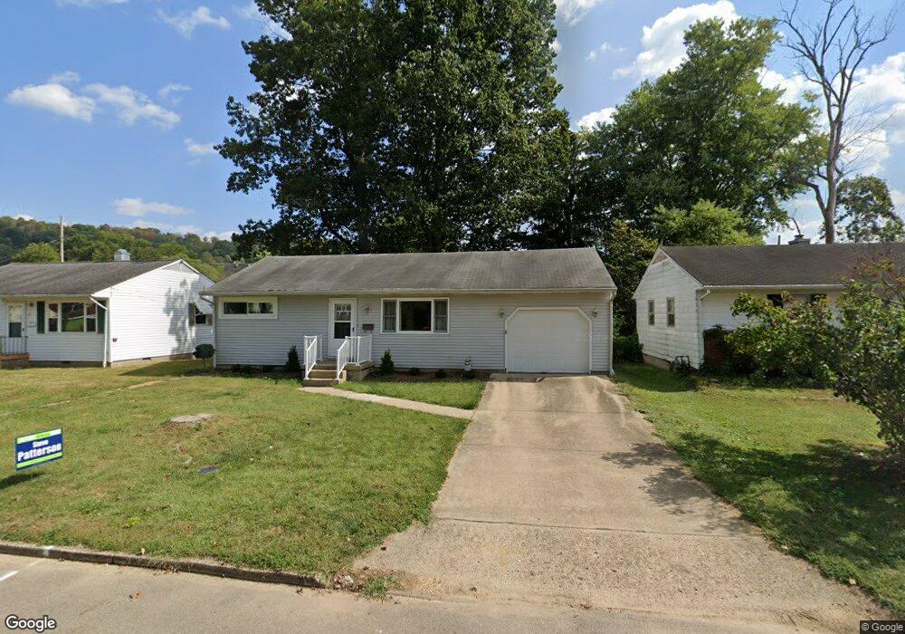
11 Euclid Dr Athens, OH 45701
Estimated Value: $170,000 - $195,000
2
Beds
1
Bath
800
Sq Ft
$231/Sq Ft
Est. Value
About This Home
This home is located at 11 Euclid Dr, Athens, OH 45701 and is currently estimated at $184,720, approximately $230 per square foot. 11 Euclid Dr is a home located in Athens County with nearby schools including East Elementary School, Athens Middle School, and Athens High School.
Ownership History
Date
Name
Owned For
Owner Type
Purchase Details
Closed on
Jun 13, 2008
Sold by
Parsons Vern S and Parsons Sue E
Bought by
Parsons Vern S and Parsons Sue E
Current Estimated Value
Purchase Details
Closed on
Feb 14, 1996
Sold by
Parsons Verona F
Bought by
Parsons Verona F
Purchase Details
Closed on
Jan 13, 1995
Sold by
Parsons Vern W and Parsons Verona F
Bought by
Parsons Verona F
Purchase Details
Closed on
May 1, 1989
Create a Home Valuation Report for This Property
The Home Valuation Report is an in-depth analysis detailing your home's value as well as a comparison with similar homes in the area
Home Values in the Area
Average Home Value in this Area
Purchase History
| Date | Buyer | Sale Price | Title Company |
|---|---|---|---|
| Parsons Vern S | -- | Attorney | |
| Parsons Verona F | -- | -- | |
| Parsons Verona F | -- | -- | |
| -- | $56,000 | -- |
Source: Public Records
Tax History Compared to Growth
Tax History
| Year | Tax Paid | Tax Assessment Tax Assessment Total Assessment is a certain percentage of the fair market value that is determined by local assessors to be the total taxable value of land and additions on the property. | Land | Improvement |
|---|---|---|---|---|
| 2024 | $2,864 | $52,480 | $11,400 | $41,080 |
| 2023 | $2,654 | $52,480 | $11,400 | $41,080 |
| 2022 | $2,356 | $44,530 | $11,400 | $33,130 |
| 2021 | $2,367 | $44,530 | $11,400 | $33,130 |
| 2020 | $2,280 | $44,530 | $11,400 | $33,130 |
| 2019 | $2,196 | $42,020 | $9,950 | $32,070 |
| 2018 | $2,168 | $42,020 | $9,950 | $32,070 |
| 2017 | $3,742 | $42,020 | $9,950 | $32,070 |
| 2016 | $1,914 | $38,340 | $9,950 | $28,390 |
| 2015 | $3,502 | $38,340 | $9,950 | $28,390 |
| 2014 | $3,502 | $38,340 | $9,950 | $28,390 |
| 2013 | $3,336 | $37,540 | $9,950 | $27,590 |
Source: Public Records
Map
Nearby Homes
- 14 Euclid Dr
- 15 Eden Place
- 37 Euclid Dr
- 15 Townsend Place
- 39 Eden Place
- 44 Strathmore Blvd
- 51 Eden Place
- 12 Mc Guffey Ln
- 12 McGuffey Ln
- 31 Patton St
- 273 E State St
- 1 Northwood Dr
- 0 Strouds Run Unit 2433166
- 30 Joneswood Dr
- 0 Rock Riffle Rd
- 8666, 8720 Rock Riffle Rd
- 0 Columbus Rd
- 2 & 2.5 Columbia
- 41 N Lancaster St
- 71 W Washington St