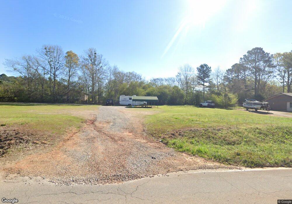
11 Fling Rd La Grange, GA 30240
--
Bed
--
Bath
--
Sq Ft
--
Built
About This Home
This home is located at 11 Fling Rd, La Grange, GA 30240. 11 Fling Rd is a home located in Troup County with nearby schools including Berta Weathersbee Elementary School, Whitesville Road Elementary School, and Long Cane Elementary School.
Ownership History
Date
Name
Owned For
Owner Type
Purchase Details
Closed on
Jul 19, 2002
Sold by
Mark E Roland
Bought by
Greathouse Rodney J and Greathouse Amanda S
Purchase Details
Closed on
Jul 17, 2002
Sold by
Carl E Roland
Bought by
Mark E Roland
Purchase Details
Closed on
Feb 24, 1999
Sold by
Jared T Jones Timber & Land
Bought by
Carl E Roland
Purchase Details
Closed on
Sep 3, 1998
Sold by
Voss William
Bought by
Jared T Jones Timber & Land
Purchase Details
Closed on
Oct 25, 1994
Sold by
Voss Sallie G
Bought by
Voss William
Purchase Details
Closed on
Jul 8, 1994
Bought by
Voss Sallie G
Purchase Details
Closed on
Oct 9, 1992
Purchase Details
Closed on
Dec 5, 1988
Sold by
Sallie M Voss
Purchase Details
Closed on
Dec 1, 1970
Sold by
Cecil Parker
Bought by
Sallie M Voss
Purchase Details
Closed on
Feb 1, 1956
Sold by
Roy E Chatham
Bought by
Cecil Parker
Create a Home Valuation Report for This Property
The Home Valuation Report is an in-depth analysis detailing your home's value as well as a comparison with similar homes in the area
Home Values in the Area
Average Home Value in this Area
Purchase History
| Date | Buyer | Sale Price | Title Company |
|---|---|---|---|
| Greathouse Rodney J | $128,000 | -- | |
| Mark E Roland | -- | -- | |
| Carl E Roland | $106,000 | -- | |
| Jared T Jones Timber & Land | $40,000 | -- | |
| Voss William | -- | -- | |
| Voss Sallie G | -- | -- | |
| -- | -- | -- | |
| -- | -- | -- | |
| Sallie M Voss | $15,500 | -- | |
| Cecil Parker | -- | -- |
Source: Public Records
Tax History Compared to Growth
Tax History
| Year | Tax Paid | Tax Assessment Tax Assessment Total Assessment is a certain percentage of the fair market value that is determined by local assessors to be the total taxable value of land and additions on the property. | Land | Improvement |
|---|---|---|---|---|
| 2024 | $1,554 | $56,988 | $56,800 | $188 |
| 2023 | $1,366 | $50,068 | $49,680 | $388 |
| 2022 | $1,397 | $50,068 | $49,680 | $388 |
| 2021 | $1,510 | $50,052 | $49,680 | $372 |
| 2020 | $1,510 | $50,052 | $49,680 | $372 |
| 2019 | $1,519 | $50,360 | $50,000 | $360 |
| 2018 | $1,518 | $50,328 | $50,000 | $328 |
| 2017 | $1,518 | $50,328 | $50,000 | $328 |
| 2016 | $1,519 | $50,349 | $50,000 | $349 |
| 2015 | $1,521 | $50,349 | $50,000 | $349 |
| 2014 | $1,524 | $50,349 | $50,000 | $349 |
| 2013 | -- | $50,349 | $50,000 | $349 |
Source: Public Records
Map
Nearby Homes
- 146 Whitaker Rd
- 117 Brookwood Dr
- 37 Overbrook Dr
- 223 Pinehaven Dr
- 509 Connie Dr
- 243 Oak Dr
- 104 Spring Valley Dr
- 200 Cheyenne Dr
- 141 Avery Dr
- 190 Hill Rd
- 0 Bradfield Dr Unit 10568803
- E Angela Dr
- LOT 4 Angela Dr
- 808 S Fling Rd
- 0 Unit 10514554
- 124 Foxdale Dr
- 208 Highland Trail
- 102 Foxdale Dr
- 100 Huntcliff Ct
- 0 Deming St Unit 10550189
- 2727 Roanoke Rd
- 31 Fling Rd
- 2725 Roanoke Rd
- 0 Whitaker Rd Unit 8658073
- 0 Whitaker Rd Unit 8562509
- 0 Whitaker Rd Unit 8512537
- 0 Whitaker Rd Unit 8430129
- 0 Whitaker Rd Unit 8158498
- 0 Whitaker Rd Unit 8059367
- 0 Whitaker Rd Unit 8505885
- 0 Whitaker Rd Unit 2887474
- 0 Whitaker Rd Unit 3137676
- 0 Whitaker Rd Unit 8394802
- 0 Whitaker Rd Unit 7551907
- 0 Whitaker Rd Unit 9023834
- 0 Whitaker Rd Unit 8826970
- 0 Whitaker Rd Unit 2713776
- 0 Whitaker Rd Unit 7101498
- 0 Whitaker Rd Unit 7122157
- 0 Whitaker Rd Unit 7286265