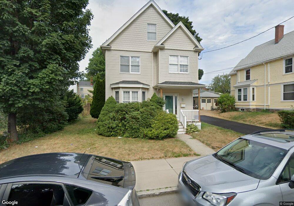
11 Foster St Unit 2R Brighton, MA 02135
Brighton NeighborhoodEstimated Value: $1,226,265 - $1,436,000
3
Beds
1
Bath
--
Sq Ft
5,924
Sq Ft Lot
About This Home
This home is located at 11 Foster St Unit 2R, Brighton, MA 02135 and is currently estimated at $1,342,566. 11 Foster St Unit 2R is a home located in Suffolk County with nearby schools including Boston Green Academy Horace Mann Charter School, St Columbkille Partnership School, and Shaloh House Jewish Day School.
Ownership History
Date
Name
Owned For
Owner Type
Purchase Details
Closed on
May 27, 2025
Sold by
Marcuse Alain M and Marcuse Diane G
Bought by
Levy Lior and Cohen Daniel W
Current Estimated Value
Home Financials for this Owner
Home Financials are based on the most recent Mortgage that was taken out on this home.
Original Mortgage
$940,000
Outstanding Balance
$937,496
Interest Rate
6.62%
Mortgage Type
Purchase Money Mortgage
Estimated Equity
$405,070
Create a Home Valuation Report for This Property
The Home Valuation Report is an in-depth analysis detailing your home's value as well as a comparison with similar homes in the area
Home Values in the Area
Average Home Value in this Area
Purchase History
| Date | Buyer | Sale Price | Title Company |
|---|---|---|---|
| Levy Lior | $1,410,000 | None Available | |
| Levy Lior | $1,410,000 | None Available |
Source: Public Records
Mortgage History
| Date | Status | Borrower | Loan Amount |
|---|---|---|---|
| Open | Levy Lior | $940,000 | |
| Closed | Levy Lior | $940,000 |
Source: Public Records
Tax History Compared to Growth
Tax History
| Year | Tax Paid | Tax Assessment Tax Assessment Total Assessment is a certain percentage of the fair market value that is determined by local assessors to be the total taxable value of land and additions on the property. | Land | Improvement |
|---|---|---|---|---|
| 2025 | $10,163 | $877,600 | $321,400 | $556,200 |
| 2024 | $9,133 | $837,900 | $310,000 | $527,900 |
| 2023 | $8,736 | $813,400 | $300,900 | $512,500 |
| 2022 | $8,046 | $739,500 | $273,600 | $465,900 |
| 2021 | $7,327 | $686,700 | $258,100 | $428,600 |
| 2020 | $6,880 | $651,500 | $227,600 | $423,900 |
| 2019 | $6,602 | $626,400 | $187,200 | $439,200 |
| 2018 | $6,194 | $591,000 | $187,200 | $403,800 |
| 2017 | $5,958 | $562,600 | $187,200 | $375,400 |
| 2016 | $5,894 | $535,800 | $187,200 | $348,600 |
| 2015 | $6,882 | $568,300 | $176,700 | $391,600 |
| 2014 | -- | $506,500 | $176,700 | $329,800 |
Source: Public Records
Map
Nearby Homes
- 461 Washington St Unit 301
- 30 Dighton St Unit 3
- 30 Dighton St
- 77 Bennett St Unit 2
- 6 Harriet St
- 10 Waldo Terrace
- 18 Rushmore St Unit 18
- 23 Winship St Unit 2
- 56 Winship St Unit 302
- 300 Faneuil St
- 12 Mina Way
- 10 Mina Way
- 8 Kenrick St Unit 10
- 33 Shannon St Unit 1
- 99 Chestnut Hill Ave Unit 212
- 12-14 Shannon St Unit 3
- 230 Washington St Unit 1
- 230 Washington St Unit 2
- 230 Washington St Unit 6
- 230 Washington St Unit 3
- 9 Foster St
- 23 Foster St
- 35 Oakland St
- 88 Surrey St
- 25 Foster St
- 31 Oakland St
- 5 Foster St
- 5 Foster St Unit 2R
- 5 Foster St Unit 1L
- 25 Oakland St
- 18 Foster St
- 18 Foster St
- 12 Foster St
- 12 Foster St
- 12 Foster St Unit 3
- 12 Foster St Unit 2R
- 12 Foster St Unit 12
- 29 Foster St
- 24 Foster St Unit 1
- 20 Foster St Unit 1