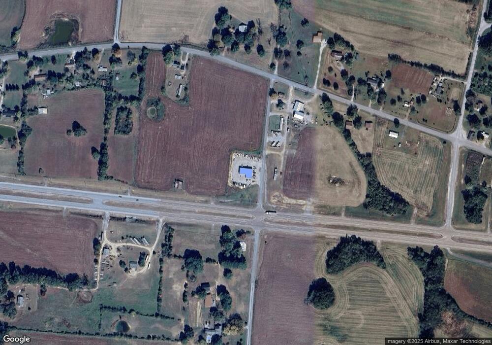
11 Gore Rd Lawrenceburg, TN 38464
Estimated Value: $158,000 - $224,000
--
Bed
1
Bath
1,100
Sq Ft
$174/Sq Ft
Est. Value
About This Home
This home is located at 11 Gore Rd, Lawrenceburg, TN 38464 and is currently estimated at $191,000, approximately $173 per square foot. 11 Gore Rd is a home located in Lawrence County with nearby schools including David Crockett Elementary School, Ingram Sowell Elementary School, and Lawrenceburg Public Elementary School.
Ownership History
Date
Name
Owned For
Owner Type
Purchase Details
Closed on
Jun 4, 2020
Sold by
Chapman Joseph and Chapman Jessica
Bought by
Heatherly Phillip
Current Estimated Value
Purchase Details
Closed on
Mar 11, 2008
Bought by
Chapman Bobby Joe
Purchase Details
Closed on
Jun 1, 2004
Bought by
Chapman Bobby Joe
Purchase Details
Closed on
Mar 14, 2000
Sold by
Joe Chapman Bobby
Bought by
Joe Chapman Bobby
Purchase Details
Closed on
Aug 3, 1999
Sold by
Joe Chapman Bobby
Bought by
Joseph Chapman
Home Financials for this Owner
Home Financials are based on the most recent Mortgage that was taken out on this home.
Original Mortgage
$50,000
Interest Rate
7.66%
Purchase Details
Closed on
May 20, 1983
Bought by
Chapman Bobby Joe and Chapman Shellia
Create a Home Valuation Report for This Property
The Home Valuation Report is an in-depth analysis detailing your home's value as well as a comparison with similar homes in the area
Home Values in the Area
Average Home Value in this Area
Purchase History
| Date | Buyer | Sale Price | Title Company |
|---|---|---|---|
| Heatherly Phillip | $30,000 | None Available | |
| Chapman Bobby Joe | -- | -- | |
| Chapman Bobby Joe | $2,900 | -- | |
| Joe Chapman Bobby | -- | -- | |
| Joseph Chapman | $3,800 | -- | |
| Chapman Bobby Joe | -- | -- |
Source: Public Records
Mortgage History
| Date | Status | Borrower | Loan Amount |
|---|---|---|---|
| Previous Owner | Chapman Bobby Joe | $50,000 |
Source: Public Records
Tax History Compared to Growth
Tax History
| Year | Tax Paid | Tax Assessment Tax Assessment Total Assessment is a certain percentage of the fair market value that is determined by local assessors to be the total taxable value of land and additions on the property. | Land | Improvement |
|---|---|---|---|---|
| 2025 | $620 | $30,825 | $0 | $0 |
| 2024 | $620 | $30,825 | $10,275 | $20,550 |
| 2023 | $620 | $30,825 | $10,275 | $20,550 |
| 2022 | $620 | $30,825 | $10,275 | $20,550 |
| 2021 | $466 | $15,750 | $5,375 | $10,375 |
| 2020 | $470 | $15,750 | $5,375 | $10,375 |
| 2019 | $470 | $15,875 | $5,500 | $10,375 |
| 2018 | $470 | $15,875 | $5,500 | $10,375 |
| 2017 | $470 | $15,875 | $5,500 | $10,375 |
| 2016 | $470 | $15,875 | $5,500 | $10,375 |
| 2015 | $435 | $15,875 | $5,500 | $10,375 |
| 2014 | $444 | $16,200 | $5,500 | $10,700 |
Source: Public Records
Map
Nearby Homes
- 0 Lawrenceburg Hwy Unit RTC3030824
- 0 Cove Ln Unit RTC2971413
- 0 Cove Ln Unit RTC2970083
- 158 Big Springs Rd
- 326 Sunnybrook Creek Rd
- 511 E Big Springs Rd
- 48 Mount Lebanon Rd
- 28 Ok Rd
- 2010 W Gaines St
- 24 Griffin Rd
- 840 Tennessee 240
- 104 E Laurel Dr
- 594 U S 64
- 0 Grandaddy Rd
- 1814 Grandaddy Rd
- 136 Genson Rd
- 307 Stribling Rd
- 1800 Grandaddy Rd
- 1708 Deer Hollow Dr
- 704 Ethridge Red Hill Rd
- 12 Gore Rd
- 4 Gore Rd
- 3869 Waynesboro Hwy
- 3875 Waynesboro Hwy
- 17 Gore Rd
- 3885 Waynesboro Hwy
- 3855 Waynesboro Hwy
- 3878 Waynesboro Hwy Unit 3870
- 3907 Waynesboro Hwy
- 3860 Waynesboro Hwy
- 3825 Waynesboro Hwy
- 19 Gore Rd
- 0 Waynesboro Hwy Unit 1885742
- 0 Waynesboro Hwy Unit 1677104
- 3909 Waynesboro Hwy
- 15 Gore Rd
- 3915 Waynesboro Hwy
- 1246 Ethridge Red Hill Rd
- 1249 Ethridge Red Hill Rd
- 3935 Waynesboro Hwy
