11 Government Rd Savannah, GA 31406
Isle of Hope NeighborhoodEstimated Value: $609,000 - $696,000
3
Beds
2
Baths
1,100
Sq Ft
$601/Sq Ft
Est. Value
About This Home
This home is located at 11 Government Rd, Savannah, GA 31406 and is currently estimated at $660,643, approximately $600 per square foot. 11 Government Rd is a home located in Chatham County with nearby schools including Isle Of Hope School, Johnson High School, and Oglethorpe Charter School.
Ownership History
Date
Name
Owned For
Owner Type
Purchase Details
Closed on
Nov 15, 2023
Sold by
Creighton Jones Cynthia
Bought by
Ioh 11 Llc
Current Estimated Value
Home Financials for this Owner
Home Financials are based on the most recent Mortgage that was taken out on this home.
Original Mortgage
$472,500
Outstanding Balance
$463,537
Interest Rate
7.31%
Mortgage Type
New Conventional
Estimated Equity
$197,106
Purchase Details
Closed on
Oct 23, 2023
Sold by
Devegter Laurie
Bought by
Barnes Alan and Creighton Jones Cynthia
Home Financials for this Owner
Home Financials are based on the most recent Mortgage that was taken out on this home.
Original Mortgage
$472,500
Outstanding Balance
$463,537
Interest Rate
7.31%
Mortgage Type
New Conventional
Estimated Equity
$197,106
Purchase Details
Closed on
Dec 15, 2015
Sold by
Luten William Estate
Bought by
Devegter Laurie
Create a Home Valuation Report for This Property
The Home Valuation Report is an in-depth analysis detailing your home's value as well as a comparison with similar homes in the area
Home Values in the Area
Average Home Value in this Area
Purchase History
| Date | Buyer | Sale Price | Title Company |
|---|---|---|---|
| Ioh 11 Llc | -- | -- | |
| Barnes Alan | $630,000 | -- | |
| Devegter Laurie | $45,000 | -- |
Source: Public Records
Mortgage History
| Date | Status | Borrower | Loan Amount |
|---|---|---|---|
| Open | Barnes Alan | $472,500 |
Source: Public Records
Tax History Compared to Growth
Tax History
| Year | Tax Paid | Tax Assessment Tax Assessment Total Assessment is a certain percentage of the fair market value that is determined by local assessors to be the total taxable value of land and additions on the property. | Land | Improvement |
|---|---|---|---|---|
| 2025 | $5,963 | $248,120 | $36,000 | $212,120 |
| 2024 | $5,963 | $179,720 | $21,720 | $158,000 |
| 2023 | $6,355 | $186,000 | $21,720 | $164,280 |
| 2022 | $5,049 | $165,000 | $18,120 | $146,880 |
| 2021 | $3,959 | $141,720 | $18,120 | $123,600 |
| 2020 | $661 | $82,280 | $18,120 | $64,160 |
| 2019 | $661 | $18,120 | $18,120 | $0 |
| 2018 | $663 | $18,120 | $18,120 | $0 |
| 2017 | $622 | $18,120 | $18,120 | $0 |
| 2016 | $386 | $11,600 | $11,600 | $0 |
| 2015 | $1,119 | $11,760 | $11,760 | $0 |
| 2014 | $578 | $11,760 | $0 | $0 |
Source: Public Records
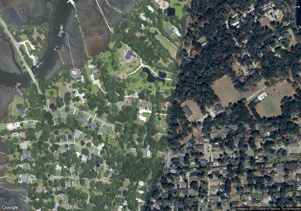
Map
Nearby Homes
- 5 Jameswood Ave
- 31 Jameswood Ave
- 4 Hopecrest Ave
- 6 Egrets Nest Dr
- 13 Saint Thomas Ave
- 18 Egrets Nest Dr
- 3 Brighton Way
- 9 Mulberry Ct
- 20 Lansing Ave Unit C
- 23 Arline Dr
- 0 Skinner Place
- 0 Skinner Place Unit 10588694
- 19 Arline Dr
- 1 Bakers Crossing
- 7 Bakers Crossing
- 113 Gilliam Ave
- 109 Canter Ct
- 59 Romney Place
- 21 Noble Glen Dr
- 117 Fox Chase Rd
- 11 Government Rd
- 15 Government Rd
- 17 Government Rd
- 41 Grimball Point Rd
- 43 Grimball Point Rd
- 3 Waite Dr
- 25 Raleigh Dr
- 21 Raleigh Dr
- 37 Grimball Point Rd
- 35 Grimball Point Rd
- 19 Raleigh Dr
- 17 Raleigh Dr
- 33 Grimball Point Rd
- 34 Waite Dr
- 24 Waite Dr
- 12 Raleigh Dr
- 15 Raleigh Dr
- 10 Raleigh Dr
- 25 Waite Dr
- 5 Waite Dr