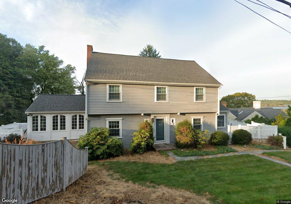
11 Governor Long Rd Hingham, MA 02043
Crow Point NeighborhoodEstimated Value: $1,127,000 - $1,459,000
3
Beds
2
Baths
2,214
Sq Ft
$606/Sq Ft
Est. Value
About This Home
This home is located at 11 Governor Long Rd, Hingham, MA 02043 and is currently estimated at $1,342,440, approximately $606 per square foot. 11 Governor Long Rd is a home located in Plymouth County with nearby schools including William L. Foster Elementary School, Derby Academy, and St. Paul Elementary School.
Ownership History
Date
Name
Owned For
Owner Type
Purchase Details
Closed on
Feb 21, 1987
Sold by
Lewvine Harry J
Bought by
Hanlon Harry J
Current Estimated Value
Home Financials for this Owner
Home Financials are based on the most recent Mortgage that was taken out on this home.
Original Mortgage
$80,000
Interest Rate
9.24%
Mortgage Type
Purchase Money Mortgage
Create a Home Valuation Report for This Property
The Home Valuation Report is an in-depth analysis detailing your home's value as well as a comparison with similar homes in the area
Home Values in the Area
Average Home Value in this Area
Purchase History
| Date | Buyer | Sale Price | Title Company |
|---|---|---|---|
| Hanlon Harry J | $290,000 | -- |
Source: Public Records
Mortgage History
| Date | Status | Borrower | Loan Amount |
|---|---|---|---|
| Closed | Hanlon Harry J | $100,000 | |
| Closed | Hanlon Harry J | $20,000 | |
| Closed | Hanlon Harry J | $80,000 |
Source: Public Records
Tax History Compared to Growth
Tax History
| Year | Tax Paid | Tax Assessment Tax Assessment Total Assessment is a certain percentage of the fair market value that is determined by local assessors to be the total taxable value of land and additions on the property. | Land | Improvement |
|---|---|---|---|---|
| 2025 | $12,659 | $1,184,200 | $705,600 | $478,600 |
| 2024 | $12,395 | $1,142,400 | $705,600 | $436,800 |
| 2023 | $11,029 | $1,102,900 | $705,600 | $397,300 |
| 2022 | $9,994 | $864,500 | $588,000 | $276,500 |
| 2021 | $10,006 | $848,000 | $588,000 | $260,000 |
| 2020 | $9,777 | $848,000 | $588,000 | $260,000 |
| 2019 | $9,820 | $831,500 | $588,000 | $243,500 |
| 2018 | $9,787 | $831,500 | $588,000 | $243,500 |
| 2017 | $8,482 | $692,400 | $481,900 | $210,500 |
| 2016 | $8,362 | $669,500 | $459,000 | $210,500 |
| 2015 | $8,116 | $647,700 | $437,200 | $210,500 |
Source: Public Records
Map
Nearby Homes
- 34 Otis Hill Rd
- 6 Whiton Ave
- 12 Daley Rd
- 17 Paige St
- 53 Bel Air Rd - To Be Built
- 53 Bel Air Rd
- 13 Ship St
- 15 Bayberry Rd
- 16 Foley Beach Rd
- 246 North St
- 191 South St
- 81 Kimball Beach Rd
- 21 Hersey St
- 93 Kimball Beach Rd
- 125 Halsted Dr Unit 125
- 102 Central St
- 10R Martins Ln
- 1 Rockland St
- 8 Evergreen Ln
- 15 Lewis Ct
- 192 Otis St
- 196 Otis St
- 186 Otis St
- 14 Governor Long Rd
- 1 Governor Andrew Rd
- 20 Governor Long Rd
- 48 Otis Hill Rd
- 47 Otis Hill Rd
- 200 Otis St
- 6 Governor Long Rd
- 3 Governor Andrew Rd
- 17 Talbot Rd
- 22 Governor Long Rd
- 22 Governor Long Rd Unit 1
- 22 Governor Long Rd Unit 22
- 21 Talbot Rd
- 15 Talbot Rd
- 178 Otis St
- 23 Talbot Rd
- 199 Otis St