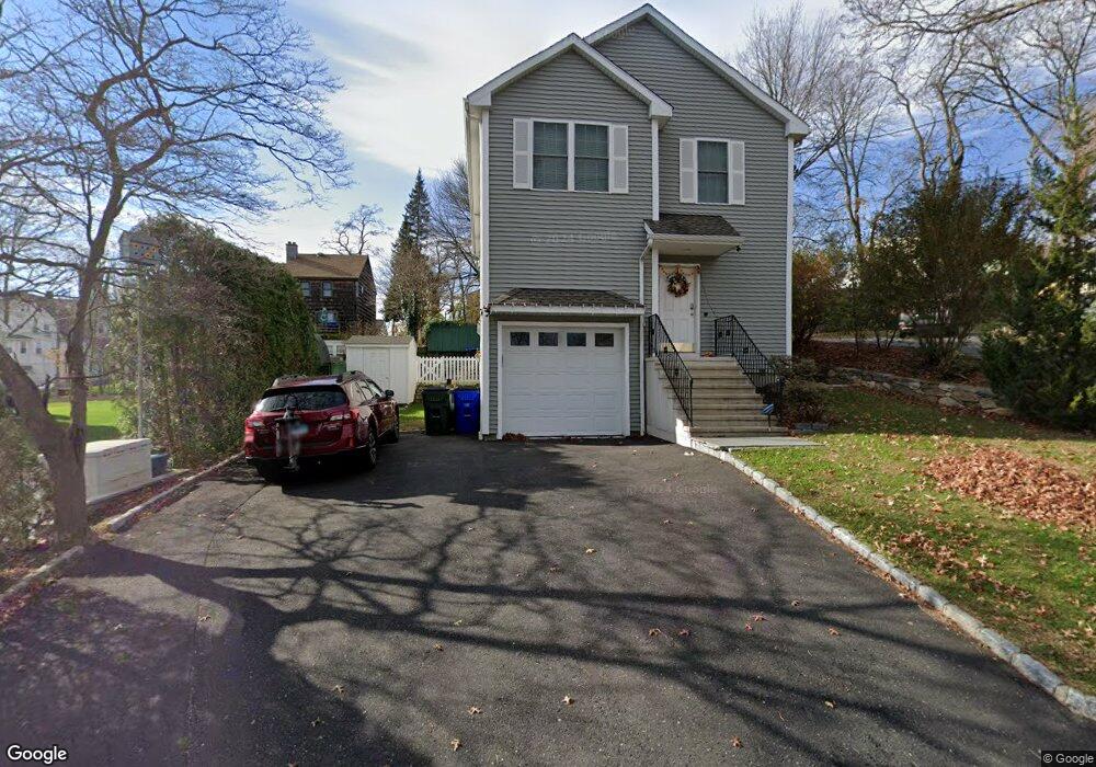
11 Grace St Fairfield, CT 06825
Tunxis Hill NeighborhoodEstimated Value: $799,000 - $942,702
3
Beds
3
Baths
2,200
Sq Ft
$387/Sq Ft
Est. Value
About This Home
This home is located at 11 Grace St, Fairfield, CT 06825 and is currently estimated at $850,926, approximately $386 per square foot. 11 Grace St is a home located in Fairfield County with nearby schools including Mckinley Elementary School, Tomlinson Middle School, and Fairfield Warde High School.
Ownership History
Date
Name
Owned For
Owner Type
Purchase Details
Closed on
Jan 21, 2011
Sold by
Carrie Const Co Inc
Bought by
Dixit Harshal S and Shah Kosha K
Current Estimated Value
Home Financials for this Owner
Home Financials are based on the most recent Mortgage that was taken out on this home.
Original Mortgage
$361,250
Interest Rate
4.62%
Purchase Details
Closed on
Jan 22, 2010
Sold by
Est Somley Helen T and Weyant Henrietta E
Bought by
Carrie Constr
Create a Home Valuation Report for This Property
The Home Valuation Report is an in-depth analysis detailing your home's value as well as a comparison with similar homes in the area
Home Values in the Area
Average Home Value in this Area
Purchase History
| Date | Buyer | Sale Price | Title Company |
|---|---|---|---|
| Dixit Harshal S | $425,000 | -- | |
| Carrie Constr | $110,000 | -- | |
| Dixit Harshal S | $425,000 | -- | |
| Carrie Constr | $110,000 | -- |
Source: Public Records
Mortgage History
| Date | Status | Borrower | Loan Amount |
|---|---|---|---|
| Open | Carrie Constr | $352,000 | |
| Closed | Carrie Constr | $361,250 |
Source: Public Records
Tax History
| Year | Tax Paid | Tax Assessment Tax Assessment Total Assessment is a certain percentage of the fair market value that is determined by local assessors to be the total taxable value of land and additions on the property. | Land | Improvement |
|---|---|---|---|---|
| 2025 | $10,723 | $377,720 | $167,580 | $210,140 |
| 2024 | $10,538 | $377,720 | $167,580 | $210,140 |
| 2023 | $10,391 | $377,720 | $167,580 | $210,140 |
| 2022 | $9,645 | $354,060 | $167,580 | $186,480 |
| 2021 | $9,553 | $354,060 | $167,580 | $186,480 |
| 2020 | $7,850 | $293,020 | $139,650 | $153,370 |
| 2019 | $7,850 | $293,020 | $139,650 | $153,370 |
| 2018 | $7,724 | $293,020 | $139,650 | $153,370 |
| 2017 | $7,566 | $293,020 | $139,650 | $153,370 |
| 2016 | $7,457 | $293,020 | $139,650 | $153,370 |
| 2015 | $7,293 | $294,210 | $140,700 | $153,510 |
| 2014 | $7,179 | $294,210 | $140,700 | $153,510 |
Source: Public Records
Map
Nearby Homes
- 198 Castle Ave
- 45 Sterling St
- 47 Sterling St
- 51 Sterling St
- 53 Sterling St
- 37 Biro St
- 145 Brentwood Ave
- 187 Halley Ave
- 156 Halley Ave
- 130 Brentwood Ave
- 118 Berwick Ave
- 57 Hibiscus St Unit 1
- 206 Sterling St
- 1 Overlook Ave
- 652 Black Rock Turnpike
- 65 Benton St
- 240 Sunnyridge Ave Unit 63
- 143 Sawyer Rd
- 1335 Black Rock Turnpike
- 12 Reynolds Dr
Your Personal Tour Guide
Ask me questions while you tour the home.