11 Griffin Rd Unit A Moriarty, NM 87035
Estimated Value: $187,944 - $295,000
5
Beds
5
Baths
1,300
Sq Ft
$175/Sq Ft
Est. Value
About This Home
This home is located at 11 Griffin Rd Unit A, Moriarty, NM 87035 and is currently estimated at $227,986, approximately $175 per square foot. 11 Griffin Rd Unit A is a home located in Torrance County with nearby schools including Route 66 Elementary School, Moriarty Middle School, and Moriarty High School.
Ownership History
Date
Name
Owned For
Owner Type
Purchase Details
Closed on
Feb 8, 2022
Sold by
Ricky Siglar
Bought by
Meda Peter E and Meda Philip
Current Estimated Value
Purchase Details
Closed on
Mar 22, 2011
Sold by
Young Rich
Bought by
Meda Peter E
Home Financials for this Owner
Home Financials are based on the most recent Mortgage that was taken out on this home.
Original Mortgage
$45,000
Interest Rate
5%
Mortgage Type
Seller Take Back
Create a Home Valuation Report for This Property
The Home Valuation Report is an in-depth analysis detailing your home's value as well as a comparison with similar homes in the area
Home Values in the Area
Average Home Value in this Area
Purchase History
| Date | Buyer | Sale Price | Title Company |
|---|---|---|---|
| Meda Peter E | -- | First American Title | |
| Meda Peter E | $46,000 | None Available |
Source: Public Records
Mortgage History
| Date | Status | Borrower | Loan Amount |
|---|---|---|---|
| Previous Owner | Meda Peter E | $45,000 |
Source: Public Records
Tax History Compared to Growth
Tax History
| Year | Tax Paid | Tax Assessment Tax Assessment Total Assessment is a certain percentage of the fair market value that is determined by local assessors to be the total taxable value of land and additions on the property. | Land | Improvement |
|---|---|---|---|---|
| 2024 | $868 | $35,450 | $7,425 | $28,025 |
| 2023 | $843 | $34,417 | $7,209 | $27,208 |
| 2022 | $869 | $33,415 | $6,999 | $26,416 |
| 2021 | $823 | $42,140 | $8,826 | $33,314 |
| 2020 | $796 | $11,916 | $0 | $11,916 |
| 2019 | $798 | $41,267 | $17,652 | $23,615 |
| 2018 | $497 | $20,494 | $8,818 | $11,676 |
| 2017 | $0 | $22,559 | $0 | $0 |
| 2016 | $0 | $0 | $0 | $0 |
| 2015 | -- | $0 | $0 | $0 |
| 2014 | -- | $24,859 | $8,069 | $16,790 |
Source: Public Records
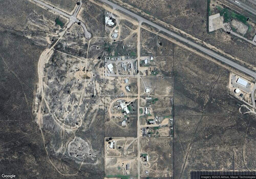
Map
Nearby Homes
- 0 W Impala Ct
- 0 E Impala Court (Lot 5)
- 0 E Impala Court (Lot 2)
- 0 E Impala Court (Lot 4)
- 110 N Corvin Ct
- xx Lexco Rd
- 0 Bushnell Unit 1077402
- 31 Wilson Loop
- 315 Thompson Rd
- 371 Thompson Rd
- 0 Thompson Rd Unit 1075790
- 4 Nettle Rd
- 0 Destiny Dr Unit 1086455
- 0 Destiny Dr Unit 1056687
- 300 Thompson Rd
- 30 Camino de Fe
- 26 Capitan St
- 26 Manzano St
- 43 Sandia St
- 45 Sandia St
- 11 Griffin Rd
- 19 Griffin Rd
- 12 Griffin Rd
- 18 Griffin Rd
- 10 Griffin Rd
- 8 Griffin Rd
- 20 Griffin Rd
- 0 Lexco Estates Phase 1 Lot C-3
- 22 Griffin Rd
- 24 Griffin Rd
- 0 Lexco Estates Phase 1 Lot C-4
- 29A Griffin Rd
- 3614 Us Rt 66 Loop
- 0 Lexco Estates Phase 1 Lot C-2
- 29 Griffin Rd
- 0 Lexco Estates Phase 1 Lot C-5
- 32 Griffin Rd
- 0 Lexco Estates Phase 1 Lot C-1
- 35 Griffin Rd
- 0 Lexco Estates Phase 1 Lot C-15