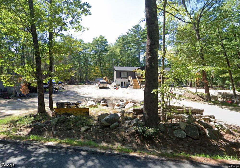
11 Hanson Mill Rd Moultonborough, NH 03254
Estimated Value: $384,893 - $726,000
3
Beds
1
Bath
1,693
Sq Ft
$309/Sq Ft
Est. Value
About This Home
This home is located at 11 Hanson Mill Rd, Moultonborough, NH 03254 and is currently estimated at $523,223, approximately $309 per square foot. 11 Hanson Mill Rd is a home located in Carroll County with nearby schools including Moultonborough Central School and Moultonborough Academy High School.
Ownership History
Date
Name
Owned For
Owner Type
Purchase Details
Closed on
Dec 15, 1998
Sold by
Thompson Marian L
Bought by
Demond James L and Demond Marion K
Current Estimated Value
Home Financials for this Owner
Home Financials are based on the most recent Mortgage that was taken out on this home.
Original Mortgage
$82,888
Interest Rate
6.8%
Mortgage Type
Purchase Money Mortgage
Create a Home Valuation Report for This Property
The Home Valuation Report is an in-depth analysis detailing your home's value as well as a comparison with similar homes in the area
Home Values in the Area
Average Home Value in this Area
Purchase History
| Date | Buyer | Sale Price | Title Company |
|---|---|---|---|
| Demond James L | $86,000 | -- |
Source: Public Records
Mortgage History
| Date | Status | Borrower | Loan Amount |
|---|---|---|---|
| Open | Demond James L | $74,919 | |
| Closed | Demond James L | $82,888 |
Source: Public Records
Tax History Compared to Growth
Tax History
| Year | Tax Paid | Tax Assessment Tax Assessment Total Assessment is a certain percentage of the fair market value that is determined by local assessors to be the total taxable value of land and additions on the property. | Land | Improvement |
|---|---|---|---|---|
| 2024 | $1,501 | $265,600 | $106,400 | $159,200 |
| 2023 | $1,362 | $238,900 | $81,100 | $157,800 |
| 2022 | $1,028 | $215,000 | $73,000 | $142,000 |
| 2021 | $1,294 | $185,400 | $59,800 | $125,600 |
| 2020 | $1,253 | $175,700 | $59,800 | $115,900 |
| 2019 | $1,366 | $191,100 | $59,800 | $131,300 |
| 2018 | $1,424 | $184,500 | $55,500 | $129,000 |
| 2017 | $1,407 | $171,200 | $55,500 | $115,700 |
| 2016 | $1,437 | $164,400 | $55,500 | $108,900 |
| 2015 | $1,347 | $149,500 | $55,500 | $94,000 |
| 2014 | $1,314 | $148,300 | $55,500 | $92,800 |
| 2013 | $1,289 | $148,300 | $55,500 | $92,800 |
Source: Public Records
Map
Nearby Homes
- 29 Kona Farm Rd
- 122 Toltec Point Rd
- 46 Toltec Point Rd
- 4 Orton Ln
- 11 Geery Ln
- 21 Orton Ln
- 203 Krainewood Dr
- 2 Little Badger Island
- 65.1 Gansy Island
- 5 Ferry Rd
- 4 Schneider Rd
- 18 Falcon Way
- 145 Hanson Dr
- 62 Boathouse Rd
- 00 Grande St Unit 44
- 28 Moose Walk
- 0 Moose Walk
- 11 Jennifer's Path
- 00 Sundorf St Unit 117
- 0 Sundorf St Unit 901 5009559
- 5 Hanson Mill Rd
- 21 Hanson Mill Rd
- 3 Hanson Mill Rd
- 14 Hanson Mill Rd
- 10 Hanson Mill Rd
- 25 Hanson Mill Rd
- 31 Hanson Mill Rd
- 79 Shaker Jerry Rd
- 34 Hanson Mill Rd
- 95 Shaker Jerry Rd
- 35 Private Rd
- 36 Hanson Mill Rd
- 116 Shaker Jerry Rd
- 59 Hanson Mill Rd
- 112 Shaker Jerry Rd
- 50 Hanson Mill Rd Unit 52
- 61 Shaker Jerry Rd
- 82 Hanson Mill Rd Unit 82
- 82 Hanson Mill Rd
- 114 Shaker Jerry Rd