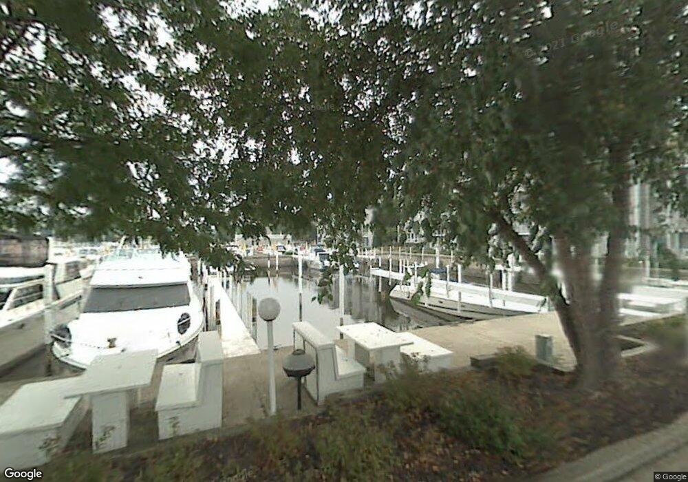
11 Harbor Isle Dr New Buffalo, MI 49117
Estimated Value: $233,000 - $344,000
--
Bed
--
Bath
--
Sq Ft
--
Built
About This Home
This home is located at 11 Harbor Isle Dr, New Buffalo, MI 49117 and is currently estimated at $288,500. 11 Harbor Isle Dr is a home located in Berrien County with nearby schools including New Buffalo Elementary School, New Buffalo Middle School, and New Buffalo Senior High School.
Ownership History
Date
Name
Owned For
Owner Type
Purchase Details
Closed on
Jun 12, 2020
Sold by
Burnham Thomas and Burnham Stephanie
Bought by
Ohare George and Ohare Cara
Current Estimated Value
Home Financials for this Owner
Home Financials are based on the most recent Mortgage that was taken out on this home.
Original Mortgage
$431,250
Outstanding Balance
$380,823
Interest Rate
3%
Mortgage Type
Adjustable Rate Mortgage/ARM
Estimated Equity
-$92,323
Purchase Details
Closed on
Jun 30, 2012
Sold by
Mackowiak Chris and Mackowiak Lori
Bought by
Burnham Thomas Craig and Burnham Stephanie
Home Financials for this Owner
Home Financials are based on the most recent Mortgage that was taken out on this home.
Original Mortgage
$358,000
Interest Rate
3.64%
Mortgage Type
New Conventional
Purchase Details
Closed on
Jun 4, 2002
Purchase Details
Closed on
Sep 28, 1999
Purchase Details
Closed on
Apr 29, 1996
Purchase Details
Closed on
Jul 13, 1993
Purchase Details
Closed on
Nov 20, 1987
Create a Home Valuation Report for This Property
The Home Valuation Report is an in-depth analysis detailing your home's value as well as a comparison with similar homes in the area
Home Values in the Area
Average Home Value in this Area
Purchase History
| Date | Buyer | Sale Price | Title Company |
|---|---|---|---|
| Ohare George | -- | None Available | |
| Burnham Thomas Craig | -- | Multiple | |
| -- | -- | -- | |
| -- | -- | -- | |
| -- | $190,000 | -- | |
| -- | -- | -- | |
| -- | -- | -- |
Source: Public Records
Mortgage History
| Date | Status | Borrower | Loan Amount |
|---|---|---|---|
| Open | Ohare George | $431,250 | |
| Previous Owner | Burnham Thomas Craig | $358,000 |
Source: Public Records
Tax History Compared to Growth
Tax History
| Year | Tax Paid | Tax Assessment Tax Assessment Total Assessment is a certain percentage of the fair market value that is determined by local assessors to be the total taxable value of land and additions on the property. | Land | Improvement |
|---|---|---|---|---|
| 2025 | $394 | $8,600 | $0 | $0 |
| 2024 | $260 | $8,600 | $0 | $0 |
| 2023 | $262 | $85,800 | $0 | $0 |
| 2022 | $616 | $20,200 | $0 | $0 |
| 2021 | $936 | $20,200 | $0 | $20,200 |
| 2020 | $435 | $20,200 | $0 | $0 |
| 2019 | $432 | $20,200 | $0 | $20,200 |
| 2018 | $690 | $20,200 | $0 | $0 |
| 2017 | $698 | $20,200 | $0 | $0 |
| 2016 | $685 | $20,200 | $0 | $0 |
| 2015 | $683 | $14,300 | $0 | $0 |
| 2014 | $458 | $14,300 | $0 | $0 |
Source: Public Records
Map
Nearby Homes
- 116 N Smith St
- Lot 9 & 10 N Whittaker St
- 409 Lake Dr Unit 10
- Lots 7 & 8 N Whittaker
- 340 N Berrien St
- 90 Harbor Landing
- 22 S Smith St
- 19175 U S 12
- Lots 3 & 4 N Thompson St
- 221 N Townsend St
- Lots 5 & 6 N Thompson
- 133 N Eagle St
- 121 S Barker St
- 210 E Water St
- 118 S Harrison St
- 408 Beach Ct
- 10 Pond Path
- 425 S Barker St
- 121 E Michigan St
- 300 E Buffalo St
- 13 Harbor Isle Dr
- 13 Harbor Isle Dr
- 13 Harbor Isle Dr
- 15 Harbor Isle Dr
- 15 Harbor Isle Dr
- 15 Harbor Isle Dr
- 11 Harbor Isle Dr
- 11 Harbor Isle Dr
- 9 Harbor Isle Dr
- 9 Harbor Isle Dr
- 9 Harbor Isle Dr
- 17 Harbor Isle Dr
- 17 Harbor Isle Dr
- 17 Harbor Isle Dr
- 7 Harbor Isle Dr
- 7 Harbor Isle Dr
- 7 Harbor Isle Dr
- 19 Harbor Isle Dr
- 19 Harbor Isle Dr
- 19 Harbor Isle Dr