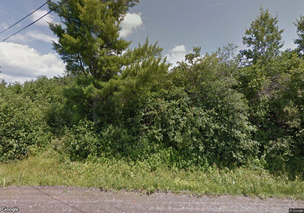
11 Harvey Swell Rd Colebrook, NH 03576
Estimated Value: $290,000 - $698,000
6
Beds
4
Baths
4,536
Sq Ft
$113/Sq Ft
Est. Value
About This Home
This home is located at 11 Harvey Swell Rd, Colebrook, NH 03576 and is currently estimated at $510,452, approximately $112 per square foot. 11 Harvey Swell Rd is a home located in Coos County with nearby schools including Colebrook Elementary School and Colebrook Academy.
Ownership History
Date
Name
Owned For
Owner Type
Purchase Details
Closed on
Oct 22, 2013
Sold by
Santamaria David P
Bought by
Keazer Jennifer L
Current Estimated Value
Create a Home Valuation Report for This Property
The Home Valuation Report is an in-depth analysis detailing your home's value as well as a comparison with similar homes in the area
Home Values in the Area
Average Home Value in this Area
Purchase History
| Date | Buyer | Sale Price | Title Company |
|---|---|---|---|
| Keazer Jennifer L | -- | -- |
Source: Public Records
Tax History Compared to Growth
Tax History
| Year | Tax Paid | Tax Assessment Tax Assessment Total Assessment is a certain percentage of the fair market value that is determined by local assessors to be the total taxable value of land and additions on the property. | Land | Improvement |
|---|---|---|---|---|
| 2024 | $7,452 | $213,103 | $37,503 | $175,600 |
| 2023 | $6,747 | $213,105 | $37,505 | $175,600 |
| 2022 | $6,136 | $216,681 | $41,081 | $175,600 |
| 2021 | $6,393 | $218,041 | $42,441 | $175,600 |
| 2020 | $6,057 | $218,050 | $42,450 | $175,600 |
| 2019 | $6,567 | $217,954 | $42,554 | $175,400 |
| 2018 | $7,435 | $246,767 | $44,467 | $202,300 |
| 2017 | $7,281 | $246,898 | $44,598 | $202,300 |
| 2016 | $7,039 | $246,898 | $44,598 | $202,300 |
| 2015 | $7,133 | $246,898 | $44,598 | $202,300 |
| 2014 | $7,119 | $245,910 | $43,610 | $202,300 |
| 2013 | $5,740 | $248,819 | $76,819 | $172,000 |
Source: Public Records
Map
Nearby Homes
- 797 Golf Links Rd
- 00 Diamond Pond Rd Unit 5A
- Lot 3 Holden Hill Rd
- Lot 2 Holden Hill Rd
- Lot 8 Holden Hill Rd
- 6 Jennings Rd
- 0 King's Hwy Unit 25
- 32 King's Hwy
- 7 Diamond Pond Rd
- 0 Diamond Pond Rd Unit 5058047
- 0 Washburn Rd Unit 13
- 0 Washburn Rd Unit 14
- 0 Washburn Rd Unit 22.4
- 0 Washburn Rd Unit 12
- 0 Washburn Rd Unit 4
- 19 Cooke Rd
- 15 Forbes Hill Rd
- 21 Bungy Rd
- 18 Lynch Dr
- - Harrys Way
- 38 Harvey Swell Rd
- 96 Harvey Swell Rd
- 97 Harvey Swell Rd
- 535 Bear Rock Rd
- 235-14 Bear Rock Rd
- 0 Bear Rock Rd Unit 4049720
- 0 Bear Rock Rd Unit 4054856
- 0 Bear Rock Rd Unit 4054789
- 0 Bear Rock Rd Unit 4025510
- 0 Bear Rock Rd Unit 14 4880804
- 0 Bear Rock Rd
- 543 Bear Rock Rd
- 98 Harvey Swell Rd
- 29 Windswept Ln
- 119 Harvey Swell Rd
- 55 Windswept Ln
- 72 Hurlbert Place
- 71 Windswept Ln
- 334 Bear Rock Rd
- 63 Hurlbert Place
