11 Hawk Ln Dunbarton, NH 03046
Estimated Value: $578,783 - $678,000
3
Beds
2
Baths
2,322
Sq Ft
$279/Sq Ft
Est. Value
About This Home
This home is located at 11 Hawk Ln, Dunbarton, NH 03046 and is currently estimated at $647,946, approximately $279 per square foot. 11 Hawk Ln is a home located in Merrimack County with nearby schools including Dunbarton Elementary School, Bow Memorial School, and Bow High School.
Ownership History
Date
Name
Owned For
Owner Type
Purchase Details
Closed on
Jan 31, 2006
Sold by
Mcgrath George R and Mcgrath Arlene P
Bought by
Cooper Richard L and Cooper Deborah B
Current Estimated Value
Home Financials for this Owner
Home Financials are based on the most recent Mortgage that was taken out on this home.
Original Mortgage
$259,600
Interest Rate
6.34%
Create a Home Valuation Report for This Property
The Home Valuation Report is an in-depth analysis detailing your home's value as well as a comparison with similar homes in the area
Home Values in the Area
Average Home Value in this Area
Purchase History
| Date | Buyer | Sale Price | Title Company |
|---|---|---|---|
| Cooper Richard L | $325,000 | -- | |
| Cooper Richard L | $325,000 | -- |
Source: Public Records
Mortgage History
| Date | Status | Borrower | Loan Amount |
|---|---|---|---|
| Open | Cooper Richard L | $245,722 | |
| Closed | Cooper Richard L | $259,600 |
Source: Public Records
Tax History
| Year | Tax Paid | Tax Assessment Tax Assessment Total Assessment is a certain percentage of the fair market value that is determined by local assessors to be the total taxable value of land and additions on the property. | Land | Improvement |
|---|---|---|---|---|
| 2024 | $8,312 | $315,100 | $80,600 | $234,500 |
| 2023 | $8,057 | $315,100 | $80,600 | $234,500 |
| 2022 | $7,241 | $315,100 | $80,600 | $234,500 |
| 2021 | $7,376 | $315,100 | $80,600 | $234,500 |
| 2020 | $7,020 | $315,100 | $80,600 | $234,500 |
| 2018 | $5,698 | $252,900 | $79,600 | $173,300 |
| 2017 | $6,477 | $252,900 | $79,600 | $173,300 |
| 2016 | $6,065 | $252,900 | $79,600 | $173,300 |
| 2015 | $5,966 | $252,900 | $79,600 | $173,300 |
| 2014 | $5,670 | $268,200 | $79,600 | $188,600 |
| 2013 | $5,635 | $268,200 | $79,600 | $188,600 |
Source: Public Records
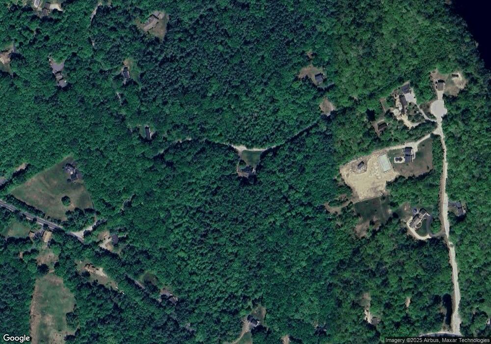
Map
Nearby Homes
- 165 Robert Rogers Rd
- 99 Brown Hill Rd
- 0 Brown Hill Rd Unit 5032600
- 192 Grapevine Rd
- 1003 School St
- 104 White Rock Hill Rd
- 8 Longview Dr
- 3 Abbey Rd
- 107 Page Rd
- 29 S Bow Dunbarton Rd
- 47 Bog Rd Unit G2
- 77 White Rock Hill Rd
- 71 Overlook Dr
- 0 Fairway Dr Unit 11
- 17 Erin Dr
- 592 Page Rd
- 66 Winslow Rd
- 42 Westover Ln
- 4 Bow Center Rd Unit F2
- 500 E Dunbarton Rd
- 29 Hawk Ln
- 20 Hawk Ln
- 11 Putney Rd
- 21 Putney Rd
- 16 Jacqueline Dr
- 14 Jacqueline Dr
- 27 Putney Rd
- 238 Robert Rogers Rd
- 8 Jacqueline Dr
- 228 Robert Rogers Rd
- 35 Putney Rd
- 240 Robert Rogers Rd
- 268 Robert Rogers Rd
- 24 Putney Rd
- 4 Putney Rd
- 254 Robert Rogers Rd
- 9 Jacqueline Dr
- 30 Putney Rd
- 233 Robert Rogers Rd
- 270 Robert Rogers Rd
Your Personal Tour Guide
Ask me questions while you tour the home.