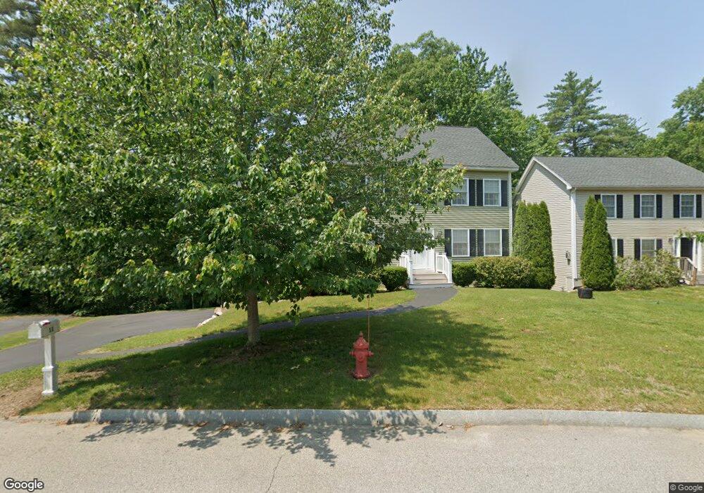
11 Hawthorne Cir Somersworth, NH 03878
Estimated Value: $559,968 - $602,000
3
Beds
3
Baths
2,553
Sq Ft
$225/Sq Ft
Est. Value
About This Home
This home is located at 11 Hawthorne Cir, Somersworth, NH 03878 and is currently estimated at $573,742, approximately $224 per square foot. 11 Hawthorne Cir is a home with nearby schools including Maple Wood Elementary School, Somersworth High School, and Tri-City Christian Academy.
Ownership History
Date
Name
Owned For
Owner Type
Purchase Details
Closed on
Aug 10, 2009
Sold by
Gerrish Park Llc
Bought by
Roffo Charles and Howard Deborah F
Current Estimated Value
Home Financials for this Owner
Home Financials are based on the most recent Mortgage that was taken out on this home.
Original Mortgage
$245,373
Outstanding Balance
$162,093
Interest Rate
5.47%
Estimated Equity
$411,649
Create a Home Valuation Report for This Property
The Home Valuation Report is an in-depth analysis detailing your home's value as well as a comparison with similar homes in the area
Home Values in the Area
Average Home Value in this Area
Purchase History
| Date | Buyer | Sale Price | Title Company |
|---|---|---|---|
| Roffo Charles | $250,000 | -- | |
| Roffo Charles | $250,000 | -- |
Source: Public Records
Mortgage History
| Date | Status | Borrower | Loan Amount |
|---|---|---|---|
| Open | Roffo Charles | $245,373 | |
| Closed | Roffo Charles | $245,373 |
Source: Public Records
Tax History Compared to Growth
Tax History
| Year | Tax Paid | Tax Assessment Tax Assessment Total Assessment is a certain percentage of the fair market value that is determined by local assessors to be the total taxable value of land and additions on the property. | Land | Improvement |
|---|---|---|---|---|
| 2024 | $9,174 | $490,600 | $84,000 | $406,600 |
| 2023 | $8,172 | $278,900 | $31,400 | $247,500 |
| 2022 | $8,079 | $287,600 | $31,400 | $256,200 |
| 2021 | $7,918 | $287,600 | $31,400 | $256,200 |
| 2020 | $8,010 | $287,600 | $31,400 | $256,200 |
| 2019 | $7,846 | $287,600 | $31,400 | $256,200 |
| 2018 | $8,125 | $243,200 | $40,200 | $203,000 |
| 2017 | $8,047 | $243,200 | $40,200 | $203,000 |
| 2016 | $7,812 | $243,200 | $40,200 | $203,000 |
| 2015 | $7,843 | $243,200 | $40,200 | $203,000 |
| 2014 | $7,573 | $243,200 | $40,200 | $203,000 |
Source: Public Records
Map
Nearby Homes
- 159 W High St
- 395 Route 108
- 43 Otis Rd
- 203 New Hampshire 108
- 74 Crystal Springs Way
- 45 Crystal Springs Way
- 163 Rochester St
- 18 Lenox Dr Unit C
- 29 Chadwick Ln
- 301 Sherwood Glen
- 200 Sherwood Glen
- 229 Sherwood Glen
- 206 Sherwood Glen
- 187 Old Rochester Rd
- 19B Birch Hill Ln Unit 19B
- 8 Crest Dr
- 23A Birch Hill Ln Unit 23A
- 320 Old Dover Rd
- 23B Birch Hill Ln Unit 23B
- 22A Birch Hill Ln Unit 22A
- 9 Hawthorne Cir
- 9 Hawthorne Cir
- 15 Hawthorne Cir
- 7 Hawthorne Cir
- 16 Hawthorne Cir
- 10 Hawthorne Cir
- 8 Hawthorne Cir
- 79 Hawthorne Cir
- 2 Hawthorne Cir
- 196 W High St
- 25 Hawthorne Cir
- 24 Hawthorne Cir
- 190 W High St
- 77 Hawthorne Cir
- 29 Hawthorne Cir
- 29 Hawthorne Cir
- 200 W High St
- 73 Hawthorne Cir
- 195 W High St
- 188 W High St