11 Henrys Way Wilton, NH 03086
Estimated Value: $651,000 - $766,000
3
Beds
2
Baths
2,568
Sq Ft
$270/Sq Ft
Est. Value
About This Home
This home is located at 11 Henrys Way, Wilton, NH 03086 and is currently estimated at $694,263, approximately $270 per square foot. 11 Henrys Way is a home located in Hillsborough County with nearby schools including Florence Rideout Elementary School, Wilton-Lyndeborough Cooperative Middle School, and Wilton-Lyndeborough Cooperative High School.
Ownership History
Date
Name
Owned For
Owner Type
Purchase Details
Closed on
Sep 30, 1999
Sold by
Linke Dallas R and Linke Belinda Kay
Bought by
Hajjar David and Hajjar Patricia A
Current Estimated Value
Home Financials for this Owner
Home Financials are based on the most recent Mortgage that was taken out on this home.
Original Mortgage
$140,000
Interest Rate
7.85%
Create a Home Valuation Report for This Property
The Home Valuation Report is an in-depth analysis detailing your home's value as well as a comparison with similar homes in the area
Home Values in the Area
Average Home Value in this Area
Purchase History
| Date | Buyer | Sale Price | Title Company |
|---|---|---|---|
| Hajjar David | $202,500 | -- |
Source: Public Records
Mortgage History
| Date | Status | Borrower | Loan Amount |
|---|---|---|---|
| Open | Hajjar David | $102,000 | |
| Closed | Hajjar David | $124,558 | |
| Closed | Hajjar David | $140,000 |
Source: Public Records
Tax History Compared to Growth
Tax History
| Year | Tax Paid | Tax Assessment Tax Assessment Total Assessment is a certain percentage of the fair market value that is determined by local assessors to be the total taxable value of land and additions on the property. | Land | Improvement |
|---|---|---|---|---|
| 2024 | $10,741 | $431,899 | $127,299 | $304,600 |
| 2023 | $9,588 | $431,899 | $127,299 | $304,600 |
| 2022 | $8,923 | $431,890 | $127,290 | $304,600 |
| 2021 | $8,301 | $431,890 | $127,290 | $304,600 |
| 2020 | $8,197 | $278,890 | $98,590 | $180,300 |
| 2019 | $8,070 | $277,890 | $98,590 | $179,300 |
| 2018 | $7,989 | $277,767 | $98,467 | $179,300 |
| 2017 | $7,540 | $277,500 | $98,200 | $179,300 |
| 2016 | $7,306 | $277,380 | $98,080 | $179,300 |
| 2015 | $7,114 | $270,080 | $101,080 | $169,000 |
| 2014 | $6,956 | $269,610 | $101,110 | $168,500 |
| 2013 | $7,014 | $269,550 | $101,050 | $168,500 |
Source: Public Records
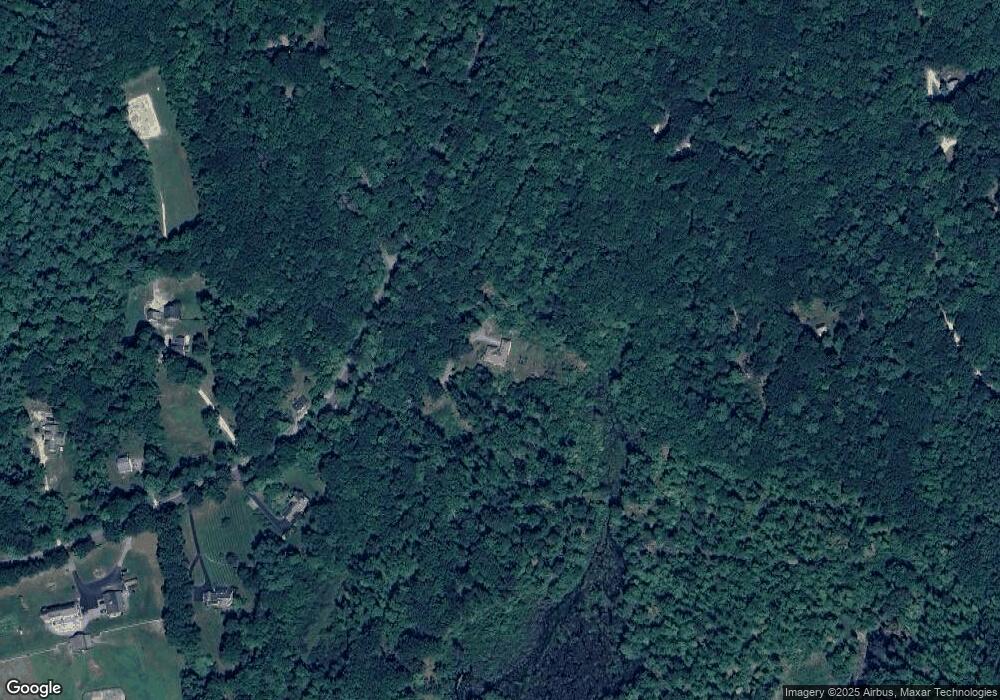
Map
Nearby Homes
- 415 Savage Rd
- Lot F-88-9 Aria Hill Dr
- F-88-10 Aria Hill Dr
- F-88-11 Aria Hill Dr
- F-88-12 Aria Hill Dr
- F-88-7 Aria Hill Dr
- 18 Richfield Way
- 361 Captain Clark Hwy
- 294 Mason Rd
- 21 Ledgewood Rd
- 131 Badger Hill Dr
- 30 Robbins Rd
- 134 Falcon Ridge Rd Unit 23
- 8 Maple St
- F/88-5 McGettigan Rd
- F/88-4 McGettigan Rd
- 44 Burns Hill Rd
- 25 Burns Hill Rd
- 43 Boxwood Cir
- Lots 4 & 7 Gibbons & Robbins Rd