11 High Meadow Rd Wrentham, MA 02093
Estimated Value: $234,000 - $498,000
--
Bed
3
Baths
--
Sq Ft
2.26
Acres
About This Home
This home is located at 11 High Meadow Rd, Wrentham, MA 02093 and is currently estimated at $359,201. 11 High Meadow Rd is a home located in Norfolk County with nearby schools including Delaney Elementary School and Charles E Roderick.
Ownership History
Date
Name
Owned For
Owner Type
Purchase Details
Closed on
Oct 20, 2009
Sold by
Aiello Vincent and Aiello Carol A
Bought by
Saviano Jeffrey N and Saviano Lisa A
Current Estimated Value
Home Financials for this Owner
Home Financials are based on the most recent Mortgage that was taken out on this home.
Original Mortgage
$159,250
Outstanding Balance
$104,306
Interest Rate
5.14%
Mortgage Type
Purchase Money Mortgage
Estimated Equity
$254,895
Purchase Details
Closed on
May 24, 2006
Sold by
Wrentham Hills Llc
Bought by
Aiello Vincent and Aiello Carol A
Create a Home Valuation Report for This Property
The Home Valuation Report is an in-depth analysis detailing your home's value as well as a comparison with similar homes in the area
Home Values in the Area
Average Home Value in this Area
Purchase History
| Date | Buyer | Sale Price | Title Company |
|---|---|---|---|
| Saviano Jeffrey N | $245,000 | -- | |
| Aiello Vincent | $280,000 | -- |
Source: Public Records
Mortgage History
| Date | Status | Borrower | Loan Amount |
|---|---|---|---|
| Open | Saviano Jeffrey N | $159,250 |
Source: Public Records
Tax History Compared to Growth
Tax History
| Year | Tax Paid | Tax Assessment Tax Assessment Total Assessment is a certain percentage of the fair market value that is determined by local assessors to be the total taxable value of land and additions on the property. | Land | Improvement |
|---|---|---|---|---|
| 2025 | $3,257 | $281,000 | $281,000 | $0 |
| 2024 | $3,372 | $281,000 | $281,000 | $0 |
| 2023 | $3,232 | $256,100 | $256,100 | $0 |
| 2022 | $3,161 | $231,200 | $231,200 | $0 |
| 2021 | $2,918 | $207,400 | $207,400 | $0 |
| 2020 | $2,706 | $189,900 | $189,900 | $0 |
| 2019 | $2,681 | $189,900 | $189,900 | $0 |
| 2018 | $2,704 | $189,900 | $189,900 | $0 |
| 2017 | $2,655 | $186,300 | $186,300 | $0 |
| 2016 | $2,807 | $196,600 | $196,600 | $0 |
| 2015 | $2,833 | $189,100 | $189,100 | $0 |
| 2014 | $2,785 | $181,900 | $181,900 | $0 |
Source: Public Records
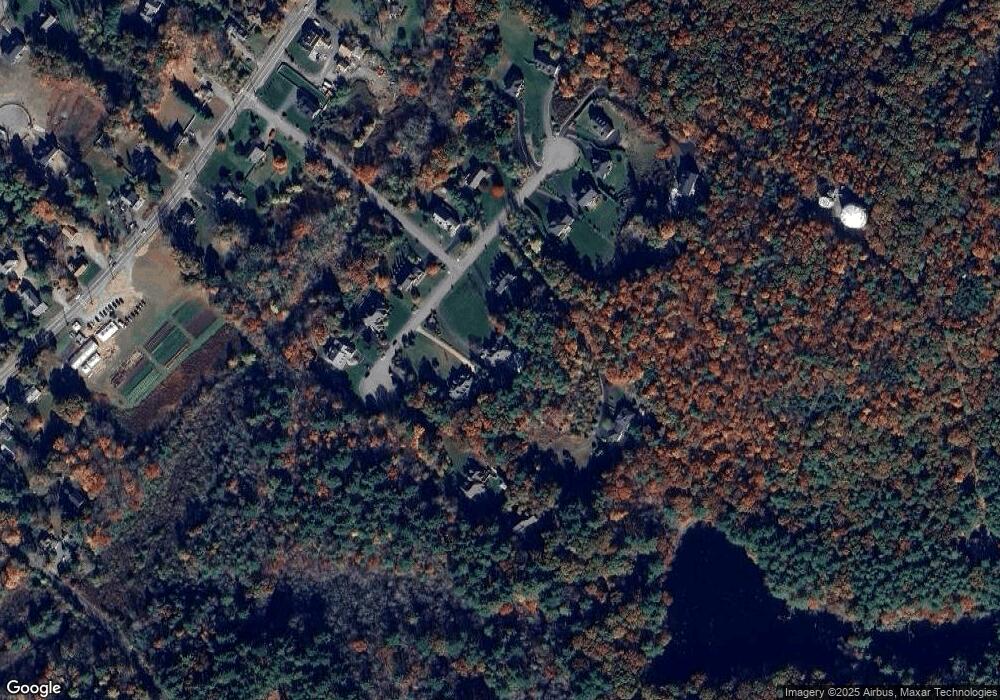
Map
Nearby Homes
- Lot 1 - Blueberry 2 Car Plan at King Philip Estates
- Lot 8 - Blueberry 2 Car Plan at King Philip Estates
- Lot 5 - Hughes 2 car Plan at King Philip Estates
- Lot 6 - Blueberry 3 Car Plan at King Philip Estates
- Lot 2 - Camden 2 Car Plan at King Philip Estates
- Lot 7 - Cedar Plan at King Philip Estates
- Lot 4 - Hemingway 2 Car Plan at King Philip Estates
- Lot 3 - Blueberry 2 Car Plan at King Philip Estates
- 11 Earle Stewart Ln
- Lot 3 - 14 Earle Stewart Ln
- 319 Taunton St
- 131 Creek St Unit 7
- 791 South St Unit 5
- 10 Nature View Dr
- 15 Nature View Dr
- 570 Franklin St
- 362 East St
- 1 Lorraine Metcalf Dr
- 270 Dedham St
- 120 Hawes St
- 17 High Meadow Rd
- 19 High Meadow Rd
- 15A High Meadow Rd
- 15 High Meadow Rd
- 10 High Meadow Rd
- Lot 14 High Meadow Rd
- Lot 11 High Meadow Rd
- 14 High Meadow Rd
- 14 High Meadow Rd Unit 14
- 14 High Meadow Rd
- 7 Badus Brook Rd
- 25 High Meadow Rd
- 7 High Meadow Rd
- 20 High Meadow Rd
- 18 High Meadow Rd
- 9 High Meadow Rd
- 8 High Meadow Rd
- 5 High Meadow Rd
- 23 High Meadow Rd
- 3 High Meadow Rd