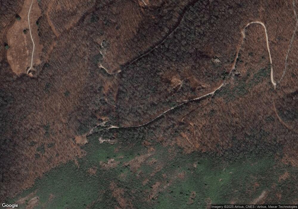
11 High Ridge Rd Cullowhee, NC 28723
Estimated Value: $492,000 - $1,264,000
3
Beds
3
Baths
3,606
Sq Ft
$227/Sq Ft
Est. Value
About This Home
This home is located at 11 High Ridge Rd, Cullowhee, NC 28723 and is currently estimated at $818,130, approximately $226 per square foot. 11 High Ridge Rd is a home with nearby schools including Blue Ridge School and Smoky Mountain High School.
Ownership History
Date
Name
Owned For
Owner Type
Purchase Details
Closed on
Sep 8, 2015
Sold by
Price Judith Anne and Price Jerry
Bought by
Murtagh Carol D
Current Estimated Value
Home Financials for this Owner
Home Financials are based on the most recent Mortgage that was taken out on this home.
Original Mortgage
$172,000
Outstanding Balance
$69,142
Interest Rate
4.02%
Mortgage Type
New Conventional
Estimated Equity
$748,988
Create a Home Valuation Report for This Property
The Home Valuation Report is an in-depth analysis detailing your home's value as well as a comparison with similar homes in the area
Home Values in the Area
Average Home Value in this Area
Purchase History
| Date | Buyer | Sale Price | Title Company |
|---|---|---|---|
| Murtagh Carol D | $215,000 | None Available |
Source: Public Records
Mortgage History
| Date | Status | Borrower | Loan Amount |
|---|---|---|---|
| Open | Murtagh Carol D | $172,000 |
Source: Public Records
Tax History Compared to Growth
Tax History
| Year | Tax Paid | Tax Assessment Tax Assessment Total Assessment is a certain percentage of the fair market value that is determined by local assessors to be the total taxable value of land and additions on the property. | Land | Improvement |
|---|---|---|---|---|
| 2025 | $2,689 | $707,595 | $101,470 | $606,125 |
| 2024 | $1,785 | $469,760 | $103,820 | $365,940 |
| 2023 | $2,048 | $469,760 | $103,820 | $365,940 |
| 2022 | $2,048 | $469,760 | $103,820 | $365,940 |
| 2021 | $1,785 | $469,760 | $103,820 | $365,940 |
| 2020 | $1,627 | $382,670 | $76,520 | $306,150 |
| 2019 | $1,627 | $382,670 | $76,520 | $306,150 |
| 2018 | $1,627 | $382,670 | $76,520 | $306,150 |
| 2017 | $1,589 | $382,670 | $76,520 | $306,150 |
| 2015 | $1,961 | $541,370 | $117,730 | $423,640 |
| 2011 | -- | $629,940 | $146,670 | $483,270 |
Source: Public Records
Map
Nearby Homes
- FE-3 Triple Farm
- 281 High Cliffs Rd
- 148 E Ridge Rd
- RT-8 Broadwing
- TBD Nashs Knoll
- 208 Nashs Knoll
- Lot 13 Saratay Falls Dr
- TBD Saratay Falls Dr
- Lot 9 Saratay Falls Dr
- Lot 6 Hayes Trail Dr
- 86 E Meadow Ridge
- 47 Hayes Trail
- 36 Devils Courthouse View
- 17 Wildflower Dr
- 353 Gristmill Ridge
- 70 Mallet Mountain Way
- Lot 2 Gorge Trail
- 364 Gristmill Ridge
- 850 Little Terrapin Rd
- 30 Top of the Ridge Rd
- 1935 Whiteside Cove Rd
- 202 Sandy Branch Rd
- 114 High View Rd
- F1F2 Sandy Branch Rd
- 6 Spring Valley Rd
- 1989 Whiteside Cove Rd
- 135 Sandy Branch Rd
- 348 Spring Valley Rd
- 142 Ridges Loop
- 142 Highridge Rd
- A5 & D5 Sandy Branch Rd Unit A5 & D5
- 252 Springhouse Dr
- 274 High Ridge Rd
- A1 Spring Valley Rd
- A10 Spring Valley Rd
- 2259 Whiteside Cove Rd
- 252 Spring Valley Rd
- 0 Spring Valley Rd Unit 54663
- 361 Sandy Branch Rd
- 2259 Whiteside Cove Rd
