11 Hill Top Rd East Haddam, CT 06423
Estimated Value: $463,417 - $523,000
3
Beds
2
Baths
1,572
Sq Ft
$312/Sq Ft
Est. Value
About This Home
This home is located at 11 Hill Top Rd, East Haddam, CT 06423 and is currently estimated at $490,354, approximately $311 per square foot. 11 Hill Top Rd is a home located in Middlesex County with nearby schools including East Haddam Elementary School, Nathan Hale-Ray Middle School, and Nathan Hale-Ray High School.
Ownership History
Date
Name
Owned For
Owner Type
Purchase Details
Closed on
Apr 4, 2018
Sold by
Jones Frederick J and Jones Nicola G
Bought by
Thompson Peter H and Hinton Sharon B
Current Estimated Value
Home Financials for this Owner
Home Financials are based on the most recent Mortgage that was taken out on this home.
Original Mortgage
$242,700
Outstanding Balance
$208,524
Interest Rate
4.4%
Mortgage Type
New Conventional
Estimated Equity
$281,830
Purchase Details
Closed on
Apr 1, 2010
Sold by
Antoniac Robert and Antoniac Gail
Bought by
Jones Frederick and Jones Nicola
Create a Home Valuation Report for This Property
The Home Valuation Report is an in-depth analysis detailing your home's value as well as a comparison with similar homes in the area
Home Values in the Area
Average Home Value in this Area
Purchase History
| Date | Buyer | Sale Price | Title Company |
|---|---|---|---|
| Thompson Peter H | $269,700 | -- | |
| Jones Frederick | $255,000 | -- |
Source: Public Records
Mortgage History
| Date | Status | Borrower | Loan Amount |
|---|---|---|---|
| Open | Thompson Peter H | $242,700 | |
| Previous Owner | Jones Frederick | $40,000 |
Source: Public Records
Tax History Compared to Growth
Tax History
| Year | Tax Paid | Tax Assessment Tax Assessment Total Assessment is a certain percentage of the fair market value that is determined by local assessors to be the total taxable value of land and additions on the property. | Land | Improvement |
|---|---|---|---|---|
| 2024 | $6,335 | $236,740 | $91,280 | $145,460 |
| 2023 | $6,096 | $236,740 | $91,280 | $145,460 |
| 2022 | $5,583 | $175,620 | $62,920 | $112,700 |
| 2021 | $5,346 | $175,620 | $62,920 | $112,700 |
| 2020 | $5,346 | $175,620 | $62,920 | $112,700 |
| 2019 | $5,346 | $175,620 | $62,920 | $112,700 |
| 2018 | $5,209 | $175,620 | $62,920 | $112,700 |
| 2017 | $4,607 | $155,750 | $52,430 | $103,320 |
| 2016 | $4,571 | $155,750 | $52,430 | $103,320 |
| 2015 | $4,467 | $155,750 | $52,430 | $103,320 |
| 2014 | $4,345 | $155,750 | $52,430 | $103,320 |
Source: Public Records
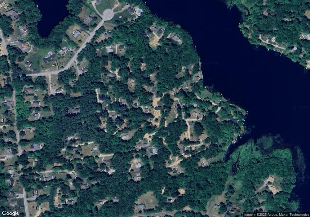
Map
Nearby Homes
- 42 Dogwood Rd
- 151 Alger Rd
- 18 Birch Rd
- 57 Bailey Rd
- 25 Old Acres
- 114 Lakeside Dr
- 53 Falls Bashan Rd
- 154 Falls Rd
- 68 Eli Chapman Rd
- 21 Olmstead Rd
- 23 Olmstead Rd
- 112 Schulman Veslak Rd
- 50 William F Palmer Rd
- 12 Pickeral Dr
- 5 Joe Williams Rd
- 63 Schulman Veslak Rd
- 115 Lakeview Dr
- 145 Lakeview Dr
- 213 Waterhole Rd
- 398 E Haddam Moodus Rd