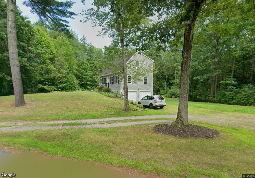
11 Horton Rd Orange, MA 01364
Estimated Value: $395,000 - $462,000
3
Beds
2
Baths
1,344
Sq Ft
$311/Sq Ft
Est. Value
About This Home
This home is located at 11 Horton Rd, Orange, MA 01364 and is currently estimated at $418,616, approximately $311 per square foot. 11 Horton Rd is a home located in Franklin County with nearby schools including Fisher Hill and Ralph C Mahar Regional School.
Ownership History
Date
Name
Owned For
Owner Type
Purchase Details
Closed on
Oct 1, 2021
Sold by
Brown Michael C
Bought by
Bernier Christina A
Current Estimated Value
Home Financials for this Owner
Home Financials are based on the most recent Mortgage that was taken out on this home.
Original Mortgage
$297,979
Outstanding Balance
$271,729
Interest Rate
2.8%
Mortgage Type
Purchase Money Mortgage
Estimated Equity
$146,887
Purchase Details
Closed on
Feb 1, 2006
Sold by
D&D Rt and Holmes Doris
Bought by
Brown Michael C
Home Financials for this Owner
Home Financials are based on the most recent Mortgage that was taken out on this home.
Original Mortgage
$214,600
Interest Rate
6.31%
Mortgage Type
Purchase Money Mortgage
Purchase Details
Closed on
Sep 6, 2005
Sold by
Wilkey Richard D
Bought by
D&D Rt and Holmes Doris
Home Financials for this Owner
Home Financials are based on the most recent Mortgage that was taken out on this home.
Original Mortgage
$160,950
Interest Rate
5.81%
Mortgage Type
Purchase Money Mortgage
Create a Home Valuation Report for This Property
The Home Valuation Report is an in-depth analysis detailing your home's value as well as a comparison with similar homes in the area
Home Values in the Area
Average Home Value in this Area
Purchase History
| Date | Buyer | Sale Price | Title Company |
|---|---|---|---|
| Bernier Christina A | $295,000 | None Available | |
| Brown Michael C | $214,600 | -- | |
| D&D Rt | $30,000 | -- |
Source: Public Records
Mortgage History
| Date | Status | Borrower | Loan Amount |
|---|---|---|---|
| Open | Bernier Christina A | $297,979 | |
| Previous Owner | Brown Michael C | $214,600 | |
| Previous Owner | D&D Rt | $160,950 |
Source: Public Records
Tax History Compared to Growth
Tax History
| Year | Tax Paid | Tax Assessment Tax Assessment Total Assessment is a certain percentage of the fair market value that is determined by local assessors to be the total taxable value of land and additions on the property. | Land | Improvement |
|---|---|---|---|---|
| 2025 | $67 | $410,100 | $34,800 | $375,300 |
| 2024 | $5,478 | $314,100 | $34,800 | $279,300 |
| 2023 | $4,531 | $252,300 | $34,800 | $217,500 |
| 2022 | $4,667 | $244,100 | $34,800 | $209,300 |
| 2021 | $4,439 | $221,400 | $47,600 | $173,800 |
| 2020 | $4,420 | $217,400 | $45,400 | $172,000 |
| 2019 | $4,322 | $191,900 | $40,600 | $151,300 |
| 2018 | $4,140 | $188,700 | $39,300 | $149,400 |
| 2017 | $4,006 | $188,700 | $39,300 | $149,400 |
| 2016 | $3,878 | $178,700 | $39,300 | $139,400 |
| 2015 | $3,637 | $175,100 | $34,900 | $140,200 |
| 2014 | $3,425 | $173,500 | $30,600 | $142,900 |
Source: Public Records
Map
Nearby Homes
- 50 Eagleville Rd
- 57 Eagleville Rd
- 61 Eagleville Rd
- 20 Horton Rd
- 42 Eagleville Rd
- 41 Eagleville Rd
- 27 Horton Rd
- 64 Eagleville Rd
- 39 Eagleville Rd
- 28 Horton Rd
- 40 Eagleville Rd
- 22 Horton Rd
- 32 Horton Rd
- 37 Eagleville Rd
- 34 Eagleville Rd
- 39 Horton Rd
- 43 Horton Rd
- 33 Eagleville Rd
- 40 Horton Rd
- 76 Eagleville Rd