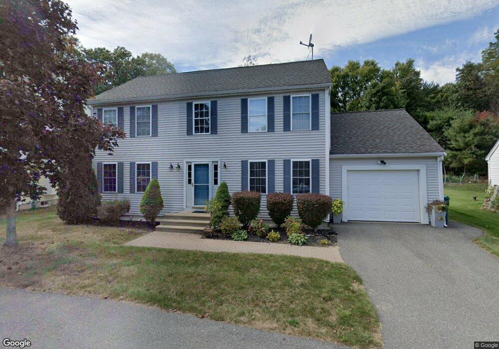
11 Joyce Ln Boxborough, MA 01719
Estimated Value: $354,067 - $1,067,000
3
Beds
2
Baths
1,872
Sq Ft
$347/Sq Ft
Est. Value
About This Home
This home is located at 11 Joyce Ln, Boxborough, MA 01719 and is currently estimated at $648,689, approximately $346 per square foot. 11 Joyce Ln is a home located in Middlesex County with nearby schools including Acton-Boxborough Regional High School.
Ownership History
Date
Name
Owned For
Owner Type
Purchase Details
Closed on
Feb 4, 2003
Sold by
Boxborough Meadows Llc
Bought by
Gibson Brionda M
Current Estimated Value
Home Financials for this Owner
Home Financials are based on the most recent Mortgage that was taken out on this home.
Original Mortgage
$81,550
Outstanding Balance
$35,282
Interest Rate
6.09%
Mortgage Type
Purchase Money Mortgage
Estimated Equity
$613,407
Create a Home Valuation Report for This Property
The Home Valuation Report is an in-depth analysis detailing your home's value as well as a comparison with similar homes in the area
Home Values in the Area
Average Home Value in this Area
Purchase History
| Date | Buyer | Sale Price | Title Company |
|---|---|---|---|
| Gibson Brionda M | $116,500 | -- |
Source: Public Records
Mortgage History
| Date | Status | Borrower | Loan Amount |
|---|---|---|---|
| Open | Gibson Brionda M | $81,550 |
Source: Public Records
Tax History
| Year | Tax Paid | Tax Assessment Tax Assessment Total Assessment is a certain percentage of the fair market value that is determined by local assessors to be the total taxable value of land and additions on the property. | Land | Improvement |
|---|---|---|---|---|
| 2025 | $2,901 | $191,600 | $64,900 | $126,700 |
| 2024 | $2,626 | $175,200 | $58,900 | $116,300 |
| 2023 | $2,562 | $165,100 | $54,300 | $110,800 |
| 2022 | $2,486 | $142,700 | $54,300 | $88,400 |
| 2020 | $2,252 | $134,700 | $54,300 | $80,400 |
| 2019 | $2,212 | $134,700 | $54,300 | $80,400 |
| 2018 | $10,522 | $127,200 | $58,000 | $69,200 |
| 2017 | $6,760 | $133,500 | $58,000 | $75,500 |
| 2016 | $1,808 | $110,500 | $58,000 | $52,500 |
| 2015 | $1,858 | $111,600 | $48,200 | $63,400 |
| 2014 | $1,879 | $106,200 | $47,700 | $58,500 |
Source: Public Records
Map
Nearby Homes
- 77 Wheeler Dr Unit 77
- 20 Lyons Ln Unit 20
- 79 Old Orchard Ln
- 134 Russet Ln Unit 134
- 40 Fifers Ln
- 959 Hill Rd
- 631 Massachusetts Ave Unit 631
- 555 Old Harvard Rd
- 39 Ridgewood Dr Unit 39
- 40 Ridgewood Dr Unit 40
- 58 Spencer Rd Unit 32K
- 4 Littlefield Rd
- 92 Willow St Unit 3
- 92 Willow St Unit 2
- 50 Spencer Rd Unit 12L
- 90 Willow St Unit 1
- 15 Spencer Rd Unit 12E
- 280 W Acton Rd
- 17 W View Ln Unit 17
- 235 Arlington St
Your Personal Tour Guide
Ask me questions while you tour the home.