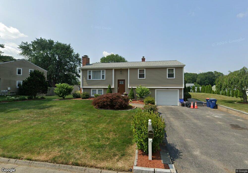
11 King Philip Rd Seekonk, MA 02771
Estimated Value: $547,804 - $607,000
3
Beds
2
Baths
1,190
Sq Ft
$478/Sq Ft
Est. Value
About This Home
This home is located at 11 King Philip Rd, Seekonk, MA 02771 and is currently estimated at $568,451, approximately $477 per square foot. 11 King Philip Rd is a home located in Bristol County with nearby schools including Seekonk High School, Ocean State Montessori School, and St Mary Academy-Bay View.
Ownership History
Date
Name
Owned For
Owner Type
Purchase Details
Closed on
Nov 2, 2009
Sold by
Coccia Julie A
Bought by
Dasilva Rui S and Gaipo-Dasilva Jo-Ann P
Current Estimated Value
Home Financials for this Owner
Home Financials are based on the most recent Mortgage that was taken out on this home.
Original Mortgage
$223,200
Outstanding Balance
$146,187
Interest Rate
5.06%
Mortgage Type
Purchase Money Mortgage
Estimated Equity
$422,264
Purchase Details
Closed on
Aug 10, 1990
Sold by
Murray James K
Bought by
Coccia Robert J
Home Financials for this Owner
Home Financials are based on the most recent Mortgage that was taken out on this home.
Original Mortgage
$100,000
Interest Rate
10.04%
Mortgage Type
Purchase Money Mortgage
Create a Home Valuation Report for This Property
The Home Valuation Report is an in-depth analysis detailing your home's value as well as a comparison with similar homes in the area
Home Values in the Area
Average Home Value in this Area
Purchase History
| Date | Buyer | Sale Price | Title Company |
|---|---|---|---|
| Dasilva Rui S | $279,000 | -- | |
| Coccia Robert J | $148,000 | -- |
Source: Public Records
Mortgage History
| Date | Status | Borrower | Loan Amount |
|---|---|---|---|
| Open | Dasilva Rui S | $223,200 | |
| Previous Owner | Coccia Robert J | $50,000 | |
| Previous Owner | Coccia Robert J | $100,000 | |
| Previous Owner | Coccia Robert J | $100,000 | |
| Previous Owner | Coccia Robert J | $40,000 |
Source: Public Records
Tax History Compared to Growth
Tax History
| Year | Tax Paid | Tax Assessment Tax Assessment Total Assessment is a certain percentage of the fair market value that is determined by local assessors to be the total taxable value of land and additions on the property. | Land | Improvement |
|---|---|---|---|---|
| 2025 | $5,459 | $442,000 | $163,900 | $278,100 |
| 2024 | $5,250 | $425,100 | $163,900 | $261,200 |
| 2023 | $5,098 | $388,900 | $146,900 | $242,000 |
| 2022 | $4,717 | $353,600 | $146,900 | $206,700 |
| 2021 | $4,456 | $328,400 | $125,600 | $202,800 |
| 2020 | $4,283 | $325,200 | $125,700 | $199,500 |
| 2019 | $4,092 | $313,300 | $125,700 | $187,600 |
| 2018 | $4,002 | $299,800 | $125,700 | $174,100 |
| 2017 | $3,932 | $292,100 | $127,000 | $165,100 |
| 2016 | $3,893 | $290,300 | $127,000 | $163,300 |
| 2015 | $3,554 | $268,600 | $115,300 | $153,300 |
Source: Public Records
Map
Nearby Homes
- 147 Olney St
- 358 Olney St
- 30 Rosemarie Dr
- 199 Cole St
- 349 County St
- 42 Tee Jay Dr
- 524 County St
- 454 Fall River Ave
- 759 Fall River Ave
- 698 Fall River Ave
- 420 Chestnut St
- 72 School St
- 44 Raymond Dr
- 39 John Alden Rd
- 296 Fall River Ave
- 62 Chestnut St
- 0 Milton St Unit 72633661
- 442 Taunton Ave
- 206 Wheeler St
- 0 Pleasant St
- 21 King Philip Rd
- 12 Mohawk Dr
- 5 King Philip Rd
- 12 King Philip Rd
- 2 King Philip Rd
- 18 Mohawk Dr
- 32 Pocahontas Dr
- 31 King Philip Rd
- 22 King Philip Rd
- 15 Pocahontas Dr
- 27 Pocahontas Dr
- 11 Mohawk Dr
- 21 Mohawk Dr
- 223 Olney St
- 30 Mohawk Dr
- 32 King Philip Rd
- 207 Olney St
- 33 Pocahontas Dr
- 41 King Philip Rd
- 31 Mohawk Dr