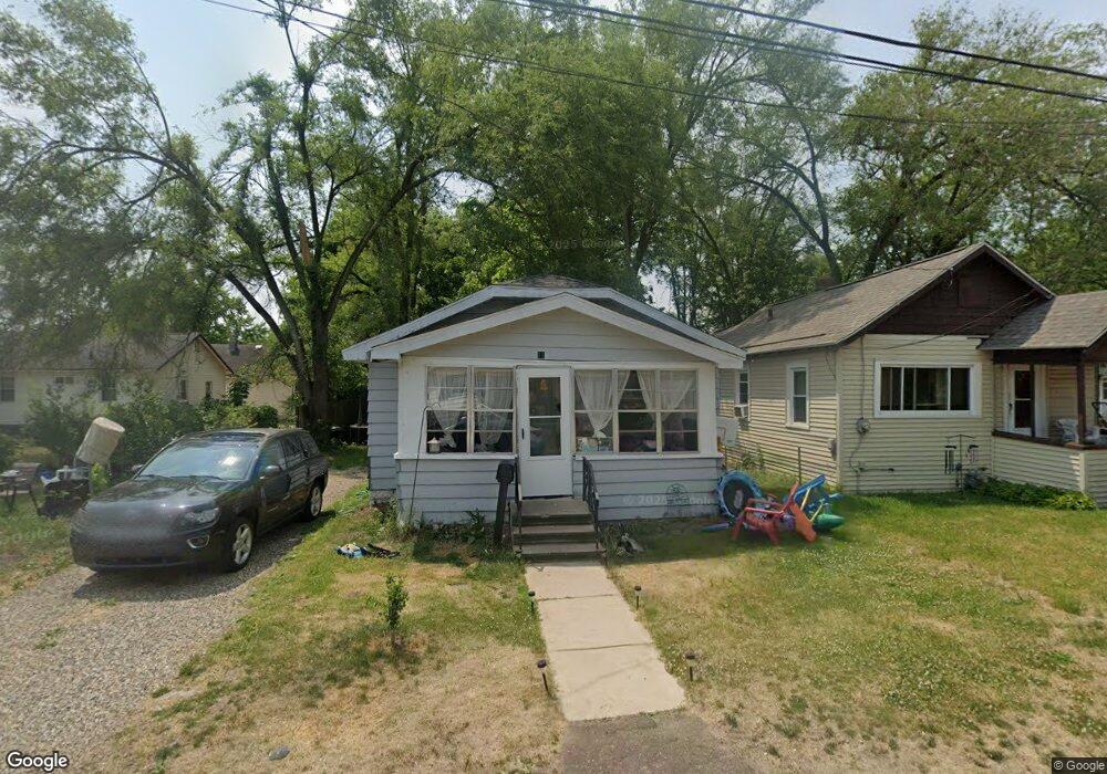
11 Laramie Ct Battle Creek, MI 49037
North Central NeighborhoodEstimated Value: $72,000 - $103,000
2
Beds
1
Bath
660
Sq Ft
$130/Sq Ft
Est. Value
About This Home
This home is located at 11 Laramie Ct, Battle Creek, MI 49037 and is currently estimated at $85,927, approximately $130 per square foot. 11 Laramie Ct is a home located in Calhoun County with nearby schools including Dudley School, Northwestern Middle School, and Battle Creek Central High School.
Ownership History
Date
Name
Owned For
Owner Type
Purchase Details
Closed on
Jul 14, 2011
Sold by
Fannie Mae
Bought by
Belser Dena R
Current Estimated Value
Purchase Details
Closed on
May 16, 2011
Sold by
Bac Home Loans Servicing Lp
Bought by
Fannie Mae
Purchase Details
Closed on
Sep 30, 2010
Sold by
Richardson Jacqueline
Bought by
Bac Home Loans Servicing L P
Purchase Details
Closed on
May 21, 1996
Bought by
Richardson
Create a Home Valuation Report for This Property
The Home Valuation Report is an in-depth analysis detailing your home's value as well as a comparison with similar homes in the area
Home Values in the Area
Average Home Value in this Area
Purchase History
| Date | Buyer | Sale Price | Title Company |
|---|---|---|---|
| Belser Dena R | $6,000 | Attorneys Title Agency Llc | |
| Fannie Mae | -- | None Available | |
| Bac Home Loans Servicing L P | $9,100 | None Available | |
| Richardson | $9,300 | -- |
Source: Public Records
Tax History Compared to Growth
Tax History
| Year | Tax Paid | Tax Assessment Tax Assessment Total Assessment is a certain percentage of the fair market value that is determined by local assessors to be the total taxable value of land and additions on the property. | Land | Improvement |
|---|---|---|---|---|
| 2025 | -- | $21,200 | $0 | $0 |
| 2024 | $560 | $17,640 | $0 | $0 |
| 2023 | $713 | $15,166 | $0 | $0 |
| 2022 | $506 | $12,700 | $0 | $0 |
| 2021 | $677 | $10,976 | $0 | $0 |
| 2020 | $673 | $10,846 | $0 | $0 |
| 2019 | $669 | $10,099 | $0 | $0 |
| 2018 | $669 | $10,858 | $323 | $10,535 |
| 2017 | $652 | $10,945 | $0 | $0 |
| 2016 | $650 | $11,482 | $0 | $0 |
| 2015 | $637 | $10,602 | $1,310 | $9,292 |
| 2014 | $637 | $9,919 | $1,310 | $8,609 |
Source: Public Records
Map
Nearby Homes
- 188 Roseneath Ave
- 224 Hubbard St
- 216 Kendall St N
- 253 Greenwood Ave
- 52 Roseneath Ave
- 5 Beglin Ct
- 435 Kendall St N
- 60 Graves Ave
- 69 Jordan St
- 89 Somerset Ave
- 562 Van Buren St W
- 35 Hubbard St
- 0 W Vanburen 027 St Unit 22040287
- 0 W Vanburen 025 St Unit 22040286
- 0 W Vanburen 032 St Unit 22040288
- 0 W Michigan 011 Ave Unit 22040285
- 0 W Michigan 010 Ave Unit 22040284
- 0 W Ave Unit 22040282
- 0 W Michigan 005 Ave Unit 22040281
- 46 Walter Ave
- 15 Laramie Ct
- 269 Wood St N
- 283 Wood St N
- 267 Wood St N
- 10 Laramie Ct
- 10 Saunders Ct
- 263 Wood St N
- 24 Laramie Ct
- 15 Saunders Ct
- 259 Wood St N
- 282 Wood St N
- 11 Saunders Ct
- 255 Wood St N
- 188 Helen M Montgomery Ave
- 268 Wood St N
- 9 Saunders Ct
- 192 Helen M Montgomery Ave
- 266 Wood St N
- 260 Wood St N
- 251 Wood St N