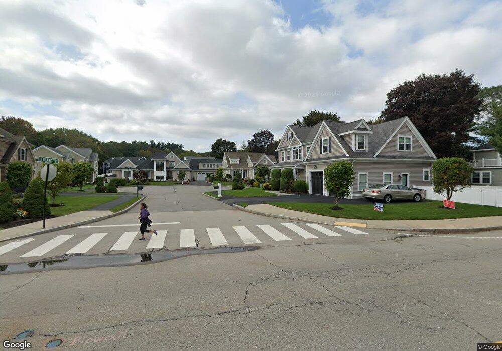
11 Leblanc Ln Waltham, MA 02452
North Waltham NeighborhoodEstimated Value: $1,262,000 - $1,635,000
--
Bed
1
Bath
2,271
Sq Ft
$617/Sq Ft
Est. Value
About This Home
This home is located at 11 Leblanc Ln, Waltham, MA 02452 and is currently estimated at $1,401,596, approximately $617 per square foot. 11 Leblanc Ln is a home with nearby schools including Northeast Elementary School, John F Kennedy Middle School, and Waltham Sr High School.
Ownership History
Date
Name
Owned For
Owner Type
Purchase Details
Closed on
Jul 14, 2016
Sold by
Sacco Robert P
Bought by
Janice M Sacco Lt
Current Estimated Value
Purchase Details
Closed on
Oct 26, 2011
Sold by
470 Forest Street Llc
Bought by
Sacco Robert and Sacco Janice
Create a Home Valuation Report for This Property
The Home Valuation Report is an in-depth analysis detailing your home's value as well as a comparison with similar homes in the area
Home Values in the Area
Average Home Value in this Area
Purchase History
| Date | Buyer | Sale Price | Title Company |
|---|---|---|---|
| Janice M Sacco Lt | -- | -- | |
| Sacco Robert | $396,000 | -- |
Source: Public Records
Tax History Compared to Growth
Tax History
| Year | Tax Paid | Tax Assessment Tax Assessment Total Assessment is a certain percentage of the fair market value that is determined by local assessors to be the total taxable value of land and additions on the property. | Land | Improvement |
|---|---|---|---|---|
| 2025 | $11,120 | $1,132,400 | $463,500 | $668,900 |
| 2024 | $10,648 | $1,104,600 | $443,000 | $661,600 |
| 2023 | $10,692 | $1,036,000 | $402,000 | $634,000 |
| 2022 | $10,595 | $951,100 | $361,000 | $590,100 |
| 2021 | $10,463 | $924,300 | $361,000 | $563,300 |
| 2020 | $10,681 | $893,800 | $336,400 | $557,400 |
| 2019 | $10,423 | $823,300 | $332,300 | $491,000 |
| 2018 | $9,587 | $760,300 | $307,700 | $452,600 |
| 2017 | $9,188 | $731,500 | $278,900 | $452,600 |
| 2016 | $8,349 | $682,100 | $262,500 | $419,600 |
| 2015 | $8,185 | $623,400 | $229,700 | $393,700 |
Source: Public Records
Map
Nearby Homes
- 116 Raffaele Dr
- 55 Circle Dr
- 70 Rosewood Dr
- 23 Wight St
- 750 Trapelo Rd
- 65 Woburn St
- 38 Van Vechten St
- 45 Chase Rd
- 170 Clocktower Dr Unit 5103
- 107 Clocktower Dr Unit 3302
- 87 Clocktower Dr Unit 2207
- 100 Shirley Rd
- 28 College Farm Rd Unit 2
- 30 Jacqueline Rd Unit C
- 26 Brookfield Rd
- 9 Stanley Rd
- 266 Linden St
- 34 Cedar Hill Ln
- 1105 Lexington St Unit 102
- 14 Piedmont Ave