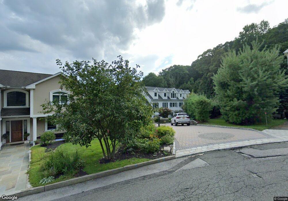
11 Lewis Ave Dobbs Ferry, NY 10522
Estimated Value: $1,614,000 - $1,695,000
3
Beds
4
Baths
3,377
Sq Ft
$489/Sq Ft
Est. Value
About This Home
This home is located at 11 Lewis Ave, Dobbs Ferry, NY 10522 and is currently estimated at $1,652,209, approximately $489 per square foot. 11 Lewis Ave is a home located in Westchester County with nearby schools including Concord Road Elementary School, Ardsley Middle School, and Ardsley High School.
Ownership History
Date
Name
Owned For
Owner Type
Purchase Details
Closed on
May 10, 2011
Sold by
Katia Grace Development Llc
Bought by
Kaya Sam and Kaya Berna
Current Estimated Value
Home Financials for this Owner
Home Financials are based on the most recent Mortgage that was taken out on this home.
Original Mortgage
$620,000
Outstanding Balance
$430,871
Interest Rate
4.88%
Mortgage Type
New Conventional
Estimated Equity
$1,221,338
Purchase Details
Closed on
Jan 28, 2005
Sold by
Ciabattari June F
Bought by
Dobbs Ferry Development Associates Inc
Create a Home Valuation Report for This Property
The Home Valuation Report is an in-depth analysis detailing your home's value as well as a comparison with similar homes in the area
Home Values in the Area
Average Home Value in this Area
Purchase History
| Date | Buyer | Sale Price | Title Company |
|---|---|---|---|
| Kaya Sam | $950,000 | None Available | |
| Dobbs Ferry Development Associates Inc | $70,000 | Fidelity National Title Insu |
Source: Public Records
Mortgage History
| Date | Status | Borrower | Loan Amount |
|---|---|---|---|
| Open | Kaya Sam | $620,000 |
Source: Public Records
Tax History Compared to Growth
Tax History
| Year | Tax Paid | Tax Assessment Tax Assessment Total Assessment is a certain percentage of the fair market value that is determined by local assessors to be the total taxable value of land and additions on the property. | Land | Improvement |
|---|---|---|---|---|
| 2024 | $44,635 | $1,384,100 | $331,400 | $1,052,700 |
| 2023 | $42,342 | $1,446,500 | $283,300 | $1,163,200 |
| 2022 | $41,011 | $1,347,600 | $283,300 | $1,064,300 |
| 2021 | $38,779 | $1,236,400 | $283,300 | $953,100 |
| 2020 | $38,092 | $1,139,500 | $251,500 | $888,000 |
| 2019 | $38,072 | $1,139,500 | $251,500 | $888,000 |
| 2018 | $45,176 | $1,139,500 | $251,500 | $888,000 |
| 2017 | $24,236 | $1,107,300 | $251,500 | $855,800 |
| 2016 | $30,677 | $1,211,200 | $283,300 | $927,900 |
| 2015 | -- | $26,600 | $700 | $25,900 |
| 2014 | -- | $26,600 | $700 | $25,900 |
| 2013 | -- | $26,600 | $700 | $25,900 |
Source: Public Records
Map
Nearby Homes
- 40 Northfield Ave
- 175 Northfield Ave
- 0 Lyman Place Unit KEY923539
- 0 Cyrus Field Rd Unit ONEH6318615
- 0 Ashford Ave Unit KEY885130
- 5 Forkland Ln
- 36 Capt Honeywells Rd
- 1402 Hunters Run
- 23 Bonaventure Ave
- 70 Washington Ave
- 801 Hunters Run
- 164 Washington Ave
- 17 Manor House Dr Unit K13
- 1001 Hunters Run
- 2 Belmont Dr
- 0 Sherman Ave Unit KEY841006
- 101 Beacon Hill Dr Unit 13
- 28 Lincoln Ave
- 14 Manor House Dr Unit G29
- 71 Havemeyer Rd