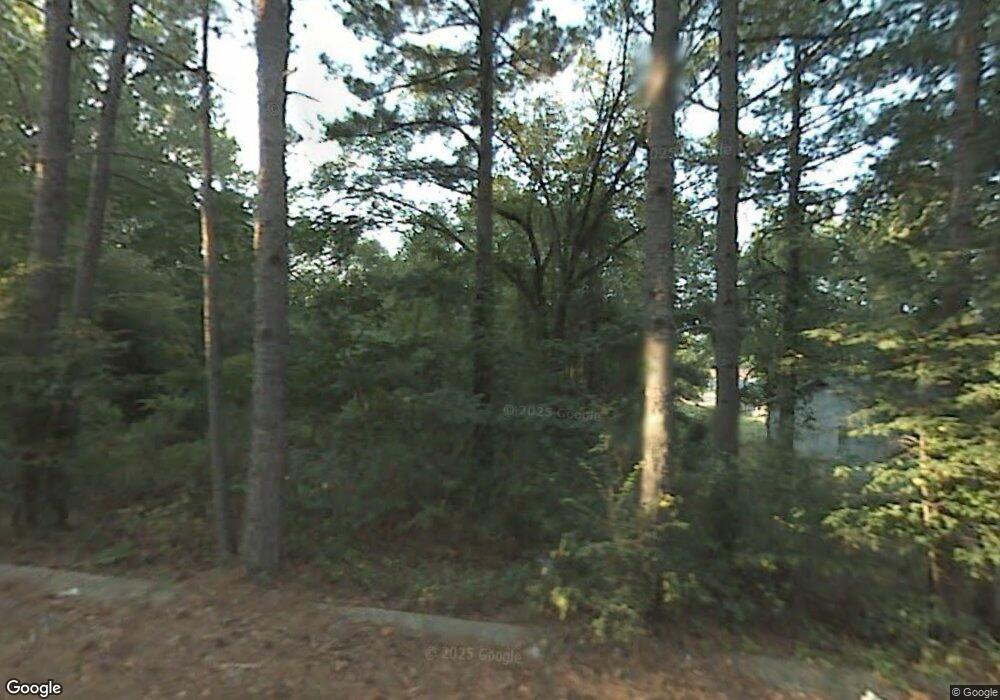
11 Libby Ln Little Rock, AR 72206
Landmark NeighborhoodEstimated Value: $196,000 - $245,000
--
Bed
1
Bath
1,835
Sq Ft
$126/Sq Ft
Est. Value
About This Home
This home is located at 11 Libby Ln, Little Rock, AR 72206 and is currently estimated at $230,941, approximately $125 per square foot. 11 Libby Ln is a home with nearby schools including Bates Elementary School, Mills University Studies High School, and Exalt Academy of Southwest Little Rock.
Ownership History
Date
Name
Owned For
Owner Type
Purchase Details
Closed on
Mar 12, 2010
Sold by
Sdw Enterprises Llc
Bought by
Duhart John
Current Estimated Value
Home Financials for this Owner
Home Financials are based on the most recent Mortgage that was taken out on this home.
Original Mortgage
$142,373
Outstanding Balance
$95,626
Interest Rate
5.25%
Mortgage Type
FHA
Estimated Equity
$135,315
Create a Home Valuation Report for This Property
The Home Valuation Report is an in-depth analysis detailing your home's value as well as a comparison with similar homes in the area
Home Values in the Area
Average Home Value in this Area
Purchase History
| Date | Buyer | Sale Price | Title Company |
|---|---|---|---|
| Duhart John | $145,000 | Netco Inc |
Source: Public Records
Mortgage History
| Date | Status | Borrower | Loan Amount |
|---|---|---|---|
| Open | Duhart John | $142,373 |
Source: Public Records
Tax History Compared to Growth
Tax History
| Year | Tax Paid | Tax Assessment Tax Assessment Total Assessment is a certain percentage of the fair market value that is determined by local assessors to be the total taxable value of land and additions on the property. | Land | Improvement |
|---|---|---|---|---|
| 2025 | $2,108 | $48,849 | $3,000 | $45,849 |
| 2024 | $1,932 | $48,849 | $3,000 | $45,849 |
| 2023 | $1,932 | $48,849 | $3,000 | $45,849 |
| 2022 | $1,844 | $48,849 | $3,000 | $45,849 |
| 2021 | $1,756 | $34,570 | $3,000 | $31,570 |
| 2020 | $1,381 | $34,570 | $3,000 | $31,570 |
| 2019 | $1,381 | $34,570 | $3,000 | $31,570 |
| 2018 | $1,406 | $34,570 | $3,000 | $31,570 |
| 2017 | $1,406 | $34,570 | $3,000 | $31,570 |
| 2016 | $1,367 | $33,800 | $4,000 | $29,800 |
| 2015 | $1,599 | $33,798 | $4,000 | $29,798 |
| 2014 | $1,599 | $31,468 | $4,000 | $27,468 |
Source: Public Records
Map
Nearby Homes
- 10 Callan Ln
- 20 Calion Dr
- 0 Baseline Rd Unit 25029813
- 3300 Green Dr
- 3508 Green Dr
- 3407 Avery Rd
- 3810 Vinson Rd
- 10816 Dreher Rd
- 4919 Baseline Rd
- 4623 Stratton Ave
- 8301 Stanton Rd
- 2820 Bonnie Ln
- 8511 Dreher Ln
- 13003 Ironton Cut-Off Rd
- 8616 Dreher Ln
- 8600 Dreher Ln
- 8406 Dreher Ln
- 2815 Willow Springs Rd
- 7 Linkay Ct
- 22 Old Glory Ct
